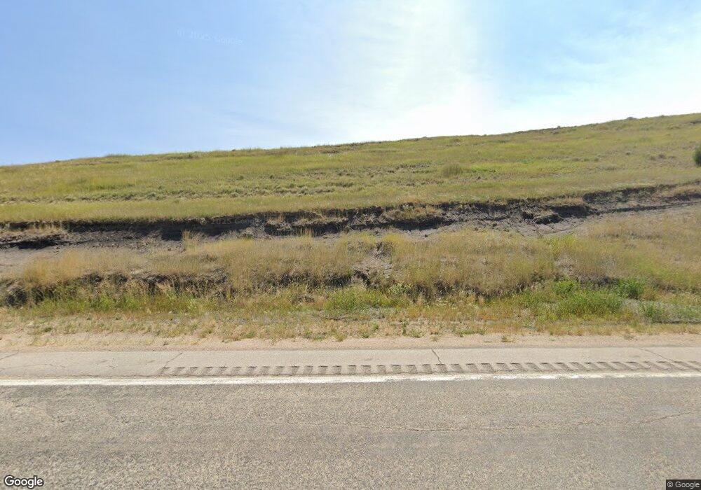
643 Decker Rd Sheridan, WY 82801
Estimated Value: $686,000 - $1,853,999
3
Beds
2
Baths
4,000
Sq Ft
$292/Sq Ft
Est. Value
About This Home
This home is located at 643 Decker Rd, Sheridan, WY 82801 and is currently estimated at $1,169,500, approximately $292 per square foot. 643 Decker Rd is a home located in Sheridan County with nearby schools including Sheridan High School.
Ownership History
Date
Name
Owned For
Owner Type
Purchase Details
Closed on
Sep 12, 2022
Sold by
Tfes 1036 Llc
Bought by
Bastrom Wade A and Bastrom Stephanie J
Current Estimated Value
Home Financials for this Owner
Home Financials are based on the most recent Mortgage that was taken out on this home.
Original Mortgage
$319,000
Interest Rate
5.81%
Mortgage Type
New Conventional
Purchase Details
Closed on
Jul 22, 2022
Sold by
Black Gold Land Company Llc
Bought by
Tfes 1036 Llc
Home Financials for this Owner
Home Financials are based on the most recent Mortgage that was taken out on this home.
Original Mortgage
$319,000
Interest Rate
5.81%
Mortgage Type
New Conventional
Purchase Details
Closed on
Jun 10, 2021
Sold by
Hutton Gary Wayne and Hutton Craig Evans
Bought by
Black Gold Land Company Llc
Create a Home Valuation Report for This Property
The Home Valuation Report is an in-depth analysis detailing your home's value as well as a comparison with similar homes in the area
Home Values in the Area
Average Home Value in this Area
Purchase History
| Date | Buyer | Sale Price | Title Company |
|---|---|---|---|
| Bastrom Wade A | -- | Title Financial Specialty Serv | |
| Tfes 1036 Llc | -- | None Listed On Document | |
| Black Gold Land Company Llc | -- | None Listed On Document |
Source: Public Records
Mortgage History
| Date | Status | Borrower | Loan Amount |
|---|---|---|---|
| Previous Owner | Tfes 1036 Llc | $319,000 |
Source: Public Records
Tax History Compared to Growth
Tax History
| Year | Tax Paid | Tax Assessment Tax Assessment Total Assessment is a certain percentage of the fair market value that is determined by local assessors to be the total taxable value of land and additions on the property. | Land | Improvement |
|---|---|---|---|---|
| 2025 | $4,350 | $49,046 | $2,982 | $46,064 |
| 2024 | $4,350 | $65,409 | $3,999 | $61,410 |
| 2023 | $62 | $932 | $932 | $0 |
| 2022 | $57 | $854 | $854 | $0 |
| 2021 | $1,829 | $27,510 | $27,510 | $0 |
| 2020 | $1,601 | $24,072 | $24,072 | $0 |
| 2019 | $36 | $23,883 | $23,883 | $0 |
| 2018 | $0 | $614 | $614 | $0 |
| 2017 | $0 | $583 | $583 | $0 |
| 2015 | -- | $494 | $494 | $0 |
| 2014 | -- | $475 | $475 | $0 |
| 2013 | -- | $422 | $422 | $0 |
Source: Public Records
Map
Nearby Homes
- 827 Decker Rd
- TBD St Hwy 339
- 74 Wilderness Way Unit (BTR-6)
- 1495 Oxbow Dr
- 3375 Wrench Dr
- 3750 Yellowtail Dr Unit Lot 6
- TBD Lower Prairie Dog Rd Unit Tract 1
- 821 Dietz Beatty Gulch Rd
- 1904 Val Vista St
- 1805 Kennedy St
- 1134 W 15th St
- 1792 Yonkee Ave
- 1703 Poplar Trail
- 1970 Maple Ave
- 1606 Omarr Ave
- 1851 Birch Ave
- 1629 Taylor Ave
- 1613 Taylor Ave
- 1673 N Heights Ave
- 1436 N Gould St
