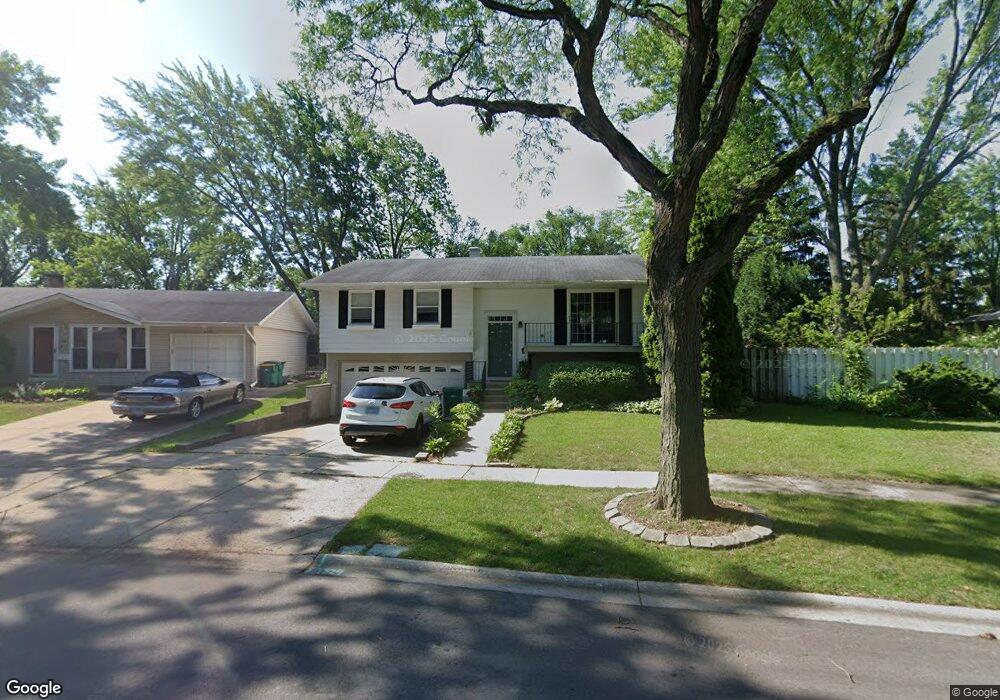
643 Elmwood Dr Buffalo Grove, IL 60089
South Buffalo Grove NeighborhoodEstimated Value: $373,000 - $448,000
3
Beds
2
Baths
1,076
Sq Ft
$382/Sq Ft
Est. Value
About This Home
This home is located at 643 Elmwood Dr, Buffalo Grove, IL 60089 and is currently estimated at $410,779, approximately $381 per square foot. 643 Elmwood Dr is a home located in Cook County with nearby schools including Henry W Longfellow Elementary School, Cooper Middle School, and Buffalo Grove High School.
Ownership History
Date
Name
Owned For
Owner Type
Purchase Details
Closed on
Oct 29, 1993
Sold by
Faber James P and Faber Patricia
Bought by
Gorro Joseph I and Sanfelippo Holly M
Current Estimated Value
Home Financials for this Owner
Home Financials are based on the most recent Mortgage that was taken out on this home.
Original Mortgage
$109,200
Interest Rate
4.5%
Purchase Details
Closed on
Dec 7, 1992
Sold by
Fsla Bell
Bought by
Faber James P and Faber Patsy
Create a Home Valuation Report for This Property
The Home Valuation Report is an in-depth analysis detailing your home's value as well as a comparison with similar homes in the area
Home Values in the Area
Average Home Value in this Area
Purchase History
| Date | Buyer | Sale Price | Title Company |
|---|---|---|---|
| Gorro Joseph I | $104,000 | -- | |
| Faber James P | -- | -- |
Source: Public Records
Mortgage History
| Date | Status | Borrower | Loan Amount |
|---|---|---|---|
| Previous Owner | Gorro Joseph I | $109,200 |
Source: Public Records
Tax History Compared to Growth
Tax History
| Year | Tax Paid | Tax Assessment Tax Assessment Total Assessment is a certain percentage of the fair market value that is determined by local assessors to be the total taxable value of land and additions on the property. | Land | Improvement |
|---|---|---|---|---|
| 2024 | $6,699 | $26,899 | $9,445 | $17,454 |
| 2023 | $6,387 | $26,899 | $9,445 | $17,454 |
| 2022 | $6,387 | $26,899 | $9,445 | $17,454 |
| 2021 | $6,415 | $24,151 | $6,690 | $17,461 |
| 2020 | $6,383 | $24,151 | $6,690 | $17,461 |
| 2019 | $6,407 | $26,865 | $6,690 | $20,175 |
| 2018 | $5,039 | $20,816 | $5,903 | $14,913 |
| 2017 | $5,896 | $20,816 | $5,903 | $14,913 |
| 2016 | $5,753 | $20,816 | $5,903 | $14,913 |
| 2015 | $6,312 | $21,203 | $5,116 | $16,087 |
| 2014 | $6,226 | $21,203 | $5,116 | $16,087 |
| 2013 | $5,737 | $21,203 | $5,116 | $16,087 |
Source: Public Records
Map
Nearby Homes
- 535 Estate Dr
- 410 Chatham Cir
- 455 Mayfair Ln
- 665 Thornwood Dr
- 571 Estate Dr
- 859 Beechwood Rd
- 310 Rosewood Ave
- 813 Stradford Cir Unit 21B2
- 820 Weidner Rd Unit 4013
- 820 Weidner Rd Unit 409
- 921 Bernard Dr
- 720 Weidner Rd Unit 302
- 234 Mohawk Trail
- 3451 N Carriageway Dr Unit 503
- 443 Diane Dr
- 183 Saint Marys Pkwy
- 561 Park View Terrace Unit 153
- 3300 N Carriageway Dr Unit 317
- 12 Oak Creek Dr Unit 2212
- 25 Crestview Terrace
- 639 Elmwood Dr
- 657 Elmwood Dr Unit 6
- 513 White Pine Rd
- 636 Hawthorne Rd
- 646 Hawthorne Rd
- 627 Elmwood Dr
- 626 Hawthorne Rd
- 529 White Pine Rd
- 648 Elmwood Dr
- 636 Elmwood Dr
- 614 Hawthorne Rd
- 1 Red Oak Ct
- 2 Red Oak Ct
- 477 White Pine Rd
- 628 Elmwood Dr
- 606 Hawthorne Rd
- 504 White Pine Rd
- 514 White Pine Rd
- 494 White Pine Rd
- 524 White Pine Rd