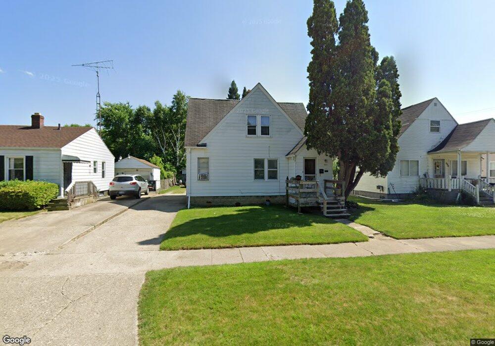
643 Leland St Flint, MI 48507
South Side NeighborhoodEstimated Value: $61,579 - $271,000
3
Beds
2
Baths
1,091
Sq Ft
$113/Sq Ft
Est. Value
About This Home
This home is located at 643 Leland St, Flint, MI 48507 and is currently estimated at $122,895, approximately $112 per square foot. 643 Leland St is a home located in Genesee County with nearby schools including Neithercut Elementary School, Flint Southwestern Classical Academy, and International Academy of Flint (K-12).
Ownership History
Date
Name
Owned For
Owner Type
Purchase Details
Closed on
Feb 26, 2013
Sold by
Irrevo Roger L Conley and Irrevo Shirley A Conley
Bought by
Asaro Salvatore S and Asaro Salvatore
Current Estimated Value
Purchase Details
Closed on
May 4, 2012
Sold by
Conley Shirley and Conley Roger L
Bought by
Asaro Salvatore
Purchase Details
Closed on
Dec 2, 2011
Sold by
Asaro Julie E
Bought by
Asaro Salvatore S
Purchase Details
Closed on
Oct 6, 2010
Sold by
Conley Roger L and Conley Shirley A
Bought by
Prince Terri D
Create a Home Valuation Report for This Property
The Home Valuation Report is an in-depth analysis detailing your home's value as well as a comparison with similar homes in the area
Home Values in the Area
Average Home Value in this Area
Purchase History
| Date | Buyer | Sale Price | Title Company |
|---|---|---|---|
| Asaro Salvatore S | -- | Sargents Title Company | |
| Carpenter Glenn R | $11,400 | Sargents Title Company | |
| Asaro Salvatore | $27,620 | First American Title Ins Co | |
| Asaro Salvatore S | -- | Greater Michigan Title Llc | |
| Prince Terri D | -- | None Available |
Source: Public Records
Tax History
| Year | Tax Paid | Tax Assessment Tax Assessment Total Assessment is a certain percentage of the fair market value that is determined by local assessors to be the total taxable value of land and additions on the property. | Land | Improvement |
|---|---|---|---|---|
| 2025 | $1,172 | $24,500 | $0 | $0 |
| 2024 | $1,105 | $21,300 | $0 | $0 |
| 2023 | $1,087 | $16,700 | $0 | $0 |
| 2022 | $0 | $14,700 | $0 | $0 |
| 2021 | $1,062 | $13,400 | $0 | $0 |
| 2020 | $995 | $12,600 | $0 | $0 |
| 2019 | $812 | $9,900 | $0 | $0 |
| 2018 | $943 | $8,300 | $0 | $0 |
| 2017 | $924 | $0 | $0 | $0 |
| 2016 | $919 | $0 | $0 | $0 |
| 2015 | -- | $0 | $0 | $0 |
| 2014 | -- | $0 | $0 | $0 |
| 2012 | -- | $10,700 | $0 | $0 |
Source: Public Records
Map
Nearby Homes
- 652 Crawford St
- 612 Clinton St
- 806 Alvord Ave
- 805 Alvord Ave
- 738 W Atherton Rd
- 822 Campbell St
- 829 Clinton St
- 845 Alvord Ave
- 3902 Cuthbertson St
- 3902 Brunswick Ave
- 805 Vermilya Ave
- 825 Vermilya Ave
- 1216 E Hemphill Rd
- 912 Markham St
- 846 W Hemphill Rd
- 1015 Alvord Ave
- 1028 Campbell St
- 1219 Norton St
- 855 Victoria Ave
- 1130 W Atherton Rd
- 639 Leland St
- 649 Leland St
- 644 Crawford St
- 640 Crawford St
- 648 Crawford St
- 636 Crawford St
- 632 Crawford St
- 653 Leland St
- 631 Leland St
- 619 Leland St
- 628 Crawford St
- 624 Crawford St
- 643 Crawford St
- 639 Crawford St
- 647 Crawford St
- 702 Crawford St
- 635 Crawford St
- 4000 Euston St
- 642 Leland St
- 651 Crawford St
Your Personal Tour Guide
Ask me questions while you tour the home.