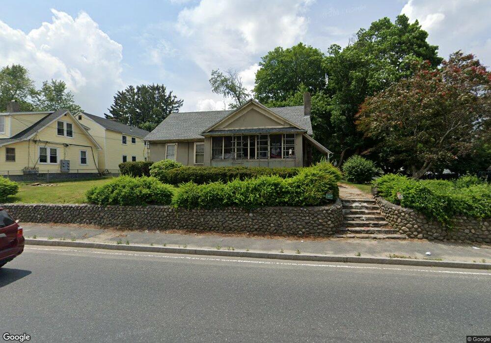
643 Plantation St Worcester, MA 01605
Estimated Value: $406,425 - $493,000
4
Beds
1
Bath
1,524
Sq Ft
$281/Sq Ft
Est. Value
About This Home
This home is located at 643 Plantation St, Worcester, MA 01605 and is currently estimated at $428,606, approximately $281 per square foot. 643 Plantation St is a home located in Worcester County with nearby schools including Jacob Hiatt Magnet School, Chandler Magnet, and Lincoln Street School.
Ownership History
Date
Name
Owned For
Owner Type
Purchase Details
Closed on
Aug 23, 2010
Sold by
Burgess Carlton V and Burgess Constance A
Bought by
Burgess Robert C and Burgess Carlton V
Current Estimated Value
Purchase Details
Closed on
Aug 8, 2002
Sold by
Mcgourty David H
Bought by
Causey Wilton
Home Financials for this Owner
Home Financials are based on the most recent Mortgage that was taken out on this home.
Original Mortgage
$72,150
Interest Rate
6.58%
Mortgage Type
Purchase Money Mortgage
Create a Home Valuation Report for This Property
The Home Valuation Report is an in-depth analysis detailing your home's value as well as a comparison with similar homes in the area
Home Values in the Area
Average Home Value in this Area
Purchase History
| Date | Buyer | Sale Price | Title Company |
|---|---|---|---|
| Burgess Robert C | -- | -- | |
| Causey Wilton | $84,900 | -- |
Source: Public Records
Mortgage History
| Date | Status | Borrower | Loan Amount |
|---|---|---|---|
| Previous Owner | Causey Wilton | $72,150 |
Source: Public Records
Tax History Compared to Growth
Tax History
| Year | Tax Paid | Tax Assessment Tax Assessment Total Assessment is a certain percentage of the fair market value that is determined by local assessors to be the total taxable value of land and additions on the property. | Land | Improvement |
|---|---|---|---|---|
| 2025 | $4,043 | $306,500 | $119,300 | $187,200 |
| 2024 | $3,920 | $285,100 | $119,300 | $165,800 |
| 2023 | $3,740 | $260,800 | $103,700 | $157,100 |
| 2022 | $3,416 | $224,600 | $83,000 | $141,600 |
| 2021 | $3,308 | $203,200 | $66,400 | $136,800 |
| 2020 | $3,186 | $187,400 | $66,300 | $121,100 |
| 2019 | $3,069 | $170,500 | $60,000 | $110,500 |
| 2018 | $3,086 | $163,200 | $60,000 | $103,200 |
| 2017 | $2,981 | $155,100 | $60,000 | $95,100 |
| 2016 | $2,912 | $141,300 | $45,400 | $95,900 |
| 2015 | $2,836 | $141,300 | $45,400 | $95,900 |
| 2014 | $2,761 | $141,300 | $45,400 | $95,900 |
Source: Public Records
Map
Nearby Homes
- 57 Pasadena Pkwy
- 3 Huron Ave
- 22 Huron Ave
- 15 Wayside Rd
- 5A Wigwam Hill Dr Unit A
- 25 White Ave
- 91-93 Natural History Dr
- 66 Clinton St
- 64 Wauwinet Rd
- 56 Ireta Rd
- 163 N Lake Ave
- 45 Goldthwaite Rd
- 9 Green Hill Ave
- 45 Ireta Rd
- 2206 Halcyon Dr Unit 2206
- 304 Saint Nicholas Ave
- 29 Dominion Rd
- 15 Eaglehead Terrace Unit 5
- 190 Dominion Rd
- 19 Eaglehead Terrace Unit 2
- 641 Plantation St Unit 1
- 641 Plantation St
- 649 Plantation St
- 21 Amesbury St
- 23 Amesbury St
- 19 Amesbury St
- 639 Plantation St
- 651 Plantation St Unit 1
- 651B Plantation St
- 651A Plantation St
- 25 Amesbury St
- 15 Amesbury St
- 637 Plantation St
- 13 Amesbury St
- 42,44 & 46 Amesbury St
- 635 Plantation St
- 653 Plantation St Unit 10A
- 653 Plantation St Unit 24
- 653 Plantation St Unit 23
- 653 Plantation St Unit 22