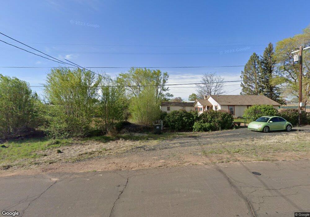
643 S 2nd St W Snowflake, AZ 85937
Estimated Value: $444,349 - $584,000
--
Bed
--
Bath
3,400
Sq Ft
$151/Sq Ft
Est. Value
About This Home
This home is located at 643 S 2nd St W, Snowflake, AZ 85937 and is currently estimated at $514,087, approximately $151 per square foot. 643 S 2nd St W is a home located in Navajo County with nearby schools including Highland Primary School, Snowflake Intermediate School, and Snowflake Junior High School.
Ownership History
Date
Name
Owned For
Owner Type
Purchase Details
Closed on
Mar 21, 2023
Sold by
Golden Key Investments Group Llc
Bought by
Taz Properties Llc
Current Estimated Value
Purchase Details
Closed on
Apr 18, 2018
Sold by
Taylor Ray Ariel and Taylor Carolyn
Bought by
Golden Key Investment Group Llc
Home Financials for this Owner
Home Financials are based on the most recent Mortgage that was taken out on this home.
Original Mortgage
$92,892
Interest Rate
4.4%
Mortgage Type
Purchase Money Mortgage
Purchase Details
Closed on
May 19, 2009
Sold by
Taylor Ray A and Taylor Carolyn
Bought by
Taylor Ray Ariel and Taylor Carolyn
Create a Home Valuation Report for This Property
The Home Valuation Report is an in-depth analysis detailing your home's value as well as a comparison with similar homes in the area
Home Values in the Area
Average Home Value in this Area
Purchase History
| Date | Buyer | Sale Price | Title Company |
|---|---|---|---|
| Taz Properties Llc | -- | -- | |
| Golden Key Investment Group Llc | $238,500 | Lawyers Title | |
| Taylor Ray Ariel | -- | Lawyers Title Ins Corp |
Source: Public Records
Mortgage History
| Date | Status | Borrower | Loan Amount |
|---|---|---|---|
| Previous Owner | Golden Key Investment Group Llc | $92,892 |
Source: Public Records
Tax History Compared to Growth
Tax History
| Year | Tax Paid | Tax Assessment Tax Assessment Total Assessment is a certain percentage of the fair market value that is determined by local assessors to be the total taxable value of land and additions on the property. | Land | Improvement |
|---|---|---|---|---|
| 2026 | $1,686 | -- | -- | -- |
| 2025 | $1,646 | $46,682 | $3,345 | $43,337 |
| 2024 | $1,725 | $42,753 | $2,909 | $39,844 |
| 2023 | $1,646 | $27,944 | $547 | $27,397 |
| 2022 | $1,725 | $0 | $0 | $0 |
| 2021 | $2,100 | $0 | $0 | $0 |
| 2020 | $2,156 | $0 | $0 | $0 |
| 2019 | $2,114 | $0 | $0 | $0 |
| 2018 | $2,056 | $0 | $0 | $0 |
| 2017 | $2,009 | $0 | $0 | $0 |
| 2016 | $2,040 | $0 | $0 | $0 |
| 2015 | $1,847 | $19,137 | $1,031 | $18,106 |
Source: Public Records
Map
Nearby Homes
- 0 S 1st St W
- 416 S 2nd St W
- 381 W 7th St S
- 940 S 2nd St W
- 864 S 1st St E
- 960 S Highland Dr
- 44 S 3rd St W Unit W
- 44 S 3rd St W
- 274 W Sycamore Unit 1
- 215 E 10th St S
- 461 W Center St
- 177 W 1st St N
- 420 S Astante Dr
- 552 W Mclaws Ave
- 1052 W 8th St S
- 177 N 1st East St
- 221 N Main St
- 276 N 2nd St W
- 276 N 2nd St W Unit West
- 7545 E Sherwood Ln Unit R
- 643 S 2nd St W
- 625 S 2nd St W
- 152 W 7th St S
- 670 S 1st St W
- 176 W 7th St S
- 176 W 7th St S
- 176 W 7th St S
- 585 S 2nd St W
- 130 W 7th St S
- 174 W 6th St S
- 560 S 6 1/2 St W
- 563 S 2nd St W
- 615 S 1st St W
- 615 S 1st St W
- 75 W 6th St S
- 165 W 7th St S
- 139 W 7th St S
- 560 S 1st St W
- 730 S 1st St W
- 545 S 2nd St W