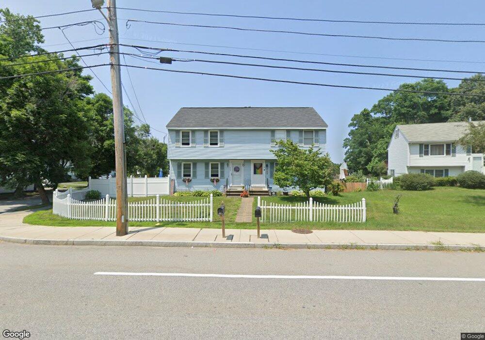
643 S Main St Haverhill, MA 01835
Central Bradford NeighborhoodEstimated Value: $374,000 - $420,000
2
Beds
2
Baths
1,077
Sq Ft
$376/Sq Ft
Est. Value
About This Home
This home is located at 643 S Main St, Haverhill, MA 01835 and is currently estimated at $404,543, approximately $375 per square foot. 643 S Main St is a home located in Essex County with nearby schools including Greenleaf Academy, Bradford Elementary School, and Haverhill High School.
Ownership History
Date
Name
Owned For
Owner Type
Purchase Details
Closed on
Oct 21, 2009
Sold by
Church Cynthia
Bought by
Carter Hope R
Current Estimated Value
Home Financials for this Owner
Home Financials are based on the most recent Mortgage that was taken out on this home.
Original Mortgage
$160,300
Outstanding Balance
$104,727
Interest Rate
5.09%
Mortgage Type
Purchase Money Mortgage
Estimated Equity
$299,816
Purchase Details
Closed on
Aug 30, 2002
Sold by
Amaro Alison L and Amaro Robert S
Bought by
Church Cynthia
Purchase Details
Closed on
Jun 5, 1998
Sold by
Haidaichuk Robert J and Walsh Cynthia L
Bought by
Amaro Robert S and Amaro Allison L
Create a Home Valuation Report for This Property
The Home Valuation Report is an in-depth analysis detailing your home's value as well as a comparison with similar homes in the area
Home Values in the Area
Average Home Value in this Area
Purchase History
| Date | Buyer | Sale Price | Title Company |
|---|---|---|---|
| Carter Hope R | $167,000 | -- | |
| Church Cynthia | $175,000 | -- | |
| Amaro Robert S | $94,000 | -- |
Source: Public Records
Mortgage History
| Date | Status | Borrower | Loan Amount |
|---|---|---|---|
| Open | Amaro Robert S | $160,300 | |
| Closed | Amaro Robert S | $10,000 | |
| Previous Owner | Amaro Robert S | $152,000 |
Source: Public Records
Tax History Compared to Growth
Tax History
| Year | Tax Paid | Tax Assessment Tax Assessment Total Assessment is a certain percentage of the fair market value that is determined by local assessors to be the total taxable value of land and additions on the property. | Land | Improvement |
|---|---|---|---|---|
| 2025 | $4,004 | $373,900 | $0 | $373,900 |
| 2024 | $3,774 | $354,700 | $0 | $354,700 |
| 2023 | $3,508 | $314,600 | $0 | $314,600 |
| 2022 | $3,391 | $266,600 | $0 | $266,600 |
| 2021 | $3,359 | $249,900 | $0 | $249,900 |
| 2020 | $3,152 | $231,800 | $0 | $231,800 |
| 2019 | $3,010 | $215,800 | $0 | $215,800 |
| 2018 | $3,086 | $216,400 | $0 | $216,400 |
| 2017 | $2,652 | $176,900 | $0 | $176,900 |
| 2016 | $2,604 | $169,500 | $0 | $169,500 |
| 2015 | $2,488 | $162,100 | $0 | $162,100 |
Source: Public Records
Map
Nearby Homes
- 552 S Main St Unit 2
- 36 S Spring St
- 496 S Main St
- 402 River St Unit 3E
- 812 S Main St
- 11 Villa St Unit 106
- 80/88 River St
- 219-221 Wilson St Unit 1
- 23 Lincolnshire Dr
- 39 Ayer St
- 552 Washington St
- 15 Blossom St
- 455 Washington St
- 2 Marion St
- 585 Washington St
- 40 Haseltine St
- 1 Marion St
- 340 Kingsbury Ave
- 15 Hyatt Ave
- 45 Lincolnshire Dr
- 645 S Main St
- 639 S Main St
- 639 S Main St Unit 639
- 7 Glen Meadow Rd
- 641 S Main St
- 5 Glen Meadow Rd
- 647 S Main St
- 649 S Main St
- 11 Glen Meadow Rd
- 633 S Main St
- 9 Glen Meadow Rd
- 8 Glen Meadow Rd
- 6 Glen Meadow Rd
- 15 Glen Meadow Rd
- 1 Myles Standish Dr Unit 4
- 1 Myles Standish Dr Unit 3
- 1 Myles Standish Dr Unit 2
- 1 Myles Standish Dr Unit 12A
- 1 Myles Standish Dr
- 13 Glen Meadow Rd