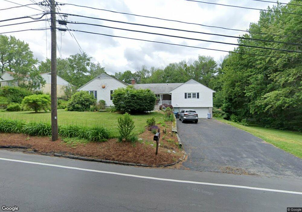
643 Salisbury St Holden, MA 01520
Estimated Value: $661,632 - $829,000
4
Beds
2
Baths
3,030
Sq Ft
$235/Sq Ft
Est. Value
About This Home
This home is located at 643 Salisbury St, Holden, MA 01520 and is currently estimated at $712,408, approximately $235 per square foot. 643 Salisbury St is a home located in Worcester County with nearby schools including Wachusett Regional High School, Bancroft School, and Holden Christian Academy.
Ownership History
Date
Name
Owned For
Owner Type
Purchase Details
Closed on
May 28, 2010
Sold by
James Mark S and James Jane
Bought by
Alteri Christian N and Alteri Barbara
Current Estimated Value
Home Financials for this Owner
Home Financials are based on the most recent Mortgage that was taken out on this home.
Original Mortgage
$315,185
Outstanding Balance
$210,199
Interest Rate
4.87%
Mortgage Type
FHA
Estimated Equity
$502,209
Purchase Details
Closed on
Nov 2, 1998
Sold by
Sahagian Stephen R and Sahagian Agnes B
Bought by
James Mark S
Home Financials for this Owner
Home Financials are based on the most recent Mortgage that was taken out on this home.
Original Mortgage
$156,600
Interest Rate
6.68%
Mortgage Type
Purchase Money Mortgage
Create a Home Valuation Report for This Property
The Home Valuation Report is an in-depth analysis detailing your home's value as well as a comparison with similar homes in the area
Home Values in the Area
Average Home Value in this Area
Purchase History
| Date | Buyer | Sale Price | Title Company |
|---|---|---|---|
| Alteri Christian N | $321,000 | -- | |
| James Mark S | $174,000 | -- |
Source: Public Records
Mortgage History
| Date | Status | Borrower | Loan Amount |
|---|---|---|---|
| Open | Alteri Christian N | $315,185 | |
| Previous Owner | James Mark S | $218,000 | |
| Previous Owner | James Mark S | $205,600 | |
| Previous Owner | James Mark S | $20,400 | |
| Previous Owner | James Mark S | $156,600 |
Source: Public Records
Tax History Compared to Growth
Tax History
| Year | Tax Paid | Tax Assessment Tax Assessment Total Assessment is a certain percentage of the fair market value that is determined by local assessors to be the total taxable value of land and additions on the property. | Land | Improvement |
|---|---|---|---|---|
| 2025 | $7,629 | $550,400 | $173,100 | $377,300 |
| 2024 | $7,536 | $532,600 | $168,100 | $364,500 |
| 2023 | $7,326 | $488,700 | $146,100 | $342,600 |
| 2022 | $103 | $434,800 | $114,100 | $320,700 |
| 2021 | $103 | $398,800 | $108,700 | $290,100 |
| 2020 | $6,384 | $375,500 | $103,600 | $271,900 |
| 2019 | $6,247 | $358,000 | $103,600 | $254,400 |
| 2018 | $5,894 | $334,700 | $98,600 | $236,100 |
| 2017 | $97 | $325,900 | $98,600 | $227,300 |
| 2016 | $5,384 | $312,100 | $93,800 | $218,300 |
| 2015 | $5,335 | $294,400 | $93,800 | $200,600 |
| 2014 | $5,204 | $293,200 | $93,800 | $199,400 |
Source: Public Records
Map
Nearby Homes
- 68 Fisher Rd
- 527 Salisbury St
- 10 Sumac Cir
- 2 Explorers Way Unit 2
- 48 Lexington Cir
- 156 Newell Rd
- 288 Fisher Rd
- 27 Tea Party Cir Unit 27
- 168 Twinbrooke Dr
- 35 Chapin Rd
- 23 Gail Dr
- 47 Banbury Ln
- 303 Greenwich Ct Unit 303
- 3901 Knightsbridge Close Unit 3901
- 4004 Brompton Cir
- 314 Main St
- 0 Chapin Rd
- 4 Barrows Rd
- 27 Mayflower Cir
- 770 Salisbury St Unit 201