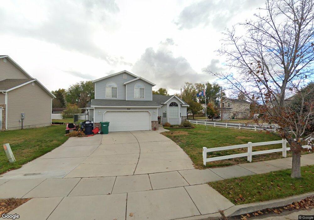
643 W Cook Dr N Layton, UT 84041
Estimated Value: $483,000 - $517,000
3
Beds
3
Baths
1,771
Sq Ft
$280/Sq Ft
Est. Value
About This Home
This home is located at 643 W Cook Dr N, Layton, UT 84041 and is currently estimated at $495,488, approximately $279 per square foot. 643 W Cook Dr N is a home located in Davis County with nearby schools including Layton Elementary School, Fairfield Junior High School, and Layton High School.
Ownership History
Date
Name
Owned For
Owner Type
Purchase Details
Closed on
Sep 10, 2020
Sold by
Hoskins Matthew
Bought by
Rasband Justin C and Rasband Katie
Current Estimated Value
Home Financials for this Owner
Home Financials are based on the most recent Mortgage that was taken out on this home.
Original Mortgage
$330,000
Outstanding Balance
$292,187
Interest Rate
2.9%
Mortgage Type
VA
Estimated Equity
$203,301
Purchase Details
Closed on
May 14, 2018
Sold by
Hoskins Matthew
Bought by
Hoskins Matthew
Home Financials for this Owner
Home Financials are based on the most recent Mortgage that was taken out on this home.
Original Mortgage
$148,000
Interest Rate
4.4%
Mortgage Type
New Conventional
Purchase Details
Closed on
Nov 14, 2017
Sold by
Hoskins Karlee A
Bought by
Hoskins Matthew
Purchase Details
Closed on
May 29, 2008
Sold by
Matteucci Jace and Matteucci Joanne B
Bought by
Horrocks Karlee A
Home Financials for this Owner
Home Financials are based on the most recent Mortgage that was taken out on this home.
Original Mortgage
$166,881
Interest Rate
6.05%
Mortgage Type
FHA
Purchase Details
Closed on
Jul 31, 2001
Sold by
Matteucci Jace
Bought by
Matteucci Jace and Matteucci Joann B
Home Financials for this Owner
Home Financials are based on the most recent Mortgage that was taken out on this home.
Original Mortgage
$141,321
Interest Rate
7.09%
Mortgage Type
VA
Create a Home Valuation Report for This Property
The Home Valuation Report is an in-depth analysis detailing your home's value as well as a comparison with similar homes in the area
Home Values in the Area
Average Home Value in this Area
Purchase History
| Date | Buyer | Sale Price | Title Company |
|---|---|---|---|
| Rasband Justin C | -- | Premium Title And Esc | |
| Hoskins Matthew | -- | Keystone Title | |
| Hoskins Matthew | -- | Keystone Title | |
| Horrocks Karlee A | -- | First American Title | |
| Matteucci Jace | -- | First American Title Co | |
| Mattrucci Jack | -- | Associated Title Company |
Source: Public Records
Mortgage History
| Date | Status | Borrower | Loan Amount |
|---|---|---|---|
| Open | Rasband Justin C | $330,000 | |
| Previous Owner | Hoskins Matthew | $148,000 | |
| Previous Owner | Horrocks Karlee A | $166,881 | |
| Previous Owner | Mattrucci Jack | $141,321 |
Source: Public Records
Tax History Compared to Growth
Tax History
| Year | Tax Paid | Tax Assessment Tax Assessment Total Assessment is a certain percentage of the fair market value that is determined by local assessors to be the total taxable value of land and additions on the property. | Land | Improvement |
|---|---|---|---|---|
| 2025 | -- | $239,800 | $119,892 | $119,908 |
| 2024 | $2,125 | $233,750 | $129,447 | $104,303 |
| 2023 | $2,125 | $396,000 | $134,524 | $261,476 |
| 2022 | $2,244 | $227,150 | $79,796 | $147,354 |
| 2021 | $2,060 | $311,000 | $119,687 | $191,313 |
| 2020 | $1,989 | $288,000 | $101,839 | $186,161 |
| 2019 | $2,066 | $293,000 | $101,726 | $191,274 |
| 2018 | $1,896 | $270,000 | $89,525 | $180,475 |
| 2016 | $1,709 | $125,565 | $36,589 | $88,976 |
| 2015 | $1,704 | $118,855 | $36,589 | $82,266 |
| 2014 | $1,620 | $115,479 | $36,589 | $78,890 |
| 2013 | -- | $103,680 | $29,198 | $74,482 |
Source: Public Records
Map
Nearby Homes
- 485 W 100 N
- 750 W Gentile St
- 526 King St Unit 2
- 356 W 25 N
- 6 Grover St
- 355 W Gentile St
- 933 W Gentile St
- 495 Spurlock St
- 267 S Melody St
- 480 Spurlock St
- 174 W Dawson St
- 362 S 950 W
- 1113 W Angel Hill Ct
- 441 Church St
- 1015 W 350 S
- 142 Green Dr
- 1677 N 1600 W Unit 134
- 562 S 850 W
- 298 Amber Ln
- 316 Amber Ln