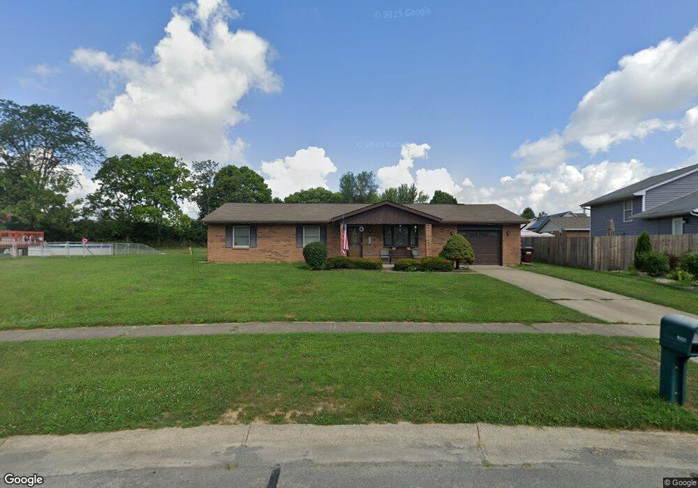
6431 Anderson Dr Liberty Township, OH 45044
Estimated Value: $233,000 - $279,000
3
Beds
2
Baths
1,075
Sq Ft
$232/Sq Ft
Est. Value
About This Home
This home is located at 6431 Anderson Dr, Liberty Township, OH 45044 and is currently estimated at $249,688, approximately $232 per square foot. 6431 Anderson Dr is a home located in Butler County with nearby schools including Independence Elementary School, Liberty Junior School, and Lakota East High School.
Ownership History
Date
Name
Owned For
Owner Type
Purchase Details
Closed on
Aug 28, 2003
Sold by
Mcqueen Steve and Mcqueen Susan
Bought by
Woodall John and Woodall Lisa
Current Estimated Value
Home Financials for this Owner
Home Financials are based on the most recent Mortgage that was taken out on this home.
Original Mortgage
$104,500
Outstanding Balance
$47,576
Interest Rate
5.97%
Mortgage Type
Purchase Money Mortgage
Estimated Equity
$202,112
Purchase Details
Closed on
Nov 7, 2001
Sold by
Mccaffrey Gayle J
Bought by
Mcqueen Steve
Home Financials for this Owner
Home Financials are based on the most recent Mortgage that was taken out on this home.
Original Mortgage
$104,500
Interest Rate
6.69%
Mortgage Type
Purchase Money Mortgage
Purchase Details
Closed on
Dec 7, 2000
Sold by
Kathy Lowe and Kathy Charles W
Bought by
Mccaffrey Gayle J
Purchase Details
Closed on
Sep 1, 1986
Create a Home Valuation Report for This Property
The Home Valuation Report is an in-depth analysis detailing your home's value as well as a comparison with similar homes in the area
Home Values in the Area
Average Home Value in this Area
Purchase History
| Date | Buyer | Sale Price | Title Company |
|---|---|---|---|
| Woodall John | $117,500 | Advanced Land Title Agency L | |
| Mcqueen Steve | $110,000 | -- | |
| Mccaffrey Gayle J | -- | -- | |
| -- | $12,000 | -- |
Source: Public Records
Mortgage History
| Date | Status | Borrower | Loan Amount |
|---|---|---|---|
| Open | Woodall John | $104,500 | |
| Previous Owner | Mcqueen Steve | $104,500 |
Source: Public Records
Tax History Compared to Growth
Tax History
| Year | Tax Paid | Tax Assessment Tax Assessment Total Assessment is a certain percentage of the fair market value that is determined by local assessors to be the total taxable value of land and additions on the property. | Land | Improvement |
|---|---|---|---|---|
| 2024 | $2,602 | $66,300 | $15,030 | $51,270 |
| 2023 | $2,570 | $66,080 | $15,030 | $51,050 |
| 2022 | $2,504 | $50,610 | $15,030 | $35,580 |
| 2021 | $2,491 | $50,610 | $15,030 | $35,580 |
| 2020 | $2,555 | $50,610 | $15,030 | $35,580 |
| 2019 | $4,521 | $46,930 | $16,630 | $30,300 |
| 2018 | $2,645 | $46,930 | $16,630 | $30,300 |
| 2017 | $2,696 | $46,930 | $16,630 | $30,300 |
| 2016 | $2,505 | $43,340 | $16,630 | $26,710 |
| 2015 | $2,491 | $43,340 | $16,630 | $26,710 |
| 2014 | $2,132 | $43,340 | $16,630 | $26,710 |
| 2013 | $2,132 | $35,560 | $12,400 | $23,160 |
Source: Public Records
Map
Nearby Homes
- 6405 Cincinnati Dayton Rd
- 6335 Gem Stone Dr
- 6681 Cincinnati Dayton Rd
- 6703 Cincinnati Dayton Rd
- 7241 Stonebrook Ct
- 7232 Eaglestone Ct
- 6821 Cincinnati Dayton Rd
- 8091 Green Lake Dr
- 7162 Wyandot Ln
- 7644 Millikin Rd
- 7798 Derbyshire Ct
- 7109 Maple Creek Dr
- 7147 Wilhelmina Dr
- 5933 Old Pebble Path
- 5913 Stones Throw Way
- 7120 Shady Brook Bend
- 6951 Ash Creek Ct
- 7108 Shady Brook Bend
- 7113 Shady Brook Bend
- 8319 Verbena Ln
- 6439 Anderson Dr
- 6411 Sandric Ln
- 6405 Sandric Ln
- 6447 Anderson Dr
- 6420 Anderson Dr
- 6399 Sandric Ln
- 6391 Sandric Ln
- 6454 Anderson Dr
- 6455 Anderson Dr
- 6435 Sandric Ln
- 6418 Sandric Ln
- 6385 Sandric Ln
- 7649 Kimball Ct
- 6426 Sandric Ln
- 6462 Anderson Dr
- 7649 Kimball Dr
- 6436 Sandric Ln
- 6465 Anderson Dr
- 6377 Sandric Ln
- 6451 Sandric Ln