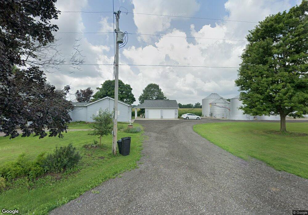
6431 State Route 203 Radnor, OH 43066
Estimated Value: $383,000
4
Beds
2
Baths
2,236
Sq Ft
$171/Sq Ft
Est. Value
About This Home
This home is located at 6431 State Route 203, Radnor, OH 43066 and is currently priced at $383,000, approximately $171 per square foot. 6431 State Route 203 is a home located in Delaware County with nearby schools including Buckeye Valley High School.
Ownership History
Date
Name
Owned For
Owner Type
Purchase Details
Closed on
Oct 25, 2024
Sold by
Karen S Hedges Trust and Hedges Karen S
Bought by
Mgm Land Llc
Current Estimated Value
Home Financials for this Owner
Home Financials are based on the most recent Mortgage that was taken out on this home.
Original Mortgage
$1,341,256
Interest Rate
6.96%
Mortgage Type
Seller Take Back
Purchase Details
Closed on
Mar 11, 2022
Sold by
Karen S Hedges Trust
Bought by
Gallant Bryan R and Gallant Doris A
Purchase Details
Closed on
Feb 26, 2022
Sold by
Karen S Hedges Trust
Bought by
Gallant Bryan R and Gallant Doris A
Purchase Details
Closed on
Nov 27, 2020
Sold by
William I Hedges Trust and Hedges Karen S
Bought by
Hedges Karen S
Purchase Details
Closed on
Nov 17, 2020
Sold by
Hedges Karen S and William I Hedges Trust
Bought by
Hedges Karen S
Purchase Details
Closed on
Jul 24, 2009
Sold by
Hedges William I and Hedges Karen S
Bought by
Hedges William I and Hedges Karen S
Create a Home Valuation Report for This Property
The Home Valuation Report is an in-depth analysis detailing your home's value as well as a comparison with similar homes in the area
Home Values in the Area
Average Home Value in this Area
Purchase History
| Date | Buyer | Sale Price | Title Company |
|---|---|---|---|
| Mgm Land Llc | $1,695,100 | Crossland Title | |
| Gallant Bryan R | $25,000 | New Title Company Name | |
| Gallant Bryan R | $25,000 | New Title Company Name | |
| Hedges Karen S | -- | None Listed On Document | |
| Hedges Karen S | -- | None Available | |
| Hedges William I | -- | Attorney |
Source: Public Records
Mortgage History
| Date | Status | Borrower | Loan Amount |
|---|---|---|---|
| Previous Owner | Mgm Land Llc | $1,341,256 |
Source: Public Records
Tax History Compared to Growth
Tax History
| Year | Tax Paid | Tax Assessment Tax Assessment Total Assessment is a certain percentage of the fair market value that is determined by local assessors to be the total taxable value of land and additions on the property. | Land | Improvement |
|---|---|---|---|---|
| 2024 | $103 | $7,210 | $7,210 | -- |
| 2023 | $103 | $7,210 | $7,210 | -- |
| 2022 | $264 | $12,120 | $7,740 | $4,380 |
| 2021 | $265 | $12,120 | $7,740 | $4,380 |
| 2020 | $263 | $12,120 | $7,740 | $4,380 |
| 2019 | $304 | $10,890 | $6,720 | $4,170 |
| 2018 | $306 | $10,890 | $6,720 | $4,170 |
| 2017 | $141 | $9,040 | $4,870 | $4,170 |
| 2016 | $306 | $9,040 | $4,870 | $4,170 |
| 2015 | $325 | $9,600 | $5,430 | $4,170 |
| 2014 | $2,445 | $69,200 | $16,870 | $52,330 |
| 2013 | $2,427 | $66,570 | $15,050 | $51,520 |
Source: Public Records
Map
Nearby Homes
- 4518 State Route 257
- 206 S East St
- 4093 State Route 257
- 303 Park Ave
- 0 Norton Rd Unit 225044832
- 0 Norton Rd Unit 225044831
- 0 Norton Rd
- 0 Norton Rd Unit 225044837
- 0 Norton Rd Unit 225044834
- 0 Norton Rd Unit 225044830
- 0 Norton Rd Unit 225044835
- 3414 State Route 203
- 2217 Radnor Rd
- 6343 State Route 4
- 2390 Penry Rd
- 6412 Troy Rd
- 3935 N Section Line Rd
- 1859 State Route 257 N
- 3232 Gallant Rd
- 0 Marsh Rd Unit 225031436
- 6230 State Route 203
- 6230 Ohio 203
- 5907 Hoskins Rd
- 6822 State Route 203
- 6489 Curtis Rd
- 6006 Hoskins Rd
- 5987 Curtis Rd
- 6241 Curtis Rd
- 5915 Curtis Rd
- 5560 Jones Rd
- 5959 Curtis Rd
- 5772 Street
- 5487 Jones Rd
- 7243 Curtis Rd
- 0 Curtis Rd
- 5772 State Route 203
- 5975 Curtis Rd
- 5937 Curtis Rd
- 5972 Curtis Rd
- 7067 Curtis Rd