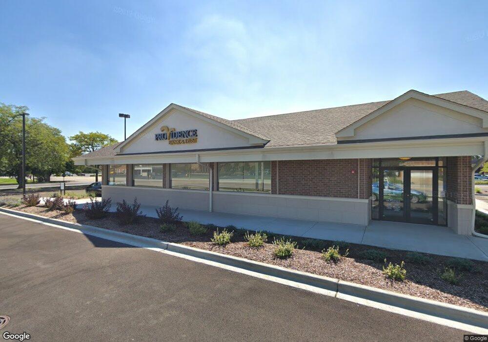
6431 W 127th St Palos Heights, IL 60463
Westgate Valley NeighborhoodEstimated Value: $1,154,622
--
Bed
--
Bath
--
Sq Ft
0.85
Acres
About This Home
This home is located at 6431 W 127th St, Palos Heights, IL 60463 and is currently estimated at $1,154,622. 6431 W 127th St is a home located in Cook County with nearby schools including Navajo Heights Elementary School, Chippewa Elementary School, and Independence Jr High School.
Ownership History
Date
Name
Owned For
Owner Type
Purchase Details
Closed on
Jun 16, 2017
Sold by
Iliopoulos Stavros and Iliopoulos Angela
Bought by
Providence Bank & Trust
Current Estimated Value
Purchase Details
Closed on
Jun 17, 2013
Sold by
Cnl Funding 2000 A Lp
Bought by
Cnl Ape Partners Lp
Purchase Details
Closed on
Jul 24, 2000
Sold by
Cnl Apf Partners Lp
Bought by
Cnl Funding 2000-A
Purchase Details
Closed on
Oct 22, 1999
Sold by
Vicorp Restaurants Inc
Bought by
Cnl Apf Partners Lp
Create a Home Valuation Report for This Property
The Home Valuation Report is an in-depth analysis detailing your home's value as well as a comparison with similar homes in the area
Home Values in the Area
Average Home Value in this Area
Purchase History
| Date | Buyer | Sale Price | Title Company |
|---|---|---|---|
| Providence Bank & Trust | $825,000 | Fidelity National Title | |
| Cnl Ape Partners Lp | -- | None Available | |
| Cnl Funding 2000-A | -- | -- | |
| Cnl Apf Partners Lp | $1,114,000 | -- |
Source: Public Records
Tax History Compared to Growth
Tax History
| Year | Tax Paid | Tax Assessment Tax Assessment Total Assessment is a certain percentage of the fair market value that is determined by local assessors to be the total taxable value of land and additions on the property. | Land | Improvement |
|---|---|---|---|---|
| 2024 | $66,580 | $219,943 | $92,825 | $127,118 |
| 2023 | $76,596 | $219,943 | $92,825 | $127,118 |
| 2022 | $76,596 | $212,115 | $60,336 | $151,779 |
| 2021 | $73,131 | $212,114 | $60,336 | $151,778 |
| 2020 | $71,744 | $212,114 | $60,336 | $151,778 |
| 2019 | $73,041 | $220,476 | $55,695 | $164,781 |
| 2018 | $25,274 | $80,579 | $55,695 | $24,884 |
| 2017 | $21,195 | $67,629 | $55,695 | $11,934 |
| 2016 | $24,642 | $75,000 | $51,053 | $23,947 |
| 2015 | $24,129 | $75,000 | $51,053 | $23,947 |
| 2014 | $38,510 | $123,291 | $51,053 | $72,238 |
| 2013 | $26,180 | $90,548 | $51,053 | $39,495 |
Source: Public Records
Map
Nearby Homes
- 6519 W 126th Place
- 12611 Natoma Ave
- 6711 W Shiawassie Dr
- 12753 S Oak Park Ave
- 6709 W Menominee Pkwy
- 6839 W 127th St
- 6052 W 128th St
- 430 Shadow Creek Dr
- 13097 Laurel Glen Ct Unit 202
- 12246 S Nagle Ave
- 13007 S Oak Park Ave
- 6052 W 129th Place
- 12718 S 69th Ct
- 12722 S 69th Ct
- 12646 S 69th Ct
- 12513 S Mcvickers Ave
- 12732 S Austin Ave
- 21 Shadow Creek Cir
- 13008 S Meade Ave
- 12256 S Arbor Trail Unit 11W
- 6519 W 127th St
- 6502 W 127th St
- 6511 W 127th St
- 103 Feldner Ct
- 104 Feldner Ct
- 6504 W 127th St
- 6446 W 127th St
- 203 Feldner Ct
- 204 Feldner Ct
- 12 W Maple Ln
- 102 Feldner Ct
- 101 Feldner Ct
- 14 W Maple Ln
- 202 Feldner Ct
- 201 Feldner Ct
- 6420 W 127th St Unit 214
- 6420 W 127th St Unit 206
- 6420 W 127th St Unit 216
- 6420 W 127th St Unit 214
- 6420 W 127th St Unit 206