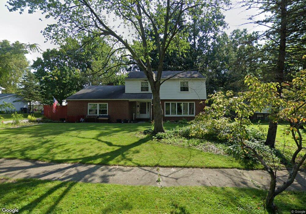
6432 Lampwick Ln Fort Wayne, IN 46835
Brookside-Parkerdale NeighborhoodEstimated Value: $231,000 - $279,000
4
Beds
3
Baths
1,956
Sq Ft
$131/Sq Ft
Est. Value
About This Home
This home is located at 6432 Lampwick Ln, Fort Wayne, IN 46835 and is currently estimated at $256,943, approximately $131 per square foot. 6432 Lampwick Ln is a home located in Allen County with nearby schools including Saint Joseph Central School, Jefferson Middle School, and Northrop High School.
Ownership History
Date
Name
Owned For
Owner Type
Purchase Details
Closed on
Nov 20, 2001
Sold by
Bohannon Mark A and Bohannon Patricia L
Bought by
Sherwood Charles F and Sherwood Kimberly A
Current Estimated Value
Home Financials for this Owner
Home Financials are based on the most recent Mortgage that was taken out on this home.
Original Mortgage
$98,800
Outstanding Balance
$38,331
Interest Rate
6.62%
Mortgage Type
FHA
Estimated Equity
$218,612
Create a Home Valuation Report for This Property
The Home Valuation Report is an in-depth analysis detailing your home's value as well as a comparison with similar homes in the area
Home Values in the Area
Average Home Value in this Area
Purchase History
| Date | Buyer | Sale Price | Title Company |
|---|---|---|---|
| Sherwood Charles F | -- | Commonwealth/Dreibelbiss Tit |
Source: Public Records
Mortgage History
| Date | Status | Borrower | Loan Amount |
|---|---|---|---|
| Open | Sherwood Charles F | $98,800 |
Source: Public Records
Tax History Compared to Growth
Tax History
| Year | Tax Paid | Tax Assessment Tax Assessment Total Assessment is a certain percentage of the fair market value that is determined by local assessors to be the total taxable value of land and additions on the property. | Land | Improvement |
|---|---|---|---|---|
| 2024 | $2,472 | $220,700 | $32,100 | $188,600 |
| 2023 | $2,472 | $218,000 | $32,100 | $185,900 |
| 2022 | $2,045 | $183,000 | $32,100 | $150,900 |
| 2021 | $1,940 | $174,500 | $19,300 | $155,200 |
| 2020 | $1,738 | $159,400 | $19,300 | $140,100 |
| 2019 | $1,573 | $145,300 | $19,300 | $126,000 |
| 2018 | $1,322 | $122,200 | $19,300 | $102,900 |
| 2017 | $1,248 | $115,700 | $19,300 | $96,400 |
| 2016 | $1,184 | $111,200 | $19,300 | $91,900 |
| 2014 | $1,090 | $106,300 | $19,300 | $87,000 |
| 2013 | $1,118 | $109,100 | $19,300 | $89,800 |
Source: Public Records
Map
Nearby Homes
- 4731 Evard Rd
- 4834 Starwood Dr
- 6914 Bradford Dr
- 6318 Sawmill Woods Dr
- 5625 Mirando Dr
- 7028 Salge Dr
- 5614 Kipling Ct
- 6219 Sawmill Woods Dr
- 6108 Crofton Dr
- 5729 Saint Joe Center Rd
- 5937 Sawmill Woods Ct
- 5948 Sawmill Woods Dr
- 5615 Graber Dr
- 6007 Cheshire Ct
- 4321 Foxknoll Cove
- 4734 Willow Brook Dr
- 5032 Rothman Rd
- 5510 Pine Oak Ct
- 5622 Sawmill Woods Blvd
- 5307 Eicher Dr
- 6510 Lampwick Ln
- 6424 Lampwick Ln
- 6520 Lampwick Ln
- 6431 Lampwick Ln
- 6423 Lampwick Ln
- 6416 Lampwick Ln
- 6511 Lampwick Ln
- 6415 Lampwick Ln
- 6521 Lampwick Ln
- 6427 Stony Brook Dr
- 6435 Stony Brook Dr
- 6505 Stony Brook Dr
- 5116 Evard Rd
- 5112 Evard Rd
- 6531 Lampwick Ln
- 6417 Stony Brook Dr
- 6515 Stony Brook Dr
- 5002 Evard Rd
- 5027 Starwood Dr
- 5101 Starwood Dr