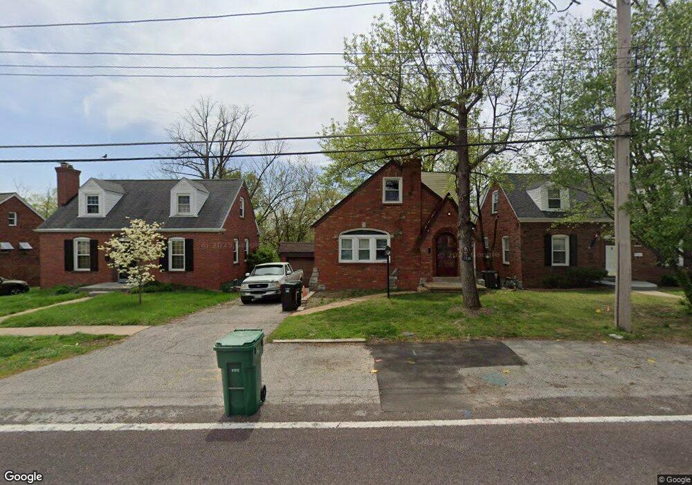
6432 Weber Rd Saint Louis, MO 63123
Estimated Value: $255,000 - $293,141
2
Beds
2
Baths
1,959
Sq Ft
$140/Sq Ft
Est. Value
About This Home
This home is located at 6432 Weber Rd, Saint Louis, MO 63123 and is currently estimated at $274,785, approximately $140 per square foot. 6432 Weber Rd is a home located in St. Louis County with nearby schools including Mesnier Primary School, Gotsch Intermediate School, and Rogers Middle School.
Ownership History
Date
Name
Owned For
Owner Type
Purchase Details
Closed on
Feb 8, 2002
Sold by
Kullmann Donald L and Kullmann Carole E
Bought by
Dickman William J and Dickman Carrie L
Current Estimated Value
Home Financials for this Owner
Home Financials are based on the most recent Mortgage that was taken out on this home.
Original Mortgage
$74,000
Interest Rate
7.05%
Purchase Details
Closed on
Jun 19, 1998
Sold by
Mayne Charlotte O Revocable Trust and John P
Bought by
Kullmann Donald L and Kullmann Carole E
Create a Home Valuation Report for This Property
The Home Valuation Report is an in-depth analysis detailing your home's value as well as a comparison with similar homes in the area
Home Values in the Area
Average Home Value in this Area
Purchase History
| Date | Buyer | Sale Price | Title Company |
|---|---|---|---|
| Dickman William J | $92,500 | -- | |
| Kullmann Donald L | -- | -- |
Source: Public Records
Mortgage History
| Date | Status | Borrower | Loan Amount |
|---|---|---|---|
| Closed | Dickman William J | $74,000 |
Source: Public Records
Tax History Compared to Growth
Tax History
| Year | Tax Paid | Tax Assessment Tax Assessment Total Assessment is a certain percentage of the fair market value that is determined by local assessors to be the total taxable value of land and additions on the property. | Land | Improvement |
|---|---|---|---|---|
| 2025 | $3,861 | $52,300 | $12,840 | $39,460 |
| 2024 | $3,861 | $47,630 | $8,570 | $39,060 |
| 2023 | $3,733 | $47,630 | $8,570 | $39,060 |
| 2022 | $3,609 | $39,450 | $8,570 | $30,880 |
| 2021 | $3,293 | $39,450 | $8,570 | $30,880 |
| 2020 | $3,024 | $33,780 | $8,550 | $25,230 |
| 2019 | $3,018 | $33,780 | $8,550 | $25,230 |
| 2018 | $2,638 | $26,070 | $5,990 | $20,080 |
| 2017 | $2,622 | $26,070 | $5,990 | $20,080 |
| 2016 | $2,527 | $26,720 | $4,450 | $22,270 |
| 2015 | $2,538 | $26,720 | $4,450 | $22,270 |
| 2014 | $2,530 | $26,510 | $4,200 | $22,310 |
Source: Public Records
Map
Nearby Homes
- 8554 Palmetto Dr
- 8740 Brenda Ave
- 6426 Judson Ave
- 8736 New Hampshire Ave
- 6236 Bixby Ave
- 8505 Ava Dr
- 6325 Sheppard Dr
- 9702 Sterling Place
- 8509 Mackenzie Rd
- 6211 Bixby Ave
- 9506 Sterling Place
- 8942 Eden Ave
- 8400 New Hampshire Ave
- 8613 Carriage Way Dr
- 6540 Lawnside Dr
- 9347 Mackenzie Rd
- 6205 MacKenzie Valley Ct
- 9409 Alpine Dr
- 9127 Coral Dr
- 8348 Vasel Dr