Estimated Value: $102,000 - $152,000
1
Bed
1
Bath
788
Sq Ft
$160/Sq Ft
Est. Value
About This Home
This home is located at 6432 Westshore Dr, Kent, OH 44240 and is currently estimated at $125,794, approximately $159 per square foot. 6432 Westshore Dr is a home located in Portage County with nearby schools including Walls Elementary School, Stanton Middle School, and Theodore Roosevelt High School.
Ownership History
Date
Name
Owned For
Owner Type
Purchase Details
Closed on
Aug 2, 2018
Sold by
Ludick Timothy D and Ludick Dixie L
Bought by
Benshoff Ludick Timothy D and Benshoff Ludick Dixie
Current Estimated Value
Purchase Details
Closed on
Sep 19, 2007
Sold by
Calanni Mary V and Mary V Calanni Inter Vivos Tru
Bought by
Ludick Timothy D
Purchase Details
Closed on
Aug 23, 2001
Sold by
Calanni Ned R and Calanni Mary V
Bought by
Calanni Mary V and Mary V Calanni Inter Vivos Tru
Purchase Details
Closed on
Mar 7, 1988
Bought by
Calanni Ned R and Calanni Mary
Create a Home Valuation Report for This Property
The Home Valuation Report is an in-depth analysis detailing your home's value as well as a comparison with similar homes in the area
Home Values in the Area
Average Home Value in this Area
Purchase History
| Date | Buyer | Sale Price | Title Company |
|---|---|---|---|
| Benshoff Ludick Timothy D | -- | None Available | |
| Ludick Timothy D | $80,000 | Approved Statewide Title | |
| Calanni Mary V | -- | -- | |
| Calanni Ned R | -- | -- |
Source: Public Records
Tax History Compared to Growth
Tax History
| Year | Tax Paid | Tax Assessment Tax Assessment Total Assessment is a certain percentage of the fair market value that is determined by local assessors to be the total taxable value of land and additions on the property. | Land | Improvement |
|---|---|---|---|---|
| 2024 | $1,858 | $37,140 | $8,400 | $28,740 |
| 2023 | $1,513 | $23,940 | $6,440 | $17,500 |
| 2022 | $1,502 | $23,940 | $6,440 | $17,500 |
| 2021 | $1,485 | $23,940 | $6,440 | $17,500 |
| 2020 | $1,496 | $21,530 | $6,440 | $15,090 |
| 2019 | $1,453 | $21,530 | $6,440 | $15,090 |
| 2018 | $1,383 | $19,850 | $6,440 | $13,410 |
| 2017 | $1,383 | $19,850 | $6,440 | $13,410 |
| 2016 | $1,358 | $19,850 | $6,440 | $13,410 |
| 2015 | $1,358 | $19,850 | $6,440 | $13,410 |
| 2014 | $1,427 | $19,850 | $6,440 | $13,410 |
| 2013 | $1,419 | $19,850 | $6,440 | $13,410 |
Source: Public Records
Map
Nearby Homes
- 2236 Brady Lake Rd
- 6270 Washington St
- 2242 Coffeen St
- 0 Brady Lake Rd Unit 5043902
- 0 6th Ave
- 1737 Holly Dr
- 2262 Willyard Ave
- 1103 Oakwood Dr
- 3027 Brady Lake Rd
- 6560 Red Brush Rd
- 3022 State Route 59 Unit B 59
- 329 N Willow St
- Lot 1 Powdermill (1 67 Ac) Rd
- 1523 Whitehall Blvd
- 1426 Loop Rd Unit 1426
- 409 W Grant St
- 2646 Dawley Rd
- 2660 Dawley Rd
- 1024E Cedar Ridge Dr
- 1024A Cedar Ridge Dr
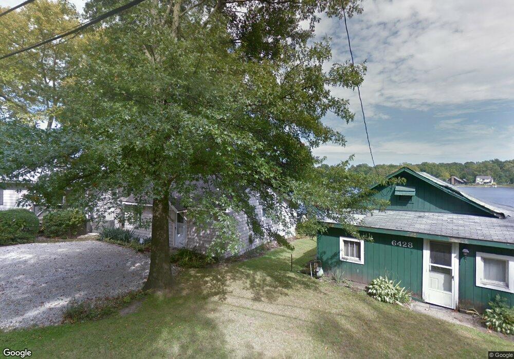
- 6428 Westshore Dr
- 6434 Westshore Dr
- 6422 Westshore Dr
- 6436 Westshore Dr
- 6421 Westshore Dr
- 6440 Westshore Dr
- 6418 Westshore Dr
- 6418 Cherry Ln
- 6439 Westshore Dr
- 6410 Westshore Dr
- 6398 Westshore Dr
- 6415 Cherry Ln
- 6411 Cherry Ln
- 6395 Westshore Dr
- 6421 Cherry Ln
- 6407 Cherry Ln
- 6403 Cherry Ln
- 2042 Stratton St
- 6399 Cherry Ln
- 6468 Westshore Dr