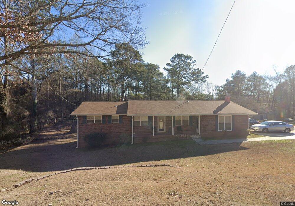
6433 Cowan Mill Rd Winston, GA 30187
Bill Arp NeighborhoodEstimated Value: $244,000 - $259,000
3
Beds
2
Baths
1,621
Sq Ft
$155/Sq Ft
Est. Value
About This Home
This home is located at 6433 Cowan Mill Rd, Winston, GA 30187 and is currently estimated at $251,809, approximately $155 per square foot. 6433 Cowan Mill Rd is a home located in Douglas County with nearby schools including Bright Star Elementary School, Mason Creek Middle School, and Alexander High School.
Ownership History
Date
Name
Owned For
Owner Type
Purchase Details
Closed on
Feb 20, 2004
Sold by
Arnold Dorothy
Bought by
Arnold Dorothy N and Arnold Patrick
Current Estimated Value
Home Financials for this Owner
Home Financials are based on the most recent Mortgage that was taken out on this home.
Original Mortgage
$88,500
Outstanding Balance
$40,929
Interest Rate
5.63%
Mortgage Type
New Conventional
Estimated Equity
$210,880
Create a Home Valuation Report for This Property
The Home Valuation Report is an in-depth analysis detailing your home's value as well as a comparison with similar homes in the area
Home Values in the Area
Average Home Value in this Area
Purchase History
| Date | Buyer | Sale Price | Title Company |
|---|---|---|---|
| Arnold Dorothy N | -- | -- |
Source: Public Records
Mortgage History
| Date | Status | Borrower | Loan Amount |
|---|---|---|---|
| Open | Arnold Dorothy N | $88,500 |
Source: Public Records
Tax History Compared to Growth
Tax History
| Year | Tax Paid | Tax Assessment Tax Assessment Total Assessment is a certain percentage of the fair market value that is determined by local assessors to be the total taxable value of land and additions on the property. | Land | Improvement |
|---|---|---|---|---|
| 2024 | $537 | $87,080 | $16,200 | $70,880 |
| 2023 | $537 | $78,400 | $16,760 | $61,640 |
| 2022 | $1,644 | $50,480 | $8,600 | $41,880 |
| 2021 | $272 | $40,640 | $8,680 | $31,960 |
| 2020 | $272 | $40,640 | $8,680 | $31,960 |
| 2019 | $213 | $39,000 | $8,680 | $30,320 |
| 2018 | $213 | $32,880 | $7,560 | $25,320 |
| 2017 | $224 | $29,880 | $7,560 | $22,320 |
| 2016 | $931 | $28,840 | $7,560 | $21,280 |
| 2015 | $765 | $28,480 | $7,640 | $20,840 |
| 2014 | $765 | $22,772 | $6,360 | $16,412 |
| 2013 | -- | $21,392 | $6,000 | $15,392 |
Source: Public Records
Map
Nearby Homes
- 6480 Executive Dr
- 6512 Executive Dr
- 3301 Connie Way
- 6556 Willow Ln
- 3422 Bright Star Rd
- 6431 Courtney Dr
- 3575 Bright Star Rd
- 6226 Pine Ln
- 3330 Oriole Dr
- 6662 Birchwood Ct
- 3127 Bright Star Rd
- 6776 Birch Rd
- 3677 Bright Star Rd
- 3756 Bright Star Rd
- 6549 Biscayne Way
- 6274 Pine Frost Dr
- 3584 Yoko Ln
- 3829 Bright Star Rd
- 3391 Executive Ln
- 6446 Cowan Mill Rd
- 6426 Cowan Mill Rd
- 6456 Cowan Mill Rd
- 6438 Executive Dr
- 6405 Cowan Mill Rd
- 6416 Cowan Mill Rd
- 6428 Executive Dr
- 3415 Executive Ln
- 6464 Cowan Mill Rd
- 6470 Executive Dr
- 6466 Cowan Mill Rd
- 3349 Robin Hood Ln
- 6406 Cowan Mill Rd
- 3350 Robin Hood Ln
- 6420 Executive Dr
- 6447 Executive Dr
- 6435 Executive Dr
- 6387 Cowan Mill Rd
- 3339 Robin Hood Ln