6433 Highway 72 E Carlton, GA 30627
Estimated Value: $485,000
Studio
--
Bath
1,947
Sq Ft
$249/Sq Ft
Est. Value
About This Home
This home is located at 6433 Highway 72 E, Carlton, GA 30627 and is currently estimated at $485,000, approximately $249 per square foot. 6433 Highway 72 E is a home located in Madison County with nearby schools including Madison County High School.
Ownership History
Date
Name
Owned For
Owner Type
Purchase Details
Closed on
Apr 18, 2016
Sold by
Bieth Thomas
Bought by
Green Victor Craig and Green Stacie Lester
Current Estimated Value
Home Financials for this Owner
Home Financials are based on the most recent Mortgage that was taken out on this home.
Original Mortgage
$220,000
Interest Rate
3.73%
Purchase Details
Closed on
Jul 8, 2011
Sold by
Bieth Thomas
Bought by
Bieth Thomas and Bieth Kyle T
Purchase Details
Closed on
Dec 11, 2009
Sold by
Burdette Morris
Bought by
Bieth Thomas
Purchase Details
Closed on
Mar 23, 1999
Sold by
Taylor W P Mrs
Bought by
Burdette Morris
Purchase Details
Closed on
Jan 1, 1966
Bought by
Taylor W P Mrs
Create a Home Valuation Report for This Property
The Home Valuation Report is an in-depth analysis detailing your home's value as well as a comparison with similar homes in the area
Purchase History
| Date | Buyer | Sale Price | Title Company |
|---|---|---|---|
| Green Victor Craig | $45,000 | -- | |
| Bieth Thomas | -- | -- | |
| Bieth Thomas | $40,000 | -- | |
| Burdette Morris | -- | -- | |
| Morris Burdette | -- | -- | |
| Taylor W P Mrs | -- | -- |
Source: Public Records
Mortgage History
| Date | Status | Borrower | Loan Amount |
|---|---|---|---|
| Closed | Green Victor Craig | $220,000 |
Source: Public Records
Tax History
| Year | Tax Paid | Tax Assessment Tax Assessment Total Assessment is a certain percentage of the fair market value that is determined by local assessors to be the total taxable value of land and additions on the property. | Land | Improvement |
|---|---|---|---|---|
| 2025 | $5,097 | $183,413 | $37,294 | $146,119 |
| 2024 | $5,175 | $181,487 | $37,294 | $144,193 |
| 2023 | $1,060 | $31,079 | $31,079 | $0 |
| 2022 | $631 | $21,366 | $21,366 | $0 |
| 2021 | $729 | $21,366 | $21,366 | $0 |
| 2020 | $626 | $18,259 | $18,259 | $0 |
| 2018 | $677 | $19,490 | $19,490 | $0 |
| 2017 | $530 | $16,482 | $16,482 | $0 |
| 2016 | $533 | $16,482 | $16,482 | $0 |
| 2015 | $495 | $16,482 | $16,482 | $0 |
| 2014 | $498 | $16,565 | $16,565 | $0 |
| 2013 | -- | $16,565 | $16,565 | $0 |
Source: Public Records
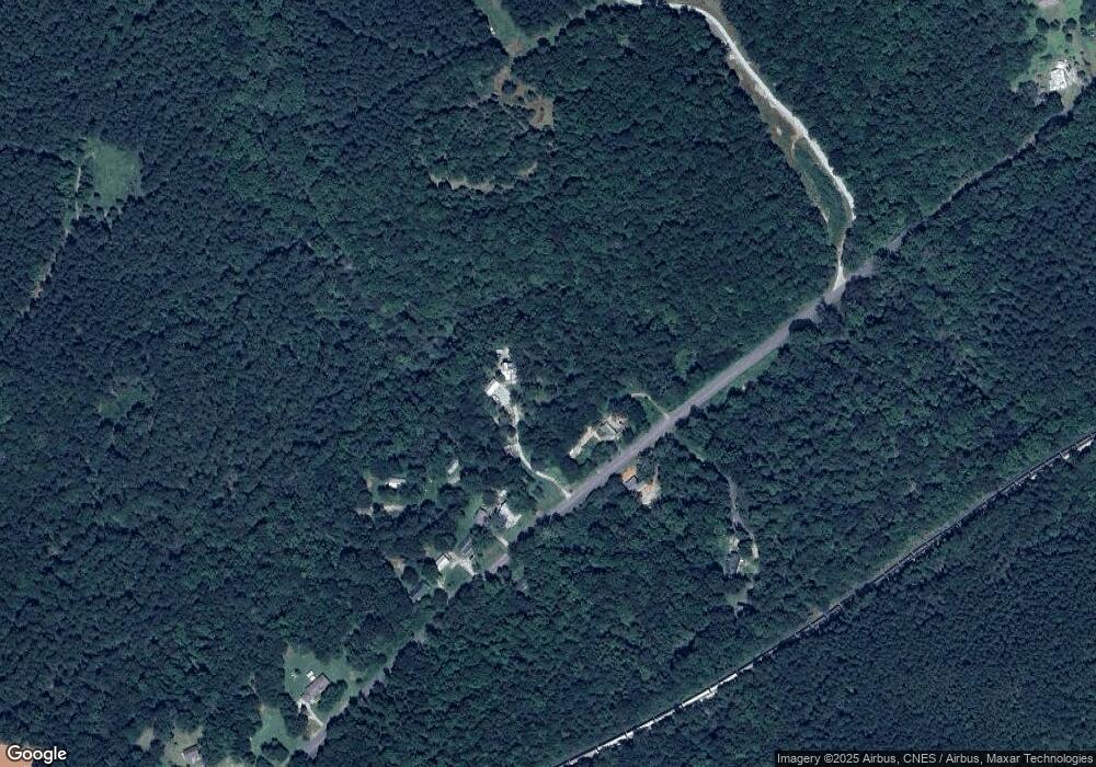
Map
Nearby Homes
- 6367 Highway 72 E
- 376 Paoli Rd
- 295 Berkeley Rd
- 217 Broad River Rd
- 275 Emma Cooper Rd
- 670 S Railroad Ave
- 737 Broad River Rd
- 88 S Railroad Ave
- 825 New Town Church Rd
- 00 River Rd
- 3614 Georgia 72
- 0 River Rd Unit 10639917
- 1163 Nickville Rd
- 2987 Georgia 72
- 2224 Osley Mill Rd
- 2405 Athens Hwy
- 0 Osley Mill Rd Unit 10671196
- 2975 Georgia 72
- 1584 Lexington Carlton Rd
- 0 Stinchcomb Rd Unit 10669701
- 6433 Hwy 72e
- 6479 Highway 72 E
- 6479 Georgia 72
- 0000 Highway 72 Hwy E
- 6479 Hwy 72e
- 6399 Highway 72 E
- 6454 Highway 72 E
- 6454 Hwy 72e
- 0004 Katie Ln
- 0003 Katie Ln
- 0002 Katie Ln
- 0001 Katie Ln
- 2.69 ac Katie Ln
- 2.06 ac Katie Ln
- 2.54 ac Katie Ln
- 2.00 ac Katie Ln
- 6476 Highway 72 E
- 6476 Georgia 72
- 6383 Highway 72 E
- 6409 Highway 72 E
Your Personal Tour Guide
Ask me questions while you tour the home.