6433 Lanes Corner Rd Spotsylvania, VA 22551
Margo NeighborhoodEstimated Value: $534,000 - $574,000
4
Beds
3
Baths
2,200
Sq Ft
$254/Sq Ft
Est. Value
About This Home
This home is located at 6433 Lanes Corner Rd, Spotsylvania, VA 22551 and is currently estimated at $559,636, approximately $254 per square foot. 6433 Lanes Corner Rd is a home located in Spotsylvania County with nearby schools including Livingston Elementary School, Post Oak Middle School, and Spotsylvania High School.
Ownership History
Date
Name
Owned For
Owner Type
Purchase Details
Closed on
Dec 12, 2022
Sold by
Howell Frederick Douglas and Howell Tina Louis
Bought by
Tydings David B and Tydings Ashley M
Current Estimated Value
Home Financials for this Owner
Home Financials are based on the most recent Mortgage that was taken out on this home.
Original Mortgage
$465,000
Outstanding Balance
$451,046
Interest Rate
6.95%
Mortgage Type
VA
Estimated Equity
$108,590
Purchase Details
Closed on
Sep 3, 1999
Sold by
Cosner Conway
Bought by
Howell Frank D
Purchase Details
Closed on
Aug 11, 1999
Sold by
Mastin D F
Bought by
Cosner Conway
Create a Home Valuation Report for This Property
The Home Valuation Report is an in-depth analysis detailing your home's value as well as a comparison with similar homes in the area
Home Values in the Area
Average Home Value in this Area
Purchase History
| Date | Buyer | Sale Price | Title Company |
|---|---|---|---|
| Tydings David B | $465,000 | Ekko Title | |
| Howell Frank D | $27,500 | -- | |
| Cosner Conway | $21,500 | -- |
Source: Public Records
Mortgage History
| Date | Status | Borrower | Loan Amount |
|---|---|---|---|
| Open | Tydings David B | $465,000 |
Source: Public Records
Tax History Compared to Growth
Tax History
| Year | Tax Paid | Tax Assessment Tax Assessment Total Assessment is a certain percentage of the fair market value that is determined by local assessors to be the total taxable value of land and additions on the property. | Land | Improvement |
|---|---|---|---|---|
| 2025 | $3,195 | $435,100 | $91,400 | $343,700 |
| 2024 | $3,195 | $435,100 | $91,400 | $343,700 |
| 2023 | $2,467 | $319,700 | $76,600 | $243,100 |
| 2022 | $2,358 | $319,700 | $76,600 | $243,100 |
| 2021 | $2,296 | $283,700 | $58,800 | $224,900 |
| 2020 | $2,296 | $283,700 | $58,800 | $224,900 |
| 2019 | $2,248 | $265,300 | $54,300 | $211,000 |
| 2018 | $2,210 | $265,300 | $54,300 | $211,000 |
| 2017 | $2,328 | $273,900 | $54,300 | $219,600 |
| 2016 | $2,328 | $273,900 | $54,300 | $219,600 |
| 2015 | -- | $273,200 | $54,300 | $218,900 |
| 2014 | -- | $273,200 | $54,300 | $218,900 |
Source: Public Records
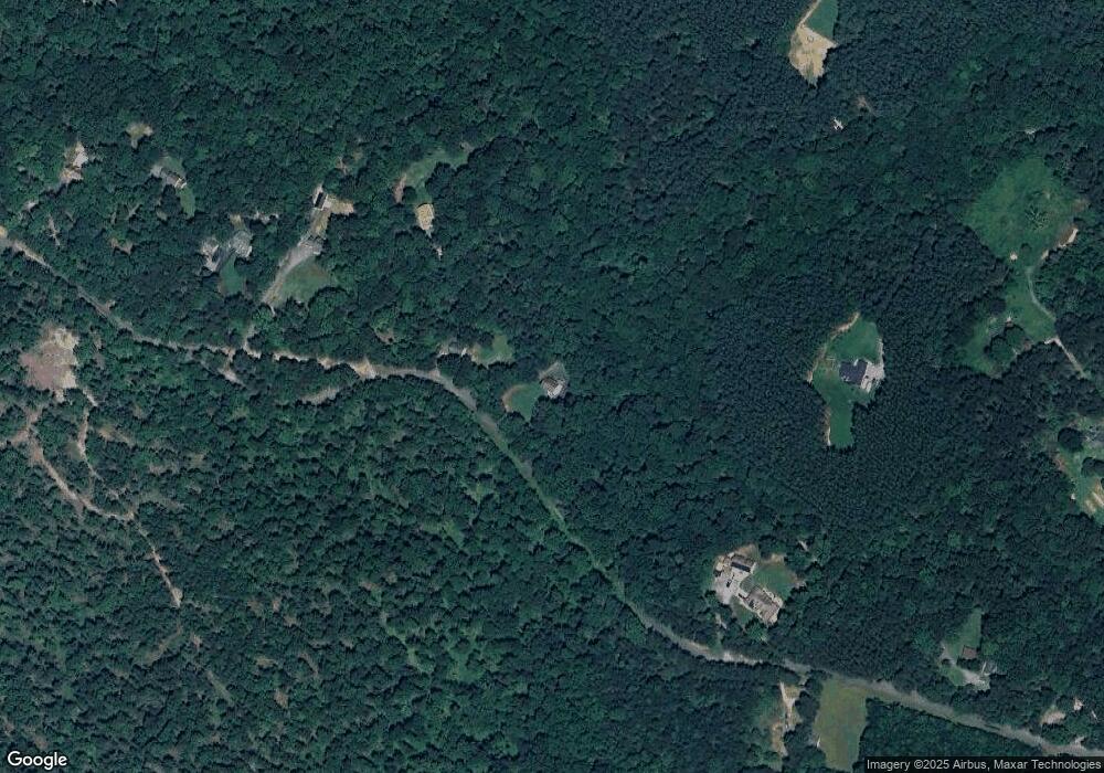
Map
Nearby Homes
- 11532 Taylor Ridge Way
- 0 S Hunters Trace Way
- 6640 Lanes Corner Rd
- 5924 Bradley Ln
- 5947 Courthouse Rd
- 5609 Courthouse Rd
- 5224 Pendleton Farm Rd
- 7609 Baileys Rd
- 11919 Belfonte Rd
- 7812 Grand Brooks Rd
- 7220 Dorothy Ln
- 6628 Courthouse Rd
- 13201 Brooke Ridge Ln
- 5334 Dickerson Rd
- 4911 Lewiston Rd
- 6726 Courthouse Rd
- 7841 Panier Rd
- 13251 Brooke Ridge Ln
- 6035 Towles Mill Rd
- 5428 Ridge Rd
- 6443 Lanes Corner Rd
- 6453 Lanes Corner Rd
- 6411 Lanes Corner Rd
- 6501 Lanes Corner Rd
- 11630 White Rock Trail
- 6511 Lanes Corner Rd
- 6410 Lanes Corner Rd
- 6521 Lanes Corner Rd
- 6500 Carneal Ln
- 6440 Carneal Ln
- 6353 Lanes Corner Rd
- 11510 Taylor Ridge Way
- 6531 Lanes Corner Rd
- 6510 Carneal Ln
- 6430 Carneal Ln
- 6420 Carneal Ln
- 11820 Deer Path Ln
- 6333 Lanes Corner Rd
- 11900 Deer Path Ln
- 11619 Landview Ln