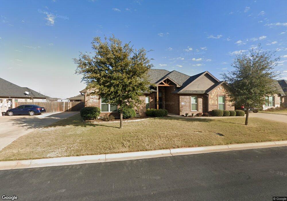
6433 Milestone Dr Abilene, TX 79606
Far Southside NeighborhoodEstimated Value: $376,000 - $401,000
4
Beds
2
Baths
2,178
Sq Ft
$179/Sq Ft
Est. Value
About This Home
This home is located at 6433 Milestone Dr, Abilene, TX 79606 and is currently estimated at $389,925, approximately $179 per square foot. 6433 Milestone Dr is a home located in Taylor County with nearby schools including Wylie West Early Childhood Center, Wylie West Elementary School, and Wylie West Intermediate School.
Ownership History
Date
Name
Owned For
Owner Type
Purchase Details
Closed on
Dec 2, 2014
Sold by
Womack Duke
Bought by
Rogers Novle R and Rogers Bonnie J
Current Estimated Value
Home Financials for this Owner
Home Financials are based on the most recent Mortgage that was taken out on this home.
Original Mortgage
$237,836
Outstanding Balance
$182,248
Interest Rate
3.93%
Mortgage Type
VA
Estimated Equity
$207,677
Create a Home Valuation Report for This Property
The Home Valuation Report is an in-depth analysis detailing your home's value as well as a comparison with similar homes in the area
Home Values in the Area
Average Home Value in this Area
Purchase History
| Date | Buyer | Sale Price | Title Company |
|---|---|---|---|
| Rogers Novle R | -- | None Available |
Source: Public Records
Mortgage History
| Date | Status | Borrower | Loan Amount |
|---|---|---|---|
| Open | Rogers Novle R | $237,836 |
Source: Public Records
Tax History
| Year | Tax Paid | Tax Assessment Tax Assessment Total Assessment is a certain percentage of the fair market value that is determined by local assessors to be the total taxable value of land and additions on the property. | Land | Improvement |
|---|---|---|---|---|
| 2025 | $2,997 | $391,317 | $27,974 | $363,343 |
| 2023 | $2,997 | $359,825 | $0 | $0 |
| 2022 | $7,719 | $327,114 | $0 | $0 |
| 2021 | $7,660 | $297,376 | $25,822 | $271,554 |
| 2020 | $7,611 | $290,627 | $25,822 | $264,805 |
| 2019 | $7,738 | $287,633 | $25,822 | $261,811 |
| 2018 | $6,909 | $275,993 | $25,822 | $250,171 |
| 2017 | $6,614 | $274,262 | $24,208 | $250,054 |
| 2016 | $6,569 | $272,419 | $26,898 | $245,521 |
| 2015 | $302 | $269,686 | $26,898 | $242,788 |
| 2014 | $302 | $13,449 | $0 | $0 |
Source: Public Records
Map
Nearby Homes
- 6510 Stadium Dr
- 4618 Seals Ln
- 6601 Longbranch Way
- 6602 Longbranch Way
- 4526 Crosley Ln
- 6426 Todd Run
- 5118 Ryan Cir N
- 4501 Velta Ln
- 6890 Buffalo Gap Rd
- 6600 Buffalo Gap Rd
- 4117 Antilley Rd
- 4118 Antilley Rd
- 6825 Desert Willow Trail
- 7234 Buffalo Gap Rd
- 6781 Hillside Ct
- 4700 Meadow Dr
- 6618 Beals Creek Dr
- 6601 Windmill Grass Ln
- 6810 Beals Creek Dr
- 6430 Windmill Grass Ln
- 6425 Milestone Dr
- 6501 Milestone Dr
- 4818 Dynasty Cove
- 6509 Milestone Dr
- 6434 Milestone Dr
- 6502 Milestone Dr
- 6426 Milestone Dr
- 6426 Milestone Dr
- 6325 Milestone Dr
- 4809 Dynasty Cove
- 6418 Milestone Dr
- 6317 Milestone Dr
- 6510 Milestone Dr
- 6410 Milestone Dr
- 6517 Milestone Dr
- 6309 Milestone Dr
- 4802 Dynasty Cove
- 6309 Honor Roll Ct
- 4810 Prodigy Cove
- 6317 Honor Roll Ct
Your Personal Tour Guide
Ask me questions while you tour the home.