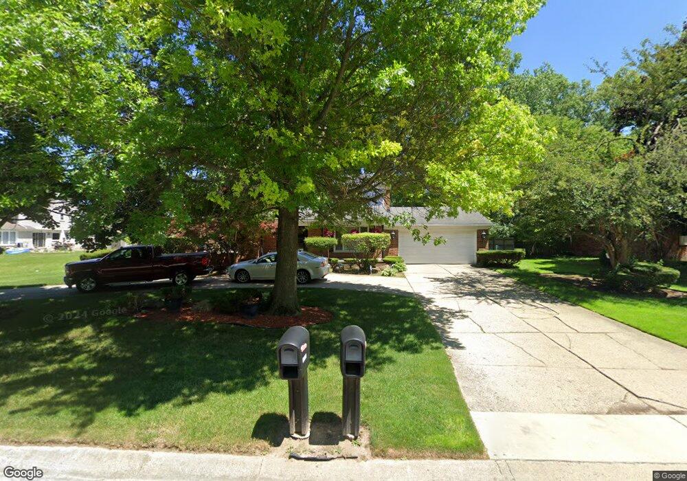
6433 Rutledge Park Dr West Bloomfield, MI 48322
Estimated Value: $422,000 - $506,000
5
Beds
3
Baths
2,483
Sq Ft
$180/Sq Ft
Est. Value
About This Home
This home is located at 6433 Rutledge Park Dr, West Bloomfield, MI 48322 and is currently estimated at $447,772, approximately $180 per square foot. 6433 Rutledge Park Dr is a home located in Oakland County with nearby schools including Sheiko Elementary School, West Bloomfield Middle School, and Bloomfield Maples Montessori.
Ownership History
Date
Name
Owned For
Owner Type
Purchase Details
Closed on
Jan 31, 2002
Sold by
Cook James G
Bought by
Bowie Wallace
Current Estimated Value
Home Financials for this Owner
Home Financials are based on the most recent Mortgage that was taken out on this home.
Original Mortgage
$207,000
Outstanding Balance
$85,895
Interest Rate
7.11%
Estimated Equity
$361,878
Purchase Details
Closed on
Sep 11, 1998
Sold by
Kreitman Kevan R
Bought by
Cook James Gene
Create a Home Valuation Report for This Property
The Home Valuation Report is an in-depth analysis detailing your home's value as well as a comparison with similar homes in the area
Home Values in the Area
Average Home Value in this Area
Purchase History
| Date | Buyer | Sale Price | Title Company |
|---|---|---|---|
| Bowie Wallace | $259,000 | -- | |
| Cook James Gene | $225,000 | -- |
Source: Public Records
Mortgage History
| Date | Status | Borrower | Loan Amount |
|---|---|---|---|
| Open | Bowie Wallace | $207,000 |
Source: Public Records
Tax History Compared to Growth
Tax History
| Year | Tax Paid | Tax Assessment Tax Assessment Total Assessment is a certain percentage of the fair market value that is determined by local assessors to be the total taxable value of land and additions on the property. | Land | Improvement |
|---|---|---|---|---|
| 2024 | $2,610 | $172,890 | $0 | $0 |
| 2022 | $2,499 | $153,990 | $32,000 | $121,990 |
| 2021 | $3,797 | $151,530 | $0 | $0 |
| 2020 | $2,449 | $146,330 | $32,000 | $114,330 |
| 2018 | $3,661 | $134,660 | $27,800 | $106,860 |
| 2015 | -- | $104,380 | $0 | $0 |
| 2014 | -- | $96,340 | $0 | $0 |
| 2011 | -- | $88,060 | $0 | $0 |
Source: Public Records
Map
Nearby Homes
- 6564 Alderley Way
- 6545 Post Oak Dr
- 3035 Parkland Dr
- 6624 Mellow Wood Ln
- 5815 Bloomfield Glens Rd
- 6769 Heather Heath
- 7023 Wild Ridge Ln
- 5312 Cambourne Place
- 5622 Powder Horn Dr
- 7209 Stonebrook Rd
- 3104 Spring St
- 5780 Swan Lake Ct
- 6151 Orchard Lake Rd Unit 103
- 6843 Leslee Crest Dr
- 7251 N Briarcliff Knoll Dr
- 5881 Naneva Ct
- 6145 Orchard Lake Rd Unit 204
- 6109 Orchard Lake Rd Unit 101
- 7027 Beverly Crest Dr
- 3865 Stonecrest Rd
- 6449 Rutledge Park Dr
- 6240 Wynford Dr
- 6258 Wynford Dr
- 6440 Rutledge Park Dr
- 6465 Rutledge Park Dr
- 6426 Rutledge Park Dr
- 6276 Wynford Dr
- 6216 Wynford Dr
- 5300 W Maple Rd
- 6481 Rutledge Park Dr
- 3174 Rutledge Park Ct
- 6294 Wynford Dr
- 6255 Wynford Dr
- 6237 Wynford Dr
- 3157 Rutledge Park Ct
- 6275 Wynford Dr
- 6198 Wynford Dr
- 6215 Wynford Dr
- 3182 Rutledge Park Ct
- 3169 Rutledge Park Ct