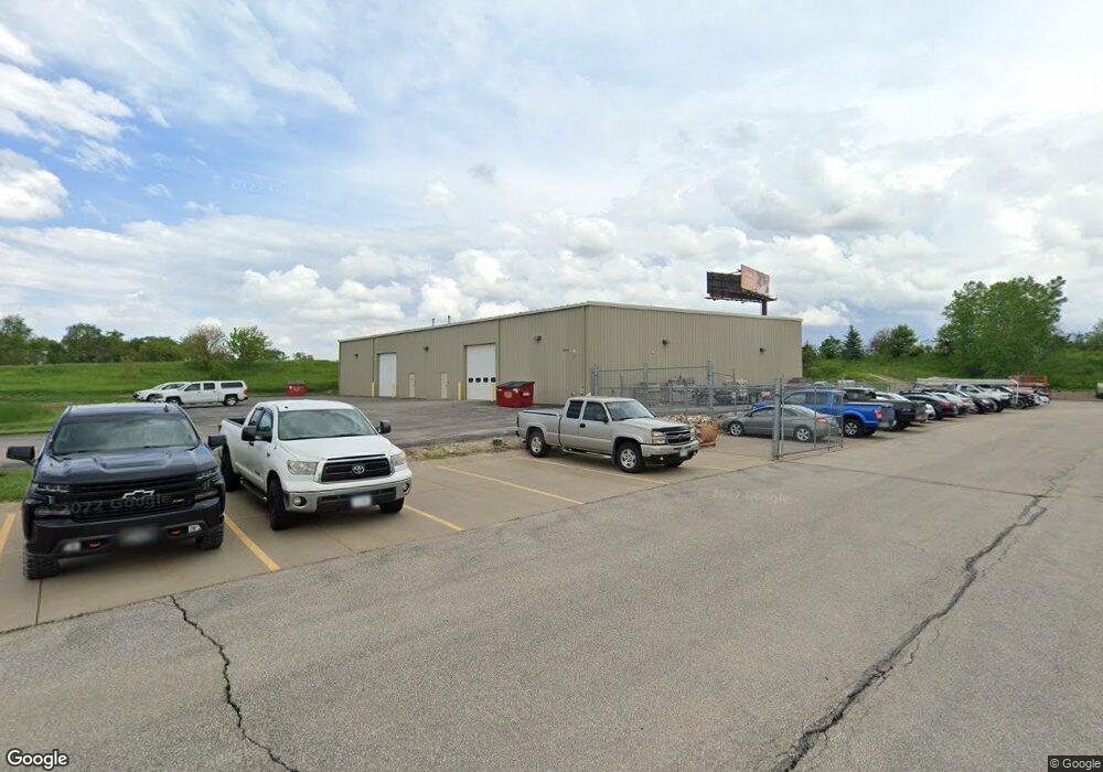
6435 4th St SW Cedar Rapids, IA 52404
Estimated Value: $984,564
Studio
--
Bath
12,000
Sq Ft
$82/Sq Ft
Est. Value
About This Home
This home is located at 6435 4th St SW, Cedar Rapids, IA 52404 and is currently estimated at $984,564, approximately $82 per square foot. 6435 4th St SW is a home located in Linn County with nearby schools including Prairie Crest Elementary School, Prairie Heights Elementary School, and Prairie View Elementary School.
Ownership History
Date
Name
Owned For
Owner Type
Purchase Details
Closed on
Dec 14, 2023
Sold by
Ko Properties Llc
Bought by
State Of Iowa
Current Estimated Value
Purchase Details
Closed on
Dec 1, 2022
Sold by
1380 Flex-Space Llc
Bought by
Ko Properties Llc
Home Financials for this Owner
Home Financials are based on the most recent Mortgage that was taken out on this home.
Original Mortgage
$850,000
Interest Rate
6.49%
Purchase Details
Closed on
Oct 20, 2006
Sold by
Bwc Lc
Bought by
I-380 Flex Space Llc
Create a Home Valuation Report for This Property
The Home Valuation Report is an in-depth analysis detailing your home's value as well as a comparison with similar homes in the area
Purchase History
We collect this data history from publicly available records. To have your information removed, we recommend requesting removal directly through your county’s website.
| Date | Buyer | Sale Price | Title Company |
|---|---|---|---|
| State Of Iowa | $1,800 | None Listed On Document | |
| State Of Iowa | $1,800 | None Listed On Document | |
| Ko Properties Llc | $850,000 | -- | |
| I-380 Flex Space Llc | $154,000 | None Available |
Source: Public Records
Mortgage History
We collect this data history from publicly available records. To have your information removed, we recommend requesting removal directly through your county’s website.
| Date | Status | Borrower | Loan Amount |
|---|---|---|---|
| Previous Owner | Ko Properties Llc | $850,000 |
Source: Public Records
Tax History
| Year | Tax Paid | Tax Assessment Tax Assessment Total Assessment is a certain percentage of the fair market value that is determined by local assessors to be the total taxable value of land and additions on the property. | Land | Improvement |
|---|---|---|---|---|
| 2025 | $18,450 | $620,100 | $106,800 | $513,300 |
| 2024 | $16,768 | $598,600 | $106,800 | $491,800 |
| 2023 | $16,768 | $574,100 | $106,900 | $467,200 |
| 2022 | $15,754 | $518,500 | $106,900 | $411,600 |
| 2021 | $15,596 | $930,100 | $106,900 | $823,200 |
| 2020 | $15,596 | $940,600 | $126,900 | $813,700 |
| 2019 | $16,244 | $550,600 | $126,900 | $423,700 |
| 2018 | $16,176 | $550,600 | $126,900 | $423,700 |
| 2017 | $13,584 | $479,800 | $126,900 | $352,900 |
| 2016 | $16,797 | $479,800 | $126,900 | $352,900 |
| 2015 | $16,555 | $476,404 | $126,850 | $349,554 |
| 2014 | $14,122 | $560,480 | $126,850 | $433,630 |
| 2013 | $19,110 | $560,480 | $126,850 | $433,630 |
Source: Public Records
Map
Nearby Homes
- Lot B 66th Ave SW
- 5750 J St SW
- 453 68th Ave SW
- 125 Florida Ave SW
- 6614 Tennessee Dr SW
- 0 6th St & 76th Ave SW Unit 202505956
- 6629 Preston Terrace Ct SW Unit 2
- 74 Miller Ave SW Unit 8
- 7114 Harlan Eddy Dr SW
- 4427 J St SW
- 8417 Brighton Ct SW
- 160 Bethany Loop SW Unit A
- 160 Bethany Loop SW Unit C
- 160 Bethany Loop SW Unit B
- 163 Bethany Loop SW Unit B
- 163 Bethany Loop SW Unit A
- 8705 Lewis Dr SW Unit A
- 8704 Eddie Dr SW Unit C
- 8704 Eddie Dr SW Unit A
- 8705 Lewis Dr SW Unit B
- 6435 4th St SW Unit A
- 6545 4th St SW
- 6355 6th St SW
- 6355 6th St SW
- 6805 4th St SW Unit 101
- 6805 4th St SW Unit 104
- 6415 6th St SW
- 4406 6th St SW Unit Lots 1&2
- 4406 6th St SW Unit Lot 2
- 4406 6th St SW Unit Lot 4
- 4406 6th St SW Unit Lot 3
- 4406 6th St SW Unit Lot 1
- 6540 6th St SW
- 6425 7th Street Ct SW Unit D
- 6425 7th Street Ct SW Unit A-C
- 6425 7th Street Ct SW Unit A-D
- 6425 7th Street Ct SW
- 6425 7th Street Ct SW Unit F
- 0 6th St SW Unit 1406974
- 0 6th St SW Unit 1407912
Your Personal Tour Guide
Ask me questions while you tour the home.