6435 Scarff Rd New Carlisle, OH 45344
Estimated Value: $527,000 - $645,704
3
Beds
3
Baths
3,677
Sq Ft
$164/Sq Ft
Est. Value
About This Home
This home is located at 6435 Scarff Rd, New Carlisle, OH 45344 and is currently estimated at $604,676, approximately $164 per square foot. 6435 Scarff Rd is a home located in Miami County with nearby schools including Bethel Elementary School, Bethel Middle School, and Bethel High School.
Ownership History
Date
Name
Owned For
Owner Type
Purchase Details
Closed on
Aug 5, 2020
Sold by
Turner Polly A
Bought by
Hensley Kasey F and Hensley Brandon N
Current Estimated Value
Home Financials for this Owner
Home Financials are based on the most recent Mortgage that was taken out on this home.
Interest Rate
2.99%
Purchase Details
Closed on
Jan 1, 1990
Bought by
Turner James G
Create a Home Valuation Report for This Property
The Home Valuation Report is an in-depth analysis detailing your home's value as well as a comparison with similar homes in the area
Home Values in the Area
Average Home Value in this Area
Purchase History
| Date | Buyer | Sale Price | Title Company |
|---|---|---|---|
| Hensley Kasey F | $439,900 | -- | |
| Turner James G | -- | -- |
Source: Public Records
Mortgage History
| Date | Status | Borrower | Loan Amount |
|---|---|---|---|
| Closed | Hensley Kasey F | -- |
Source: Public Records
Tax History Compared to Growth
Tax History
| Year | Tax Paid | Tax Assessment Tax Assessment Total Assessment is a certain percentage of the fair market value that is determined by local assessors to be the total taxable value of land and additions on the property. | Land | Improvement |
|---|---|---|---|---|
| 2024 | $5,827 | $122,040 | $19,590 | $102,450 |
| 2023 | $5,827 | $122,040 | $19,590 | $102,450 |
| 2022 | $5,762 | $122,040 | $19,590 | $102,450 |
| 2021 | $5,171 | $150,540 | $65,170 | $85,370 |
| 2020 | $7,199 | $150,540 | $65,170 | $85,370 |
| 2019 | $7,282 | $150,540 | $65,170 | $85,370 |
| 2018 | $5,824 | $115,010 | $40,950 | $74,060 |
| 2017 | $5,831 | $115,010 | $40,950 | $74,060 |
| 2016 | $5,256 | $115,010 | $40,950 | $74,060 |
| 2015 | $5,215 | $110,610 | $39,380 | $71,230 |
| 2014 | $5,215 | $110,610 | $39,380 | $71,230 |
| 2013 | $4,428 | $110,610 | $39,380 | $71,230 |
Source: Public Records
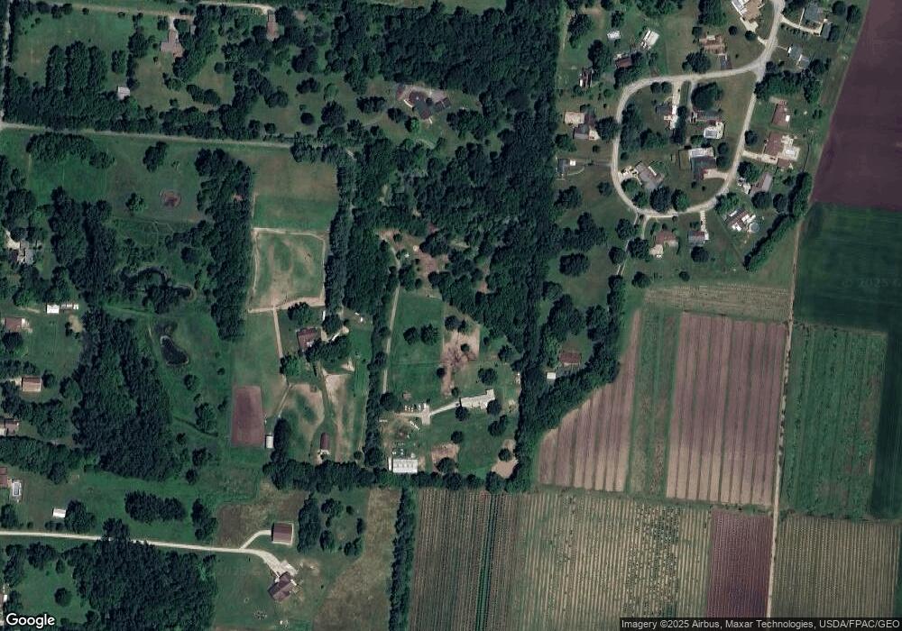
Map
Nearby Homes
- 210 Zimmerman St
- 211 N Clay St
- 805 Brookfield Dr
- 1234 Wind Rock Dr
- 6764 Bethelville Dr
- 315 N Main St
- 315 Fenwick Dr
- 907 White Pine St
- 11501 Zeller Dr
- 0 N Dayton-Lakeview Rd Unit 944532
- 0 N Dayton-Lakeview Rd Unit 1041631
- 202 Fenwick Dr
- 5344 S Dayton Brandt Rd
- 906 N Scott St
- 1204 N Scott St
- 7715 E New Carlisle Rd
- 10850 Musselman Rd
- 203 Monroe Way
- 1212 N Scott St
- 1206 N Scott St
- 6435 Scarff Rd
- 1047 Steven Circle Dr
- 6433 Scarff Rd
- 1053 Steven Circle Dr
- 1039 Steven Circle Dr
- 6675 Scarff Rd
- 1059 Steven Circle Dr
- 1042 Steven Circle Dr
- 1031 Steven Circle Dr
- 6425 Scarff Rd
- 6425 Scarff Rd
- 1061 Steven Circle Dr
- 1062 Steven Circle Dr
- 1015 Steven Circle Dr
- 1028 Steven Circle Dr
- 1068 Steven Circle Dr
- 1020 Steven Circle Dr
- 1005 Steven Circle Dr
- 1074 Steven Circle Dr
- 1082 Steven Circle Dr