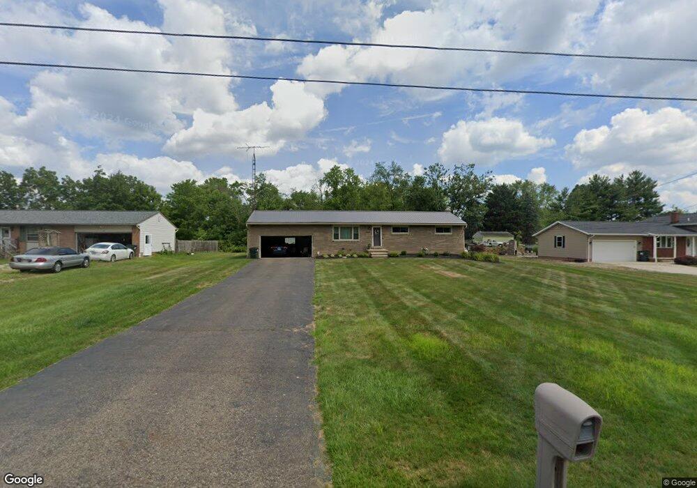
6435 Westmore St Louisville, OH 44641
Estimated Value: $183,345 - $220,000
3
Beds
1
Bath
1,128
Sq Ft
$182/Sq Ft
Est. Value
About This Home
This home is located at 6435 Westmore St, Louisville, OH 44641 and is currently estimated at $205,086, approximately $181 per square foot. 6435 Westmore St is a home located in Stark County with nearby schools including Louisville High School, East Branch Preparatory Academy Wright Preparatory Academy, and Canton Harbor High School.
Ownership History
Date
Name
Owned For
Owner Type
Purchase Details
Closed on
May 5, 2004
Sold by
Kunkel Vicki L
Bought by
Kunkel Vicki L
Current Estimated Value
Home Financials for this Owner
Home Financials are based on the most recent Mortgage that was taken out on this home.
Original Mortgage
$27,750
Interest Rate
5.91%
Mortgage Type
Stand Alone Refi Refinance Of Original Loan
Purchase Details
Closed on
May 11, 1994
Create a Home Valuation Report for This Property
The Home Valuation Report is an in-depth analysis detailing your home's value as well as a comparison with similar homes in the area
Home Values in the Area
Average Home Value in this Area
Purchase History
| Date | Buyer | Sale Price | Title Company |
|---|---|---|---|
| Kunkel Vicki L | -- | Title & Escrow Company | |
| -- | -- | -- |
Source: Public Records
Mortgage History
| Date | Status | Borrower | Loan Amount |
|---|---|---|---|
| Closed | Kunkel Vicki L | $27,750 |
Source: Public Records
Tax History Compared to Growth
Tax History
| Year | Tax Paid | Tax Assessment Tax Assessment Total Assessment is a certain percentage of the fair market value that is determined by local assessors to be the total taxable value of land and additions on the property. | Land | Improvement |
|---|---|---|---|---|
| 2025 | -- | $47,460 | $16,240 | $31,220 |
| 2024 | -- | $47,460 | $16,240 | $31,220 |
| 2023 | $2,134 | $43,890 | $13,160 | $30,730 |
| 2022 | $2,033 | $41,690 | $13,160 | $28,530 |
| 2021 | $2,039 | $41,690 | $13,160 | $28,530 |
| 2020 | $2,040 | $37,810 | $11,870 | $25,940 |
| 2019 | $2,047 | $37,810 | $11,870 | $25,940 |
| 2018 | $2,042 | $37,810 | $11,870 | $25,940 |
| 2017 | $1,883 | $32,800 | $8,890 | $23,910 |
| 2016 | $1,847 | $32,800 | $8,890 | $23,910 |
| 2015 | $1,851 | $32,800 | $8,890 | $23,910 |
| 2014 | $1,858 | $30,490 | $8,260 | $22,230 |
| 2013 | $933 | $30,490 | $8,260 | $22,230 |
Source: Public Records
Map
Nearby Homes
- 6083 Apple St
- 248 Menegay Rd
- 1149 Sturbridge Dr
- 1175 Sturbridge Dr
- 201 Indiana Ave
- 414 Honeycrisp Dr NE
- 1561 Noel St
- 0 Brookridge Ave
- 300 Kennedy St
- 4060 Hambleton Ave NE
- 0 Glenbar St
- 3580 Brookridge Ave Lot 15
- Forsythia Plan at Orchard Park - Aspire Single Family Collection
- Goldenrod Plan at Orchard Park - Aspire Single Family Collection
- Water Lily Plan at Orchard Park - Aspire Single Family Collection
- Oleander Plan at Orchard Park - Aspire Single Family Collection
- Beckfield Plan at Orchard Park - Aspire Townhome Collection
- 524 Glenbar St
- 2975 Mcintosh Dr NE
- 2981 Mcintosh Dr NE
- 6455 Westmore St
- 6415 Westmore St
- 6475 Westmore St
- 6391 Westmore St
- 4933 California Ave
- 6450 Westmore St
- 6410 Westmore St
- 6375 Westmore St
- 6470 Westmore St
- 6390 Westmore St
- 6355 Westmore St
- 6374 Westmore St
- 4925 California Ave
- 4911 California Ave
- 4875 California Ave
- 4855 California Ave
- 6354 Westmore St
- 6337 Westmore St
- 4991 California Ave
- 4797 California Ave