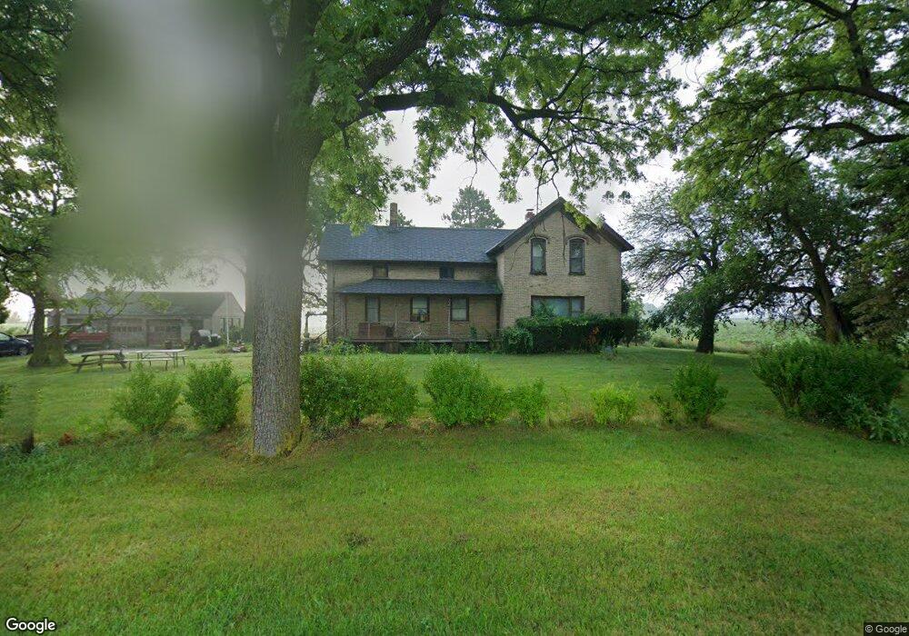
6437 8 Mile Rd Freeland, MI 48623
Estimated Value: $81,128 - $512,000
Studio
1
Bath
1,733
Sq Ft
$146/Sq Ft
Est. Value
About This Home
This home is located at 6437 8 Mile Rd, Freeland, MI 48623 and is currently estimated at $252,532, approximately $145 per square foot. 6437 8 Mile Rd is a home located in Bay County with nearby schools including Mackensen Elementary School, Western Middle School, and Bay City Western High School.
Ownership History
Date
Name
Owned For
Owner Type
Purchase Details
Closed on
Jan 24, 2003
Sold by
Porter Donna G and Benson Audrey D
Bought by
Smith Phillip A and Smith Kristine K
Current Estimated Value
Home Financials for this Owner
Home Financials are based on the most recent Mortgage that was taken out on this home.
Original Mortgage
$64,000
Outstanding Balance
$27,649
Interest Rate
6.07%
Mortgage Type
Purchase Money Mortgage
Estimated Equity
$224,883
Create a Home Valuation Report for This Property
The Home Valuation Report is an in-depth analysis detailing your home's value as well as a comparison with similar homes in the area
Home Values in the Area
Average Home Value in this Area
Purchase History
| Date | Buyer | Sale Price | Title Company |
|---|---|---|---|
| Smith Phillip A | $80,000 | -- | |
| Smith Phillip A | $80,000 | -- |
Source: Public Records
Mortgage History
| Date | Status | Borrower | Loan Amount |
|---|---|---|---|
| Open | Smith Phillip A | $64,000 |
Source: Public Records
Tax History
| Year | Tax Paid | Tax Assessment Tax Assessment Total Assessment is a certain percentage of the fair market value that is determined by local assessors to be the total taxable value of land and additions on the property. | Land | Improvement |
|---|---|---|---|---|
| 2025 | $485 | $27,700 | $0 | $0 |
| 2024 | $471 | $24,350 | $0 | $0 |
| 2023 | $448 | $23,800 | $0 | $0 |
| 2022 | $882 | $22,300 | $0 | $0 |
| 2021 | $818 | $19,700 | $19,700 | $0 |
| 2020 | $789 | $19,900 | $19,900 | $0 |
| 2019 | $739 | $19,050 | $0 | $0 |
| 2018 | $719 | $18,250 | $0 | $0 |
| 2017 | $684 | $17,600 | $0 | $0 |
| 2016 | $695 | $18,900 | $0 | $18,900 |
| 2015 | -- | $33,900 | $0 | $33,900 |
| 2014 | -- | $32,400 | $0 | $32,400 |
Source: Public Records
Map
Nearby Homes
- 6385 Hospital Rd
- 9924 Garner Ln
- 0 S Auburn Rd
- 428 Willow Bend Unit 9
- 6790 Hospital Rd
- 512 Willow Bend
- 10224 Sarle Rd
- 267 W Midland Rd
- 312 Church St
- 5369 S Mackinaw Rd
- 10585 Prairie View Ct
- 203 Park Ave
- 8643 Ashland Place
- 10360 Laurel Woods Place
- 117 Francis St
- 201 Grant St
- 8550 Gilmour Ln
- 8674 Oakhill Dr
- 800 W Midland Rd
- 8441 Cottonwood Dr
- 6346 8 Mile Rd
- 6346 8 Mile Rd
- 5978 S 8 Mile Rd
- 7014 Buck Rd
- 0 S 8 Mile Rd
- 6535 8 Mile Rd
- 6524 Hospital Rd
- 6346 Hospital Rd
- 6331 8 Mile Rd
- 6551 8 Mile Rd
- 6606 Hospital Rd
- 6265 8 Mile Rd
- 200 Delta Rd
- 6375 Hospital Rd
- 7328 Buck Rd
- 6635 8 Mile Rd
- 224 Delta Rd
- 6244 8 Mile Rd
- 245 Delta Rd
- 10000 Hospital Rd
Your Personal Tour Guide
Ask me questions while you tour the home.