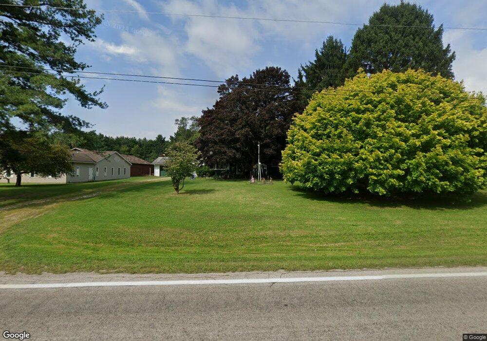
6437 State Route 7 Andover, OH 44003
Estimated Value: $138,000 - $171,000
3
Beds
1
Bath
1,144
Sq Ft
$138/Sq Ft
Est. Value
About This Home
This home is located at 6437 State Route 7, Andover, OH 44003 and is currently estimated at $157,354, approximately $137 per square foot. 6437 State Route 7 is a home located in Ashtabula County with nearby schools including Pymatuning Valley Primary School, Pymatuning Valley Middle School, and Pymatuning Valley High School.
Ownership History
Date
Name
Owned For
Owner Type
Purchase Details
Closed on
Nov 9, 2017
Sold by
Baker Scott D and Baker Todd L
Bought by
Baker Lisa K
Current Estimated Value
Purchase Details
Closed on
Mar 15, 2006
Sold by
Waid Walter W and Waid Sarah L
Bought by
Smith Patrick M and Smith Patricia O
Purchase Details
Closed on
Mar 13, 1998
Sold by
Keller Harold E
Bought by
Marclare
Create a Home Valuation Report for This Property
The Home Valuation Report is an in-depth analysis detailing your home's value as well as a comparison with similar homes in the area
Home Values in the Area
Average Home Value in this Area
Purchase History
| Date | Buyer | Sale Price | Title Company |
|---|---|---|---|
| Baker Lisa K | $30,000 | None Available | |
| Smith Patrick M | $180,000 | Title Xperts Agency Inc | |
| Marclare | $2,500 | -- |
Source: Public Records
Tax History Compared to Growth
Tax History
| Year | Tax Paid | Tax Assessment Tax Assessment Total Assessment is a certain percentage of the fair market value that is determined by local assessors to be the total taxable value of land and additions on the property. | Land | Improvement |
|---|---|---|---|---|
| 2024 | $2,389 | $40,260 | $4,870 | $35,390 |
| 2023 | $1,296 | $40,260 | $4,870 | $35,390 |
| 2022 | $1,259 | $29,020 | $3,750 | $25,270 |
| 2021 | $1,315 | $29,020 | $3,750 | $25,270 |
| 2020 | $1,316 | $29,020 | $3,750 | $25,270 |
| 2019 | $1,054 | $22,300 | $3,780 | $18,520 |
| 2018 | $1,021 | $22,300 | $3,780 | $18,520 |
| 2017 | $308 | $22,300 | $3,780 | $18,520 |
| 2016 | $603 | $21,840 | $3,710 | $18,130 |
| 2015 | $605 | $21,840 | $3,710 | $18,130 |
| 2014 | $572 | $21,840 | $3,710 | $18,130 |
| 2013 | $799 | $26,320 | $2,590 | $23,730 |
Source: Public Records
Map
Nearby Homes
- 6738 State Route 7
- 0 Gibbs Rd
- 284 S Main St
- 6009 Bole Dr
- 6968 Morningview Dr
- 0 Chestnut St Unit 5136238
- 6677 Morningview Dr
- 5427 Slater Rd
- 5422 Slater Rd
- 143 Hickory St
- 124 Hickory St
- 225 Cleveland Ave
- 5372 Slater Rd
- 0 Gates St
- 0 Orchard St Unit LotWP001 23829432
- 0 Orchard St Unit 5130346
- 185 Maple Ave
- 0 Maple Ave
- 6970 Williams Ave
- 4974 N Main St
- 6430 State Route 7
- 6493 State Route 7
- 5892 Marvin Rd
- 6523 State Route 7
- 6522 State Route 7
- 5893 Marvin Rd
- 6563 State Route 7
- 5784 Marvin Rd
- 6340 State Route 7
- 6597 State Route 7
- 5831 Marvin Rd
- 6592 State Route 7
- 6260 State Route 7
- 6615 State Route 7
- 6257 State Route 7
- 6257 Ohio 7
- 6641 State Route 7
- 5719 Marvin Rd
- 6658 State Route 7
- 6203 State Route 7