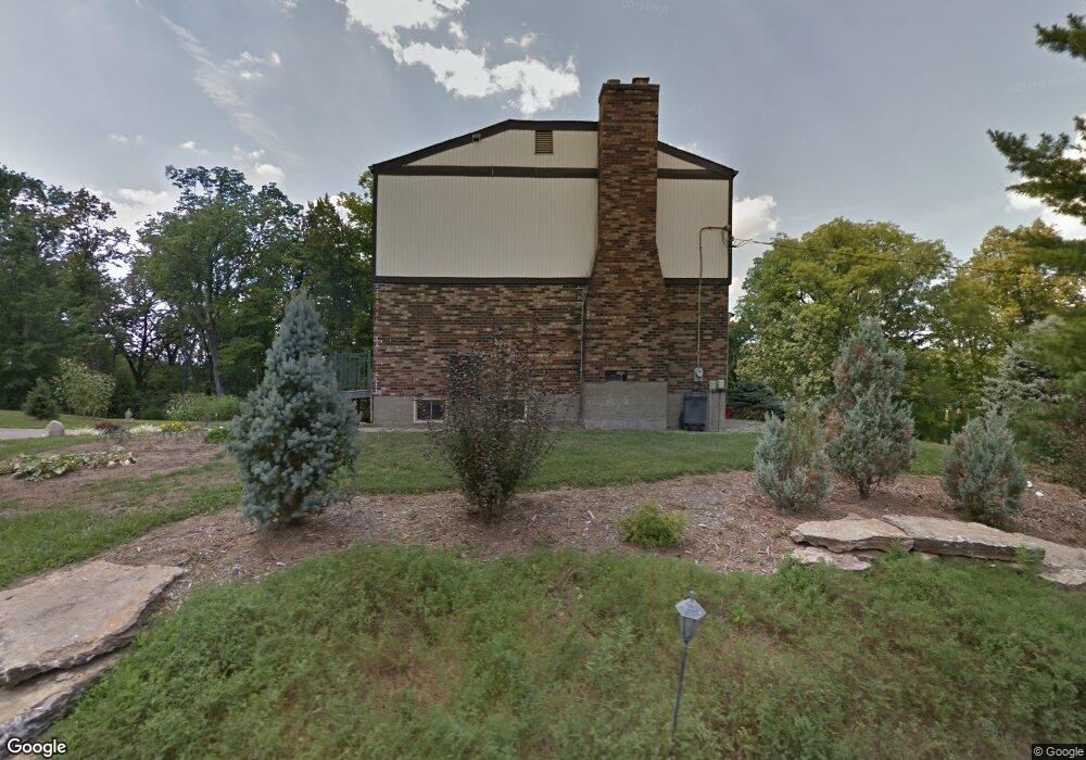
6437 W Fork Rd Cincinnati, OH 45247
Estimated Value: $317,017 - $423,000
4
Beds
3
Baths
2,316
Sq Ft
$161/Sq Ft
Est. Value
About This Home
This home is located at 6437 W Fork Rd, Cincinnati, OH 45247 and is currently estimated at $371,754, approximately $160 per square foot. 6437 W Fork Rd is a home located in Hamilton County with nearby schools including Monfort Heights Elementary School, White Oak Middle School, and Colerain High School.
Create a Home Valuation Report for This Property
The Home Valuation Report is an in-depth analysis detailing your home's value as well as a comparison with similar homes in the area
Home Values in the Area
Average Home Value in this Area
Tax History
| Year | Tax Paid | Tax Assessment Tax Assessment Total Assessment is a certain percentage of the fair market value that is determined by local assessors to be the total taxable value of land and additions on the property. | Land | Improvement |
|---|---|---|---|---|
| 2025 | $5,046 | $93,055 | $17,304 | $75,751 |
| 2023 | $4,958 | $93,055 | $17,304 | $75,751 |
| 2022 | $4,531 | $69,448 | $18,169 | $51,279 |
| 2021 | $4,153 | $69,448 | $18,169 | $51,279 |
| 2020 | $4,195 | $69,448 | $18,169 | $51,279 |
| 2019 | $4,408 | $66,140 | $17,304 | $48,836 |
| 2018 | $3,926 | $66,140 | $17,304 | $48,836 |
| 2017 | $3,710 | $66,140 | $17,304 | $48,836 |
| 2016 | $3,354 | $58,871 | $16,965 | $41,906 |
| 2015 | $3,385 | $58,871 | $16,965 | $41,906 |
| 2014 | $3,391 | $58,871 | $16,965 | $41,906 |
| 2013 | $3,203 | $59,465 | $17,136 | $42,329 |
Source: Public Records
Map
Nearby Homes
- 6020 Sheed Rd
- 5442 Bluesky Dr
- Site 1 Brierly Creek Rd
- 5473 Michelles Oak Ct
- 6780 Harrison Ave
- 5725 Lofty View Ln Unit 1C
- 6586 Hearne Rd Unit 2T
- 7007 Boulder Path Dr
- 5207 S Eaglesnest Dr
- 5632 Sarahs Oak Dr
- 5310 Rybolt Rd
- 6617 Hearne Rd
- 6864 Ruwes Oak Dr
- 6646 Hearne Rd
- 6384 Conifer Ln
- 6289 Eagles Lake Dr
- 6051 Shelrich Ct
- 6321 Eagles Lake Dr Unit 19
- 6793 Jennifer Lynn Dr
- 5221 Clearlake Dr
Your Personal Tour Guide
Ask me questions while you tour the home.