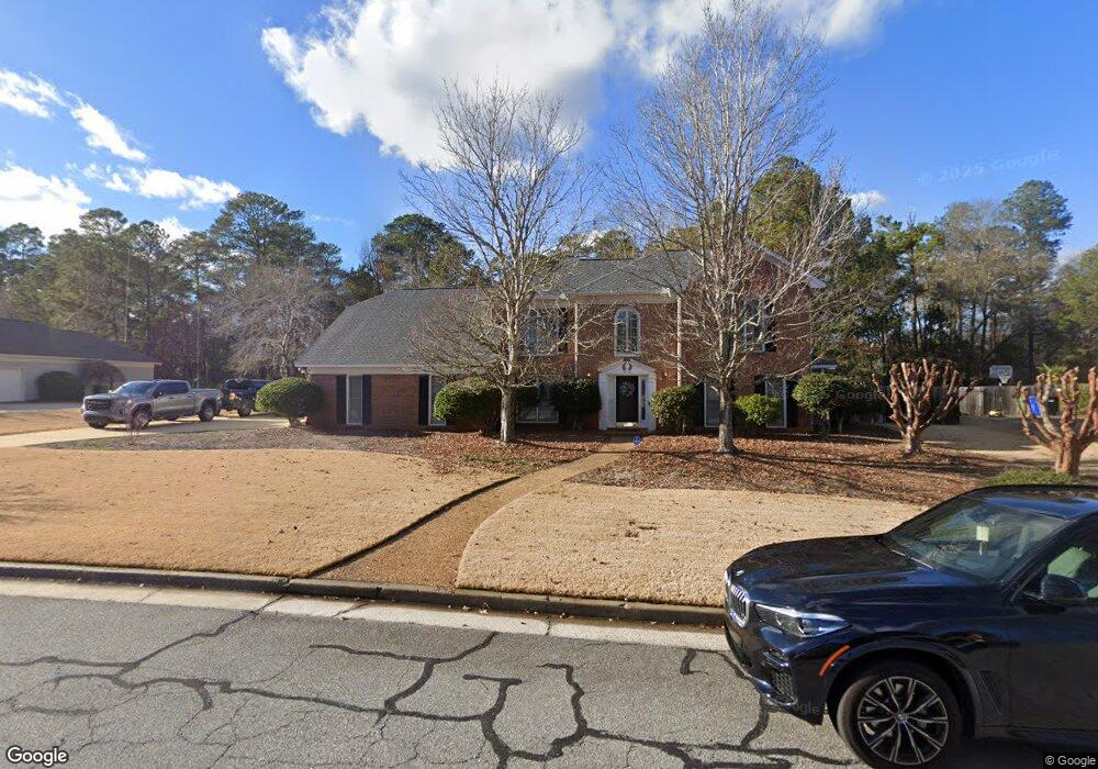
6438 Cape Cod Dr Columbus, GA 31904
North Columbus NeighborhoodEstimated Value: $394,000 - $448,000
4
Beds
3
Baths
3,040
Sq Ft
$138/Sq Ft
Est. Value
About This Home
This home is located at 6438 Cape Cod Dr, Columbus, GA 31904 and is currently estimated at $420,777, approximately $138 per square foot. 6438 Cape Cod Dr is a home located in Muscogee County with nearby schools including River Road Elementary School, Double Churches Middle School, and Northside High School.
Ownership History
Date
Name
Owned For
Owner Type
Purchase Details
Closed on
Sep 15, 2014
Sold by
Stranger Robert M
Bought by
Borkat Caroline S and Borkat Daniel B
Current Estimated Value
Home Financials for this Owner
Home Financials are based on the most recent Mortgage that was taken out on this home.
Original Mortgage
$274,928
Outstanding Balance
$206,356
Interest Rate
3.62%
Mortgage Type
FHA
Estimated Equity
$214,421
Create a Home Valuation Report for This Property
The Home Valuation Report is an in-depth analysis detailing your home's value as well as a comparison with similar homes in the area
Home Values in the Area
Average Home Value in this Area
Purchase History
| Date | Buyer | Sale Price | Title Company |
|---|---|---|---|
| Borkat Caroline S | $280,000 | -- |
Source: Public Records
Mortgage History
| Date | Status | Borrower | Loan Amount |
|---|---|---|---|
| Open | Borkat Caroline S | $274,928 |
Source: Public Records
Tax History
| Year | Tax Paid | Tax Assessment Tax Assessment Total Assessment is a certain percentage of the fair market value that is determined by local assessors to be the total taxable value of land and additions on the property. | Land | Improvement |
|---|---|---|---|---|
| 2025 | $3,868 | $139,784 | $30,156 | $109,628 |
| 2024 | $3,867 | $139,784 | $30,156 | $109,628 |
| 2023 | $3,197 | $139,784 | $30,156 | $109,628 |
| 2022 | $4,033 | $116,532 | $30,156 | $86,376 |
| 2021 | $4,026 | $110,432 | $30,156 | $80,276 |
| 2020 | $4,027 | $110,432 | $30,156 | $80,276 |
| 2019 | $4,042 | $110,432 | $30,156 | $80,276 |
| 2018 | $4,042 | $110,432 | $30,156 | $80,276 |
| 2017 | $4,057 | $110,432 | $30,156 | $80,276 |
| 2016 | $4,073 | $112,000 | $13,356 | $98,644 |
| 2015 | $4,078 | $112,000 | $13,356 | $98,644 |
| 2014 | $977 | $84,698 | $13,356 | $71,342 |
| 2013 | -- | $84,698 | $13,356 | $71,342 |
Source: Public Records
Map
Nearby Homes
- 6390 Cape Cod Dr
- 6333 Cape Cod Dr
- 6101 River Rd Unit 14
- 6101 River Rd Unit 13
- 6101 River Rd Unit 2
- 6400 Green Island Dr Unit 42
- 6400 Green Island Dr Unit 11
- 6400 Green Island Dr Unit 43
- 16 Kylemore Ct
- 6801 River Rd Unit 406
- 6801 River Rd Unit 407
- 280 Zachary Ct
- 7015 Spring Walk Dr
- 268 Woodstream Dr
- 6861 Copper Oaks Ct
- 854 Oakwood Dr
- 7281 Mobley Walk Dr
- 6528 Standing Boy Rd
- 312 Woodstream Dr
- 308 Woodstream Dr
- 6430 Cape Cod Dr
- 6446 Cape Cod Dr
- 1 Bridgecreek Ct
- 6421 Cape Cod Dr
- 6422 Cape Cod Dr
- 6454 Cape Cod Dr
- 2 Bridgecreek Ct
- 6409 Cape Cod Dr
- 6453 Cape Cod Dr
- 10 Bridgecreek Ct
- 6462 Cape Cod Dr
- 6414 Cape Cod Dr
- 3 Bridgecreek Ct
- 22 Pinecreek Dr
- 23 Pinecreek Dr
- 6406 Cape Cod Dr
- 6399 Cape Cod Dr
- 9 Bridgecreek Ct
- 12 Stonewood Ct
- 6470 Cape Cod Dr
Your Personal Tour Guide
Ask me questions while you tour the home.