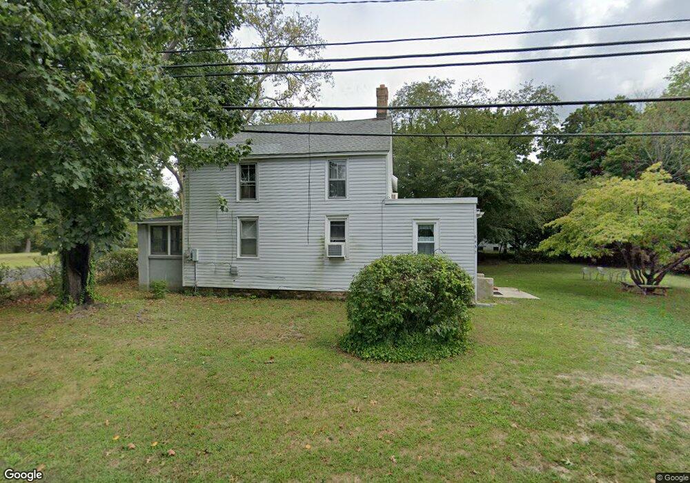
6438 Jefferson Ave Mays Landing, NJ 08330
Estimated Value: $211,572 - $282,000
--
Bed
--
Bath
1,214
Sq Ft
$199/Sq Ft
Est. Value
About This Home
This home is located at 6438 Jefferson Ave, Mays Landing, NJ 08330 and is currently estimated at $241,643, approximately $199 per square foot. 6438 Jefferson Ave is a home with nearby schools including Joseph Shaner School, George L. Hess Educational Complex, and William Davies Middle School.
Ownership History
Date
Name
Owned For
Owner Type
Purchase Details
Closed on
Feb 4, 2008
Sold by
Holland Delia
Bought by
Mcfarland Jane E
Current Estimated Value
Home Financials for this Owner
Home Financials are based on the most recent Mortgage that was taken out on this home.
Original Mortgage
$108,613
Outstanding Balance
$69,010
Interest Rate
6.2%
Mortgage Type
New Conventional
Estimated Equity
$172,633
Create a Home Valuation Report for This Property
The Home Valuation Report is an in-depth analysis detailing your home's value as well as a comparison with similar homes in the area
Home Values in the Area
Average Home Value in this Area
Purchase History
| Date | Buyer | Sale Price | Title Company |
|---|---|---|---|
| Mcfarland Jane E | $114,330 | Foundation Title |
Source: Public Records
Mortgage History
| Date | Status | Borrower | Loan Amount |
|---|---|---|---|
| Open | Mcfarland Jane E | $108,613 |
Source: Public Records
Tax History Compared to Growth
Tax History
| Year | Tax Paid | Tax Assessment Tax Assessment Total Assessment is a certain percentage of the fair market value that is determined by local assessors to be the total taxable value of land and additions on the property. | Land | Improvement |
|---|---|---|---|---|
| 2025 | $3,424 | $99,800 | $25,700 | $74,100 |
| 2024 | $3,424 | $99,800 | $25,700 | $74,100 |
| 2023 | $3,220 | $99,800 | $25,700 | $74,100 |
| 2022 | $3,220 | $99,800 | $25,700 | $74,100 |
| 2021 | $3,213 | $99,800 | $25,700 | $74,100 |
| 2020 | $3,213 | $99,800 | $25,700 | $74,100 |
| 2019 | $3,221 | $99,800 | $25,700 | $74,100 |
| 2018 | $3,108 | $99,800 | $25,700 | $74,100 |
| 2017 | $3,059 | $99,800 | $25,700 | $74,100 |
| 2016 | $2,973 | $99,800 | $25,700 | $74,100 |
| 2015 | $2,872 | $99,800 | $25,700 | $74,100 |
| 2014 | $2,921 | $111,200 | $30,900 | $80,300 |
Source: Public Records
Map
Nearby Homes
- 6917 Market St
- 1362 Annapolis Ave
- 1368 Sitka Ave
- 6422 Strand Ave
- 6414 Strand Ave
- 0 San Francisco Ave
- 6839 Harding Hwy
- 328 Llewellyn Ave
- 1516 Thirty Third St
- 5485 Landis Ave
- 0 0 Strand Ave
- 0 St Petersburg Ave Unit NJAC2011842
- 0 St Petersburg Ave Unit NJAC2011840
- 0 Division Ave
- 0 Railroad Blvd
- 0 Merton Ave Unit NJAC2020566
- 1306 Harding Hwy
- 127 Fir Ave
- 968 Main Ave
- 0 South Ave
- 6940 Railroad Blvd
- 6944 Railroad Blvd
- 6928 Railroad Blvd
- 6948 Railroad Blvd
- 1516 Thirty Third St
- 6422 Dehirsch Ave
- 6496 Lincoln St
- 6492 Lincoln St
- 6922 Railroad Blvd
- 6478 Jefferson Ave
- 6488 Dehirsch Ave
- 0 St Petersburg Unit 1006762402
- 0 St Petersburg Unit 356597
- 0 St Petersburg Unit 5671311
- 6918 Railroad Blvd
- 6914 Railroad Blvd
- 0 Sitka Ave
- 6486 Adams Ave
- 1288 Key West Ave
- 6448 Dehirsch Ave