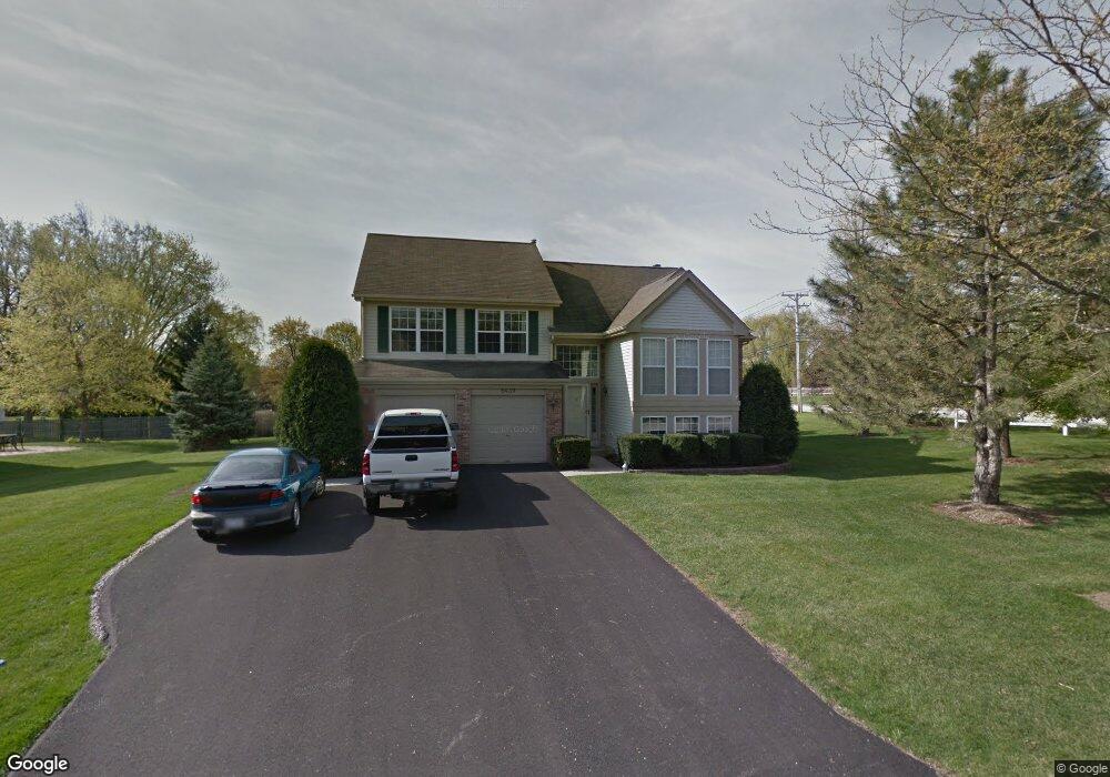
6439 Andover Dr Gurnee, IL 60031
Gurnee AreaEstimated Value: $438,000 - $448,000
About This Home
This home is located at 6439 Andover Dr, Gurnee, IL 60031 and is currently estimated at $443,505, approximately $293 per square foot. 6439 Andover Dr is a home located in Lake County with nearby schools including Woodland Primary School, Woodland Elementary School, and Woodland Intermediate School.
Ownership History
We collect this data history from publicly available records. To have your information removed, we recommend requesting removal directly through your county’s website.
Purchase Details
Purchase Details
Home Financials for this Owner
Home Financials are based on the most recent Mortgage that was taken out on this home.Purchase Details
Home Values in the Area
Average Home Value in this Area
Purchase History
We collect this data history from publicly available records. To have your information removed, we recommend requesting removal directly through your county’s website.
| Date | Buyer | Sale Price | Title Company |
|---|---|---|---|
| -- | None Listed On Document | ||
| $307,000 | -- | ||
| $213,000 | Chicago Title Insurance Co |
Mortgage History
We collect this data history from publicly available records. To have your information removed, we recommend requesting removal directly through your county’s website.
| Date | Status | Borrower | Loan Amount |
|---|---|---|---|
| Previous Owner | $240,000 | ||
| Previous Owner | $50,000 | ||
| Previous Owner | $268,000 | ||
| Previous Owner | $243,000 | ||
| Previous Owner | $245,600 | ||
| Previous Owner | $199,300 |
Tax History
We collect this data history from publicly available records. To have your information removed, we recommend requesting removal directly through your county’s website.
| Year | Tax Paid | Tax Assessment Tax Assessment Total Assessment is a certain percentage of the fair market value that is determined by local assessors to be the total taxable value of land and additions on the property. | Land | Improvement |
|---|---|---|---|---|
| 2025 | $11,143 | $130,654 | $20,886 | $109,768 |
| 2024 | $10,095 | $127,729 | $19,696 | $108,033 |
| 2023 | $9,632 | $110,725 | $17,074 | $93,651 |
| 2022 | $9,632 | $104,813 | $17,080 | $87,733 |
| 2021 | $8,704 | $100,608 | $16,395 | $84,213 |
| 2020 | $8,421 | $98,135 | $15,992 | $82,143 |
| 2019 | $8,181 | $95,286 | $15,528 | $79,758 |
| 2018 | $7,878 | $93,097 | $19,149 | $73,948 |
| 2017 | $7,793 | $90,429 | $18,600 | $71,829 |
| 2016 | $7,728 | $86,403 | $17,772 | $68,631 |
| 2015 | $7,523 | $81,945 | $16,855 | $65,090 |
| 2014 | $7,709 | $84,372 | $16,640 | $67,732 |
| 2012 | $7,481 | $85,018 | $16,767 | $68,251 |
Map
- 6395 Cunningham Ct Unit A
- 703 Owl Creek Ln
- 913 Campbell Dr Unit U486
- 6061 Golfview Dr
- 917 Vose Dr Unit 411
- 17505 W Woodland Dr
- 930 Taylor Dr Unit 104
- 17534 W Windhaven Ct
- 6285 Murifield Dr
- 32958 N Stone Manor Dr
- 736 Glen Way Unit U193
- 324 S Fork Dr
- 650 Whitney Ct Unit 105
- 661 Mitchell Ct Unit U235
- 33298 N Eastwood Rd
- 648 Mitchell Ct
- 845 Brian Ct Unit 6
- 17976 W Big Oaks Rd
- 34228 N Birch Ln Unit 27C
- 17931 W Gages Lake Rd
- 6431 Andover Dr
- 6423 Andover Dr
- 6415 Andover Dr
- 33175 N Hunt Club Rd
- 6434 Andover Dr
- 6426 Andover Dr
- 6442 Andover Dr
- 6407 Andover Dr
- 6418 Andover Dr
- 814 Halifax Rd
- 33165 N Hunt Club Rd
- 822 Halifax Rd
- 33153 N Hunt Club Rd
- 6410 Andover Dr
- 17169 W Huntington Cir
- 17179 W Huntington Cir
- 17155 W Huntington Cir
- 830 Halifax Rd
- 17141 W Huntington Cir
- 6391 Andover Dr
Ask me questions while you tour the home.