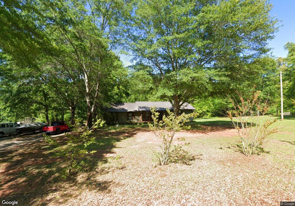
644 Grove Level Rd Commerce, GA 30529
Estimated Value: $239,000 - $272,714
2
Beds
2
Baths
1,536
Sq Ft
$166/Sq Ft
Est. Value
About This Home
This home is located at 644 Grove Level Rd, Commerce, GA 30529 and is currently estimated at $255,179, approximately $166 per square foot. 644 Grove Level Rd is a home located in Banks County with nearby schools including Banks County Primary School, Banks County Elementary School, and Banks County Middle School.
Ownership History
Date
Name
Owned For
Owner Type
Purchase Details
Closed on
Jul 3, 2012
Sold by
Welborn Aaron
Bought by
Moon Richard W and Moon Brandy L
Current Estimated Value
Purchase Details
Closed on
May 5, 2009
Sold by
Welborn Aaron
Bought by
Hershberger Jonathan L and Hershberger Devon E
Purchase Details
Closed on
Feb 3, 2009
Sold by
Strickland Kathleen V
Bought by
Wells Fargo Bank Na
Create a Home Valuation Report for This Property
The Home Valuation Report is an in-depth analysis detailing your home's value as well as a comparison with similar homes in the area
Home Values in the Area
Average Home Value in this Area
Purchase History
| Date | Buyer | Sale Price | Title Company |
|---|---|---|---|
| Moon Richard W | $74,000 | -- | |
| Welborn Aaron | $75,362 | -- | |
| Hershberger Jonathan L | $74,867 | -- | |
| Welborn Aaron | $75,500 | -- | |
| Wells Fargo Bank Na | $95,000 | -- |
Source: Public Records
Tax History
| Year | Tax Paid | Tax Assessment Tax Assessment Total Assessment is a certain percentage of the fair market value that is determined by local assessors to be the total taxable value of land and additions on the property. | Land | Improvement |
|---|---|---|---|---|
| 2025 | $1,706 | $86,599 | $14,459 | $72,140 |
| 2024 | $1,678 | $82,417 | $13,144 | $69,273 |
| 2023 | $1,338 | $63,678 | $10,620 | $53,058 |
| 2022 | $1,181 | $56,202 | $10,348 | $45,854 |
| 2021 | $1,082 | $48,407 | $7,063 | $41,344 |
| 2020 | $834 | $36,391 | $5,935 | $30,456 |
| 2019 | $839 | $36,391 | $5,935 | $30,456 |
| 2018 | $757 | $32,321 | $4,566 | $27,755 |
| 2017 | $766 | $31,339 | $3,970 | $27,369 |
| 2016 | $788 | $31,339 | $3,970 | $27,369 |
| 2015 | $767 | $31,339 | $3,970 | $27,369 |
| 2014 | $767 | $32,533 | $5,164 | $27,369 |
| 2013 | -- | $33,170 | $8,364 | $24,806 |
Source: Public Records
Map
Nearby Homes
- 126 Loggins Trail
- 390 Beck Farm Rd
- 0 McDonald Cir Unit 7694829
- 1851 Yarbrough Ridgeway Rd
- 711 W Ridgeway Rd
- 259 E Ridgeway Rd
- 20352 Highway 441 S
- 0 Steven B Tanger Blvd Unit 18091877
- 197 Ridgeland Dr
- 0 Eisenhower Dr
- 163 Ridgeland Dr
- 840 Haggard Rd
- 156 Bel Air Dr
- 150 Harden Bridge Rd
- 116 Valley View Dr
- 142 Holland Dam Dr
- 606 Beck Rd
- 301 Oak Ridge Dr
- 1262 Ridgeway Church Rd
- 5830 Maysville Rd
- 680 Grove Level Rd
- 630 Grove Level Rd
- 696 Grove Level Rd
- 722 Grove Level Rd
- 118 Trout Ln
- 561 Grove Level Rd
- 178 Trout Ln
- 732 Grove Level Rd
- 574 Grove Level Rd
- 160 Trout Ln
- 196 Trout Ln
- 543 Grove Level Rd
- 744 Grove Level Rd
- 541 Grove Level Rd
- 109 Trout Ln
- 220 Trout Ln
- 127 Trout Ln
- 282 Trout Ln
- 151 Trout Ln
- 500 Grove Level Rd
Your Personal Tour Guide
Ask me questions while you tour the home.