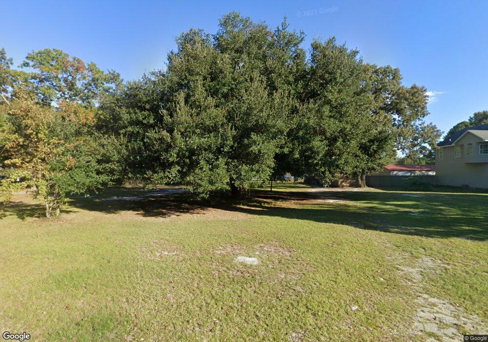
644 McCrystal Cir Moncks Corner, SC 29461
Estimated Value: $287,000 - $332,100
Studio
--
Bath
2,432
Sq Ft
$127/Sq Ft
Est. Value
About This Home
This home is located at 644 McCrystal Cir, Moncks Corner, SC 29461 and is currently estimated at $309,550, approximately $127 per square foot. 644 McCrystal Cir is a home located in Berkeley County with nearby schools including Whitesville Elementary School, Berkeley Middle School, and Berkeley High School.
Ownership History
Date
Name
Owned For
Owner Type
Purchase Details
Closed on
Dec 22, 2006
Sold by
Smith Clyde E and Smith Joann S
Bought by
Harris Charles S
Current Estimated Value
Home Financials for this Owner
Home Financials are based on the most recent Mortgage that was taken out on this home.
Original Mortgage
$153,784
Outstanding Balance
$90,870
Interest Rate
6.1%
Mortgage Type
FHA
Estimated Equity
$218,680
Purchase Details
Closed on
Sep 5, 2000
Sold by
American Mtg & Investment Company
Bought by
Smith Clyde E and Smith Joann S
Create a Home Valuation Report for This Property
The Home Valuation Report is an in-depth analysis detailing your home's value as well as a comparison with similar homes in the area
Purchase History
| Date | Buyer | Sale Price | Title Company |
|---|---|---|---|
| Harris Charles S | $155,000 | None Available | |
| Smith Clyde E | $42,000 | -- |
Source: Public Records
Mortgage History
| Date | Status | Borrower | Loan Amount |
|---|---|---|---|
| Open | Harris Charles S | $153,784 |
Source: Public Records
Tax History Compared to Growth
Tax History
| Year | Tax Paid | Tax Assessment Tax Assessment Total Assessment is a certain percentage of the fair market value that is determined by local assessors to be the total taxable value of land and additions on the property. | Land | Improvement |
|---|---|---|---|---|
| 2025 | $914 | $64,400 | $64,400 | $0 |
| 2024 | $908 | $3,864 | $3,864 | $0 |
| 2023 | $908 | $3,864 | $3,864 | $0 |
| 2022 | $876 | $3,360 | $3,360 | $0 |
| 2021 | $2,311 | $7,720 | $2,902 | $4,819 |
| 2020 | $2,319 | $7,721 | $2,902 | $4,819 |
| 2019 | $2,315 | $7,721 | $2,902 | $4,819 |
| 2018 | $2,157 | $6,714 | $2,400 | $4,314 |
| 2017 | $2,038 | $6,714 | $2,400 | $4,314 |
| 2016 | $2,056 | $6,710 | $2,400 | $4,310 |
| 2015 | $1,962 | $6,710 | $2,400 | $4,310 |
| 2014 | $1,837 | $6,710 | $2,400 | $4,310 |
| 2013 | -- | $6,710 | $2,400 | $4,310 |
Source: Public Records
Map
Nearby Homes
- 0 Linden Ct
- 560 Farrell St
- 124 Lodestone Ct
- 0 Tillman Branch Rd Unit 25016941
- 413 Peacock Ln
- 000 Tullis St
- 321 N Mano St
- 629 Grandfather Ln
- 207 New Grade Rd
- 630 Grandfather Ln
- 114 Lakewood Dr
- 220 Old Grove Ave
- 142 Mano St
- 333 Grape Arbor Dr
- 427 Grape Arbor Dr
- 408 Treeline Dr
- 426 Treeline Dr
- 0 Garcia Ln Unit 25024268
- 0 Highway 176 Unit 24011116
- 138 Lisenby Dr
- 648 McCrystal Cir
- 640 McCrystal Cir
- 652 McCrystal Cir
- 647 McCrystal Cir
- 651 McCrystal Cir
- 632 McCrystal Cir
- 656 McCrystal Cir
- 643 McCrystal Cir
- 639 McCrystal Cir
- 635 McCrystal Cir
- 657 McCrystal Cir
- 660 McCrystal Cir
- 605 Deepwood Ct
- 628 McCrystal Cir
- 623 McCrystal Cir
- 624 McCrystal Cir
- 526 Midway Ct
- 530 Midway Ct
- 661 McCrystal Cir
- 664 McCrystal Cir
