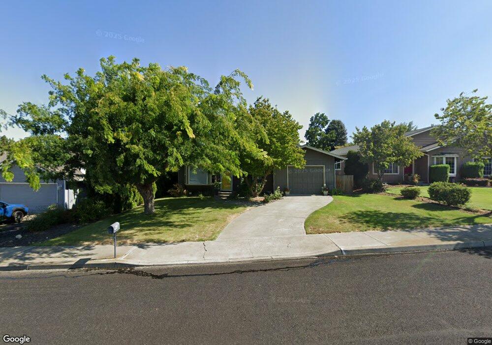
644 Sherman Dr the Dalles, OR 97058
Estimated Value: $318,735 - $402,000
3
Beds
1
Bath
1,014
Sq Ft
$355/Sq Ft
Est. Value
About This Home
This home is located at 644 Sherman Dr, the Dalles, OR 97058 and is currently estimated at $360,368, approximately $355 per square foot. 644 Sherman Dr is a home located in Wasco County with nearby schools including Dry Hollow Elementary School, The Dalles Middle School, and The Dalles High School.
Ownership History
Date
Name
Owned For
Owner Type
Purchase Details
Closed on
Sep 25, 2020
Sold by
Denney Marcus
Bought by
Denney Marcus and Denney Lindsay R
Current Estimated Value
Home Financials for this Owner
Home Financials are based on the most recent Mortgage that was taken out on this home.
Original Mortgage
$133,400
Outstanding Balance
$118,652
Interest Rate
2.9%
Mortgage Type
New Conventional
Estimated Equity
$241,716
Purchase Details
Closed on
Jul 9, 2009
Sold by
Jenson Charles O and Jenson Pamela J
Bought by
Denney Marcus
Home Financials for this Owner
Home Financials are based on the most recent Mortgage that was taken out on this home.
Original Mortgage
$161,224
Interest Rate
5.25%
Mortgage Type
New Conventional
Create a Home Valuation Report for This Property
The Home Valuation Report is an in-depth analysis detailing your home's value as well as a comparison with similar homes in the area
Home Values in the Area
Average Home Value in this Area
Purchase History
| Date | Buyer | Sale Price | Title Company |
|---|---|---|---|
| Denney Marcus | -- | Wasco Title Inc | |
| Denney Marcus | $158,000 | -- |
Source: Public Records
Mortgage History
| Date | Status | Borrower | Loan Amount |
|---|---|---|---|
| Open | Denney Marcus | $133,400 | |
| Closed | Denney Marcus | $161,224 |
Source: Public Records
Tax History Compared to Growth
Tax History
| Year | Tax Paid | Tax Assessment Tax Assessment Total Assessment is a certain percentage of the fair market value that is determined by local assessors to be the total taxable value of land and additions on the property. | Land | Improvement |
|---|---|---|---|---|
| 2024 | $2,575 | $143,037 | -- | -- |
| 2023 | $2,500 | $138,871 | $0 | $0 |
| 2022 | $2,444 | $64,617 | $0 | $0 |
| 2021 | $2,369 | $61,779 | $0 | $0 |
| 2020 | $2,310 | $60,460 | $0 | $0 |
| 2019 | $2,440 | $59,180 | $0 | $0 |
| 2018 | $2,372 | $119,790 | $0 | $0 |
| 2017 | $2,297 | $116,301 | $0 | $0 |
| 2016 | $2,209 | $112,914 | $0 | $0 |
| 2015 | $2,155 | $109,625 | $0 | $0 |
| 2014 | $2,049 | $106,432 | $0 | $0 |
Source: Public Records
Map
Nearby Homes
- 679 Brentwood Dr E
- 500 E Knoll Ct
- 512 E Knoll Ct
- 3103 Fremont St
- 936 Richmond St
- 1700 Lone Pine Blvd
- 192 Honeysuckle Ln
- 1300 Lone Pine Blvd
- 0 Lone Pine Ln
- 1400 Lone Pine Blvd
- 1500 Lone Pine Blvd
- 260 Lone Pine Ln Unit 2
- 240 Lone Pine Ln Unit 2
- 2718 E 2nd St
- 155 Southshore Ave
- 2803 E 12th St
- 112 Southshore Ave
- 125 Southshore Ln
- 122 123 Southshore Ln
- 3564 E 2nd St Unit 33
- 648 Sherman Dr
- 652 Sherman Dr
- 633 Brentwood Dr E
- 632 Sherman Dr
- 639 Brentwood Dr E
- 660 Sherman Dr
- 629 Brentwood Dr E
- 630 Sherman Dr
- 641 Sherman Dr
- 647 Sherman Dr
- 635 Sherman Dr
- 645 Brentwood Dr E
- 653 Sherman Dr
- 633 Sherman Dr
- 626 Sherman Dr
- 623 Brentwood Dr E
- 659 Sherman Dr
- 629 Sherman Dr
- 653 Brentwood Dr E
- 648 Wasco Dr