Estimated Value: $382,000 - $416,404
3
Beds
2
Baths
1,629
Sq Ft
$245/Sq Ft
Est. Value
About This Home
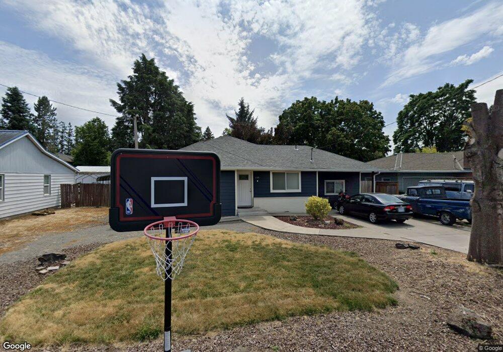
This home is located at 644 Stark St N, Salem, OR 97303 and is currently estimated at $399,351, approximately $245 per square foot. 644 Stark St N is a home located in Marion County with nearby schools including Cummings Elementary School, Claggett Creek Middle School, and McNary High School.
Ownership History
Date
Name
Owned For
Owner Type
Purchase Details
Closed on
May 18, 2007
Sold by
Herb Christopher
Bought by
Ceja Gabriel and Ceja Gabriela
Current Estimated Value
Home Financials for this Owner
Home Financials are based on the most recent Mortgage that was taken out on this home.
Original Mortgage
$121,500
Outstanding Balance
$73,543
Interest Rate
6.17%
Mortgage Type
Purchase Money Mortgage
Estimated Equity
$325,808
Purchase Details
Closed on
Mar 13, 2007
Sold by
Reed Robert Lee
Bought by
Herb Christopher
Create a Home Valuation Report for This Property
The Home Valuation Report is an in-depth analysis detailing your home's value as well as a comparison with similar homes in the area
Home Values in the Area
Average Home Value in this Area
Purchase History
| Date | Buyer | Sale Price | Title Company |
|---|---|---|---|
| Ceja Gabriel | $162,000 | Fidelity Natl Title Co Of Or | |
| Herb Christopher | $118,000 | Fidelity Natl Title Co Of Or |
Source: Public Records
Mortgage History
| Date | Status | Borrower | Loan Amount |
|---|---|---|---|
| Open | Ceja Gabriel | $121,500 | |
| Closed | Ceja Gabriel | $40,500 |
Source: Public Records
Tax History Compared to Growth
Tax History
| Year | Tax Paid | Tax Assessment Tax Assessment Total Assessment is a certain percentage of the fair market value that is determined by local assessors to be the total taxable value of land and additions on the property. | Land | Improvement |
|---|---|---|---|---|
| 2025 | $2,972 | $155,900 | -- | -- |
| 2024 | $2,972 | $151,360 | -- | -- |
| 2023 | $2,884 | $146,960 | $0 | $0 |
| 2022 | $2,720 | $142,680 | $0 | $0 |
| 2021 | $2,642 | $138,530 | $0 | $0 |
| 2020 | $2,644 | $134,500 | $0 | $0 |
| 2019 | $2,475 | $130,590 | $0 | $0 |
| 2018 | $2,018 | $0 | $0 | $0 |
| 2017 | $1,821 | $0 | $0 | $0 |
| 2016 | $1,735 | $0 | $0 | $0 |
| 2015 | $1,748 | $0 | $0 | $0 |
| 2014 | $1,692 | $0 | $0 | $0 |
Source: Public Records
Map
Nearby Homes
- 220 Gardenia Dr N Unit 222
- 3297 River Rd N
- 3652 Powder Creek Ct N
- 567 Bliler Ave NE
- 3796 Hart Dr N
- 500 Bever Dr NE
- 2635 5th St NE
- 675 Johnson St NE
- 3030 River Bend Rd NW
- 1001 Ring St NE Unit 1007
- 1009 Ring St NE Unit 1015
- 132 Sunset Ave N Unit 168
- 530 Larry Ave N
- 211 Sunset Ave N
- 2397 Hazel Ave NE
- 3030 Riverbend Rd
- 2233 Maple Ave SE
- 2045 Liberty St NE
- 2035 4th St NE
- 3774 Homestead Ct NE
- 624 Stark St N
- 684 Stark St N
- 584 Stark St N
- 3190 Willamette Dr N
- 3170 Willamette Dr N
- 573 Delmar Dr N
- 643 Delmar Dr N
- 623 Delmar Dr N
- 683 Delmar Dr N
- 3221 Mayfield Place N
- 544 Stark St N
- 3120 Willamette Dr N
- 3222 Willamette Dr N
- 3222 Mayfield Place N
- 583 Delmar Dr N
- 3155 Jack St N
- 3195 Jack St N
- 543 Delmar Dr N
- 3225 Mayfield Place N
- 3240 Willamette Dr N