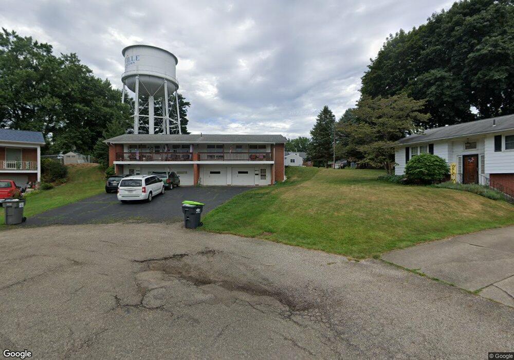
644 Weeburn Way Louisville, OH 44641
Estimated Value: $205,000 - $243,000
4
Beds
2
Baths
1,950
Sq Ft
$119/Sq Ft
Est. Value
About This Home
This home is located at 644 Weeburn Way, Louisville, OH 44641 and is currently estimated at $231,980, approximately $118 per square foot. 644 Weeburn Way is a home located in Stark County with nearby schools including Louisville High School and St. Thomas Aquinas High School & Middle School.
Ownership History
Date
Name
Owned For
Owner Type
Purchase Details
Closed on
Mar 12, 1996
Sold by
Conrad O M
Bought by
Rhodes Roy T
Current Estimated Value
Home Financials for this Owner
Home Financials are based on the most recent Mortgage that was taken out on this home.
Original Mortgage
$95,000
Interest Rate
7.05%
Mortgage Type
New Conventional
Purchase Details
Closed on
Jul 27, 1993
Create a Home Valuation Report for This Property
The Home Valuation Report is an in-depth analysis detailing your home's value as well as a comparison with similar homes in the area
Home Values in the Area
Average Home Value in this Area
Purchase History
| Date | Buyer | Sale Price | Title Company |
|---|---|---|---|
| Rhodes Roy T | $95,000 | -- | |
| -- | -- | -- |
Source: Public Records
Mortgage History
| Date | Status | Borrower | Loan Amount |
|---|---|---|---|
| Closed | Rhodes Roy T | $95,000 |
Source: Public Records
Tax History Compared to Growth
Tax History
| Year | Tax Paid | Tax Assessment Tax Assessment Total Assessment is a certain percentage of the fair market value that is determined by local assessors to be the total taxable value of land and additions on the property. | Land | Improvement |
|---|---|---|---|---|
| 2025 | -- | $75,290 | $18,240 | $57,050 |
| 2024 | -- | $75,290 | $18,240 | $57,050 |
| 2023 | $2,836 | $64,440 | $13,790 | $50,650 |
| 2022 | $2,842 | $64,440 | $13,790 | $50,650 |
| 2021 | $2,850 | $64,440 | $13,790 | $50,650 |
| 2020 | $2,301 | $56,320 | $12,430 | $43,890 |
| 2019 | $2,307 | $57,090 | $11,480 | $45,610 |
| 2018 | $2,336 | $57,090 | $11,480 | $45,610 |
| 2017 | $2,118 | $49,950 | $9,210 | $40,740 |
| 2016 | $2,161 | $49,950 | $9,210 | $40,740 |
| 2015 | $2,168 | $49,950 | $9,210 | $40,740 |
| 2014 | $168 | $46,450 | $8,540 | $37,910 |
| 2013 | $1,088 | $46,450 | $8,540 | $37,910 |
Source: Public Records
Map
Nearby Homes
- 0 Michigan Blvd
- 2015 E Main St
- 1170 Winding Ridge Ave
- 308 Superior St
- 1715 High St
- 1812 E Broad St
- 910 Crosswyck Cir
- 641 S Nickelplate St
- 325 Lincoln Ave
- 520 S Silver St
- 728 E Broad St
- 316 E Reno Dr
- 204 E Broad St
- 428 Honeycrisp Dr NE
- 3047 Mcintosh Dr NE
- 432 Honeycrisp Dr NE
- 2962 Mcintosh Dr NE
- 2963 Mcintosh Dr NE
- 430 Honeycrisp Dr NE
- 2957 Mcintosh Dr NE
- 640 Weeburn Way
- 650 Weeburn Way
- 319 N Marion Ave
- 1519 Michigan Blvd
- 1525 Michigan Blvd
- 1525 1523 Michigan Blvd
- 651 Weeburn Way
- 630 Weeburn Way
- 701 N Marion Ave
- 616 Weeburn Way
- 305 N Marion Ave
- 600 N Marion Ave
- 645 Weeburn Way
- 606 Weeburn Way
- 1520 Michigan Blvd
- 637 Weeburn Way
- 641 Weeburn Way
- 217 N Marion Ave
- 500 N Marion Ave
- 402 N Marion Ave