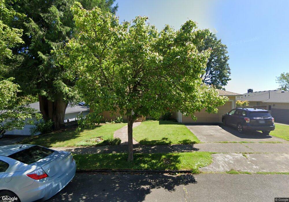
6441 SW Loop Dr Portland, OR 97221
Hayhurst NeighborhoodEstimated Value: $678,000 - $730,000
2
Beds
2
Baths
1,286
Sq Ft
$543/Sq Ft
Est. Value
About This Home
This home is located at 6441 SW Loop Dr, Portland, OR 97221 and is currently estimated at $697,759, approximately $542 per square foot. 6441 SW Loop Dr is a home located in Multnomah County with nearby schools including Hayhurst Elementary School, Robert Gray Middle School, and Ida B. Wells-Barnett High School.
Ownership History
Date
Name
Owned For
Owner Type
Purchase Details
Closed on
Feb 13, 2012
Sold by
Baker Lois M
Bought by
Baker Ivan W and Baker Linda S
Current Estimated Value
Purchase Details
Closed on
Nov 11, 2002
Sold by
Baker Carl R
Bought by
Baker Lois M
Home Financials for this Owner
Home Financials are based on the most recent Mortgage that was taken out on this home.
Original Mortgage
$85,000
Interest Rate
5.96%
Mortgage Type
Purchase Money Mortgage
Create a Home Valuation Report for This Property
The Home Valuation Report is an in-depth analysis detailing your home's value as well as a comparison with similar homes in the area
Home Values in the Area
Average Home Value in this Area
Purchase History
| Date | Buyer | Sale Price | Title Company |
|---|---|---|---|
| Baker Ivan W | -- | None Available | |
| Baker Lois M | -- | First American |
Source: Public Records
Mortgage History
| Date | Status | Borrower | Loan Amount |
|---|---|---|---|
| Closed | Baker Lois M | $85,000 |
Source: Public Records
Tax History Compared to Growth
Tax History
| Year | Tax Paid | Tax Assessment Tax Assessment Total Assessment is a certain percentage of the fair market value that is determined by local assessors to be the total taxable value of land and additions on the property. | Land | Improvement |
|---|---|---|---|---|
| 2025 | $8,536 | $317,080 | -- | -- |
| 2024 | $8,229 | $307,850 | -- | -- |
| 2023 | $7,913 | $298,890 | $0 | $0 |
| 2022 | $7,741 | $290,190 | $0 | $0 |
| 2021 | $7,611 | $281,740 | $0 | $0 |
| 2020 | $6,981 | $273,540 | $0 | $0 |
| 2019 | $6,725 | $265,580 | $0 | $0 |
| 2018 | $6,527 | $257,850 | $0 | $0 |
| 2017 | $6,256 | $250,340 | $0 | $0 |
| 2016 | $5,724 | $243,050 | $0 | $0 |
| 2015 | $5,574 | $235,980 | $0 | $0 |
| 2014 | $5,490 | $229,110 | $0 | $0 |
Source: Public Records
Map
Nearby Homes
- 4524 SW Illinois St
- 6021 SW 45th Ave
- 5908 SW 45th Ave
- 4140 SW Dakota St
- 6255 SW Tower Way
- 5040 SW Iowa St
- 3946 SW Cullen Blvd
- 4606 SW Martha St
- 5033 SW Texas St
- 4255 SW Beaverton Hillsdale Hwy
- 3605 SW Texas St
- 5411 SW Idaho St
- 3441 SW Vermont St
- 3624 SW Nevada St
- 6005 SW 33rd Place
- 4819 SW Beaverton Hillsdale Hwy
- 4823 SW Beaverton Hillsdale Hwy
- 5005 SW Mitchell St Unit 3
- 7321 SW 52nd Ave
- 3609 SW Logan St
- 6437 SW Loop Dr
- 6445 SW Loop Dr
- 6433 SW Loop Dr
- 6449 SW Loop Dr
- 6440 SW Loop Dr
- 6429 SW Loop Dr
- 6442 SW Loop Dr
- 6453 SW Loop Dr
- 6438 SW Loop Dr
- 6450 SW Loop Dr
- 6444 SW Loop Dr
- 6430 SW Loop Dr
- 6428 SW Loop Dr
- 6448 SW Loop Dr
- 6425 SW Loop Dr
- 6457 SW Loop Dr
- 6426 SW Loop Dr
- 6434 SW Loop Dr
- 6454 SW Loop Dr
- 6432 SW Loop Dr