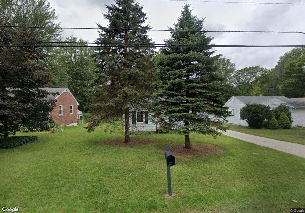
6442 Rosedale Rd Lansing, MI 48911
Southern Lansing NeighborhoodEstimated Value: $134,000 - $171,000
About This Home
This home is located at 6442 Rosedale Rd, Lansing, MI 48911 and is currently estimated at $149,050, approximately $134 per square foot. 6442 Rosedale Rd is a home located in Ingham County with nearby schools including North Elementary School, Everett High School, and Central Lutheran High School.
Ownership History
We collect this data history from publicly available records. To have your information removed, we recommend requesting removal directly through your county’s website.
Purchase Details
Home Financials for this Owner
Home Financials are based on the most recent Mortgage that was taken out on this home.Purchase Details
Home Financials for this Owner
Home Financials are based on the most recent Mortgage that was taken out on this home.Home Values in the Area
Average Home Value in this Area
Purchase History
We collect this data history from publicly available records. To have your information removed, we recommend requesting removal directly through your county’s website.
| Date | Buyer | Sale Price | Title Company |
|---|---|---|---|
| -- | Capital Title Of Portland | ||
| $42,900 | First American Title Ins Co |
Mortgage History
We collect this data history from publicly available records. To have your information removed, we recommend requesting removal directly through your county’s website.
| Date | Status | Borrower | Loan Amount |
|---|---|---|---|
| Closed | $104,600 | ||
| Closed | $43,104 | ||
| Closed | $2,505 |
Tax History
We collect this data history from publicly available records. To have your information removed, we recommend requesting removal directly through your county’s website.
| Year | Tax Paid | Tax Assessment Tax Assessment Total Assessment is a certain percentage of the fair market value that is determined by local assessors to be the total taxable value of land and additions on the property. | Land | Improvement |
|---|---|---|---|---|
| 2025 | $1,553 | $58,700 | $7,000 | $51,700 |
| 2024 | $15 | $49,600 | $7,000 | $42,600 |
| 2023 | $1,829 | $43,500 | $7,000 | $36,500 |
| 2022 | $1,652 | $39,100 | $8,500 | $30,600 |
| 2021 | $1,618 | $34,800 | $6,100 | $28,700 |
| 2020 | $1,607 | $32,500 | $6,100 | $26,400 |
| 2019 | $1,979 | $28,600 | $6,100 | $22,500 |
| 2018 | $1,445 | $24,400 | $6,100 | $18,300 |
| 2017 | $1,382 | $24,400 | $6,100 | $18,300 |
| 2016 | $1,322 | $24,000 | $6,100 | $17,900 |
| 2015 | $1,322 | $23,400 | $12,262 | $11,138 |
| 2014 | $1,322 | $22,800 | $14,610 | $8,190 |
Map
- 6444 Sommerset Rd
- 6307 Gardenia Ave
- 6265 Marywood Ave
- 6900 S Washington Ave
- 833 Hein Ave
- 6054 Daft St
- 826 R G Curtiss Ave
- 5635 Ellendale Dr
- 5051 W Willoughby Rd Unit 17
- 901 Brad St
- 1020 R G Curtiss Ave
- 5730 Cartago Dr
- 809 W Northrup St
- 1265 Roth Dr
- 1006 Attwood Dr
- 5700 Orchard Ct
- 2538 Sanibel Hollow
- 5810 Cartago Dr
- 2395 Washington Rd
- 6310 Beechfield Dr Unit 92
- 6438 Rosedale Rd
- 6500 Rosedale Rd
- 6432 Rosedale Rd
- 6426 Rosedale Rd
- 6445 Sommerset Rd
- 6439 Sommerset Rd
- 6501 Sommerset Rd
- 6435 Rosedale Rd
- 6501 Rosedale Rd
- 6520 Rosedale Rd
- 6433 Sommerset Rd
- 6509 Sommerset Rd
- 6433 Rosedale Rd
- 6429 Sommerset Rd
- 6420 Rosedale Rd
- 6439 Rosedale Rd
- 6423 Sommerset Rd
- 6517 Rosedale Rd
- 6519 Sommerset Rd
- 6412 Rosedale Rd
Ask me questions while you tour the home.