Estimated Value: $470,000 - $751,260
3
Beds
2
Baths
2,580
Sq Ft
$237/Sq Ft
Est. Value
About This Home
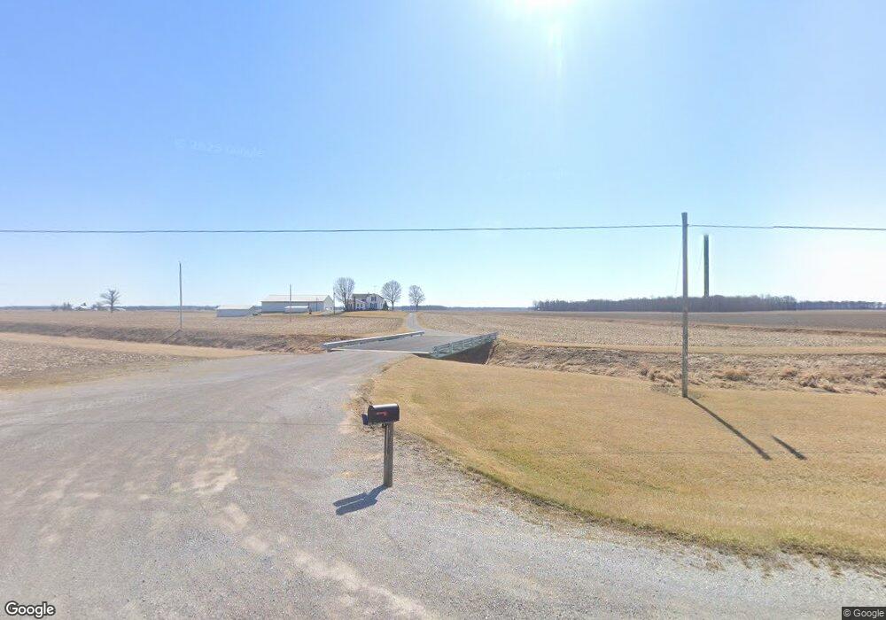
This home is located at 6442 State Route 81, Ada, OH 45810 and is currently estimated at $610,630, approximately $236 per square foot. 6442 State Route 81 is a home located in Hardin County with nearby schools including Hardin Northern Elementary School and Hardin Northern High School.
Ownership History
Date
Name
Owned For
Owner Type
Purchase Details
Closed on
Jun 6, 2023
Sold by
Gary Lynn Wagner Trust
Bought by
Wagner Principal Protection Trust and Wagner
Current Estimated Value
Purchase Details
Closed on
Apr 9, 2002
Bought by
Wagner Gary L and Wagner Nadine T
Purchase Details
Closed on
Feb 6, 2002
Bought by
Wagner Gary L
Purchase Details
Closed on
Aug 29, 1997
Bought by
Wagner Gary Lynn and Wagner Dorot
Create a Home Valuation Report for This Property
The Home Valuation Report is an in-depth analysis detailing your home's value as well as a comparison with similar homes in the area
Purchase History
| Date | Buyer | Sale Price | Title Company |
|---|---|---|---|
| Wagner Principal Protection Trust | -- | None Listed On Document | |
| Wagner Principal Protection Trust | -- | None Listed On Document | |
| Wagner Gary L | -- | -- | |
| Wagner Gary L | -- | -- | |
| Wagner Gary Lynn | -- | -- |
Source: Public Records
Tax History
| Year | Tax Paid | Tax Assessment Tax Assessment Total Assessment is a certain percentage of the fair market value that is determined by local assessors to be the total taxable value of land and additions on the property. | Land | Improvement |
|---|---|---|---|---|
| 2025 | $4,854 | $145,170 | $87,450 | $57,720 |
| 2024 | $4,854 | $145,170 | $87,450 | $57,720 |
| 2023 | $4,846 | $145,170 | $87,450 | $57,720 |
| 2022 | $3,719 | $91,180 | $51,410 | $39,770 |
| 2021 | $3,740 | $91,180 | $51,410 | $39,770 |
| 2020 | $3,753 | $91,180 | $51,410 | $39,770 |
| 2019 | $4,397 | $113,890 | $78,350 | $35,540 |
| 2018 | $4,416 | $113,890 | $78,350 | $35,540 |
| 2017 | $4,441 | $113,890 | $78,350 | $35,540 |
| 2016 | $4,493 | $122,260 | $95,570 | $26,690 |
| 2015 | $4,756 | $122,260 | $95,570 | $26,690 |
| 2014 | $4,527 | $122,260 | $95,570 | $26,690 |
| 2013 | $2,666 | $67,810 | $42,840 | $24,970 |
Source: Public Records
Map
Nearby Homes
- 510 E Lehr Ave Unit 510R
- 503 E North Ave
- 420 N Simon St
- 314 E University Ave
- 746 N Main St Unit 61
- 746 N Main St Unit 63
- 746 N Main St Unit 74
- 746 N Main St Unit 9
- 746 N Main St Unit 35
- 746 N Main St Unit 5
- 746 N Main St Unit 39
- 222 E Montford Ave
- 318 Willeke Ave
- 423 N Johnson St
- 2375 Wayne St
- 3607 County Road 115
- 724 N Main St
- 530 N Main St
- 722 S Johnson St
- 211 S Main St
- 6708 State Route 81
- 6659 State Route 81
- 6835 State Route 81
- 6835 Ohio 81
- 3050 County Road 75
- 3050 County Road 75
- 3270 County Road 75
- 2884 County Road 75
- 2864 County Road 75
- 3205 County Road 75
- 3637 Township Road 85
- 0 County Road 75
- 2719 County Road 75
- 3637 Twp Rd 85
- 3637 Township Rd
- 3640 County Road 75
- 5720 State Route 81
- 3697 County Road 75
- 3770 Co Rd
Your Personal Tour Guide
Ask me questions while you tour the home.