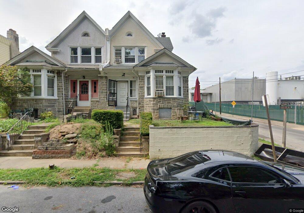
6443 Chestnut St Upper Darby, PA 19082
Estimated Value: $241,000 - $288,000
5
Beds
4
Baths
2,065
Sq Ft
$131/Sq Ft
Est. Value
About This Home
This home is located at 6443 Chestnut St, Upper Darby, PA 19082 and is currently estimated at $270,763, approximately $131 per square foot. 6443 Chestnut St is a home located in Delaware County with nearby schools including Upper Darby Kdg Center, Walter M. Senkow Elementary School, and Upper Darby High School.
Ownership History
Date
Name
Owned For
Owner Type
Purchase Details
Closed on
Oct 10, 2007
Sold by
Sayeed Mohammad A
Bought by
Sayeed Mohammad A and Hafeez Rizwana
Current Estimated Value
Purchase Details
Closed on
Jun 5, 2006
Sold by
Federal National Mortgage Association
Bought by
Sayeed Mohammed
Purchase Details
Closed on
Sep 15, 2005
Sold by
Brisbon Timothy and Brisbon Ruth
Bought by
Federal National Mortgage Association
Create a Home Valuation Report for This Property
The Home Valuation Report is an in-depth analysis detailing your home's value as well as a comparison with similar homes in the area
Home Values in the Area
Average Home Value in this Area
Purchase History
| Date | Buyer | Sale Price | Title Company |
|---|---|---|---|
| Sayeed Mohammad A | -- | None Available | |
| Sayeed Mohammed | $105,000 | Fidelity Natl Title Ins Co | |
| Federal National Mortgage Association | $25,000 | None Available |
Source: Public Records
Tax History Compared to Growth
Tax History
| Year | Tax Paid | Tax Assessment Tax Assessment Total Assessment is a certain percentage of the fair market value that is determined by local assessors to be the total taxable value of land and additions on the property. | Land | Improvement |
|---|---|---|---|---|
| 2025 | $5,681 | $134,320 | $29,050 | $105,270 |
| 2024 | $5,681 | $134,320 | $29,050 | $105,270 |
| 2023 | $5,627 | $134,320 | $29,050 | $105,270 |
| 2022 | $5,476 | $134,320 | $29,050 | $105,270 |
| 2021 | $7,383 | $134,320 | $29,050 | $105,270 |
| 2020 | $4,397 | $67,970 | $17,170 | $50,800 |
| 2019 | $4,320 | $67,970 | $17,170 | $50,800 |
| 2018 | $4,270 | $67,970 | $0 | $0 |
| 2017 | $4,159 | $67,970 | $0 | $0 |
| 2016 | $373 | $67,970 | $0 | $0 |
| 2015 | $373 | $67,970 | $0 | $0 |
| 2014 | $381 | $67,970 | $0 | $0 |
Source: Public Records
Map
Nearby Homes
- 27 Wellington Rd
- 147 Wellington Rd
- 119 Overhill Rd
- 6238 Sansom St
- 42 Kent Rd
- 6243 Market St
- 6235 Market St
- 6233 Market St
- 23 N Felton St
- 6219 Market St
- 52 N Felton St
- 59 N Felton St
- 258 S Hirst St
- 210 N Avondale St
- 58 N Hirst St
- 60 N Hirst St
- 134 Heather Rd
- 273 S Hirst St
- 6143 Walnut St
- 224 N 65th St
- 6445 Chestnut St
- 22 S Millbourne Ave
- 6449 Chestnut St
- 20 S Millbourne Ave
- 6451 Chestnut St
- 18 S Millbourne Ave
- 18 N Millbourne Ave
- 23 Glencoe Rd
- 6453 Chestnut St
- 16 S Millbourne Ave
- 21 Glencoe Rd
- 19 Glencoe Rd
- 14 S Millbourne Ave
- 17 Glencoe Rd
- 38 S Millbourne Ave
- 12 S Millbourne Ave
- 15 Glencoe Rd
- 10 S Millbourne Ave
- 13 Glencoe Rd