Estimated Value: $254,000 - $300,000
3
Beds
2
Baths
1,200
Sq Ft
$232/Sq Ft
Est. Value
About This Home
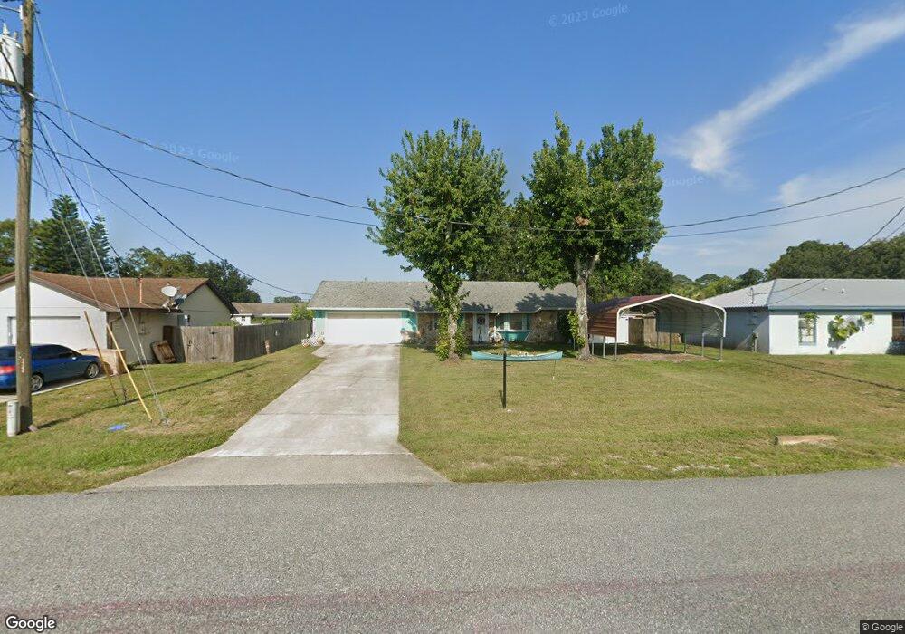
This home is located at 6443 La Brea Ave, Cocoa, FL 32927 and is currently estimated at $278,888, approximately $232 per square foot. 6443 La Brea Ave is a home located in Brevard County with nearby schools including Enterprise Elementary School, Space Coast Junior/Senior High School, and East Atlantic Prep of Brevard County.
Ownership History
Date
Name
Owned For
Owner Type
Purchase Details
Closed on
Nov 14, 2016
Sold by
Wortham Hladys and Bollen Bret
Bought by
Bollea Gladys Wortham and Bollea Bret
Current Estimated Value
Purchase Details
Closed on
Feb 10, 1995
Sold by
Thorne Karl
Bought by
Wortham Gladys and Bollea Bret
Home Financials for this Owner
Home Financials are based on the most recent Mortgage that was taken out on this home.
Original Mortgage
$8,400
Interest Rate
9.14%
Create a Home Valuation Report for This Property
The Home Valuation Report is an in-depth analysis detailing your home's value as well as a comparison with similar homes in the area
Home Values in the Area
Average Home Value in this Area
Purchase History
| Date | Buyer | Sale Price | Title Company |
|---|---|---|---|
| Bollea Gladys Wortham | -- | None Available | |
| Wortham Gladys | $68,900 | -- |
Source: Public Records
Mortgage History
| Date | Status | Borrower | Loan Amount |
|---|---|---|---|
| Previous Owner | Wortham Gladys | $8,400 |
Source: Public Records
Tax History
| Year | Tax Paid | Tax Assessment Tax Assessment Total Assessment is a certain percentage of the fair market value that is determined by local assessors to be the total taxable value of land and additions on the property. | Land | Improvement |
|---|---|---|---|---|
| 2025 | $1,437 | $115,000 | -- | -- |
| 2024 | $1,399 | $111,760 | -- | -- |
| 2023 | $1,399 | $108,510 | $0 | $0 |
| 2022 | $1,357 | $105,350 | $0 | $0 |
| 2021 | $1,360 | $102,290 | $0 | $0 |
| 2020 | $1,311 | $100,880 | $0 | $0 |
| 2019 | $1,248 | $98,620 | $0 | $0 |
| 2018 | $1,242 | $96,790 | $0 | $0 |
| 2017 | $2,252 | $120,890 | $24,000 | $96,890 |
| 2016 | $912 | $67,700 | $18,000 | $49,700 |
| 2015 | $921 | $67,230 | $15,000 | $52,230 |
| 2014 | $926 | $66,700 | $11,000 | $55,700 |
Source: Public Records
Map
Nearby Homes
- 6481 La Brea Ave
- 6438 Hudson Rd
- 5680 Banos Ave
- 5601 Banos Ave
- 5721 Beaverbrook St
- 6581 Bancroft Ave
- 6615 Dock Ave
- 6643 Emil Ave
- 6450 Ember Ave
- 0 Aruin St Unit 1222557
- 6460 Ainsworth Rd
- 6250 Ainsworth Rd
- 00 Unknown
- 5220 Holden Rd
- 23-35-21-JX-B-2 Aruin St
- 5215 Holden Rd
- 6460 Homestead Ave
- 6760 Cairo Rd
- 5221 Carrick Rd
- 6545 Addie Ave
- 6451 La Brea Ave
- 6429 La Brea Ave
- 6400 Irving Rd
- 6380 Irving Rd
- 6459 La Brea Ave
- 6415 La Brea Ave
- 5603 Ada St
- 5601 Beaverbrook St
- 5602 Ada St
- 6410 Irving Rd
- 6370 Irving Rd
- 6467 La Brea Ave Unit 4
- 6467 La Brea Ave
- 6360 Irving Rd
- 5614 Ada St
- 6420 Irving Rd
- 6410 La Brea Ave
- 6397 Irving Rd
- 6383 Irving Rd
- 6409 Irving Rd
Your Personal Tour Guide
Ask me questions while you tour the home.