6443 Locust Ln NE Magnolia, OH 44643
Estimated Value: $384,000
2
Beds
2
Baths
1,824
Sq Ft
$211/Sq Ft
Est. Value
About This Home
This home is located at 6443 Locust Ln NE, Magnolia, OH 44643 and is currently estimated at $384,000, approximately $210 per square foot. 6443 Locust Ln NE is a home located in Tuscarawas County with nearby schools including Sandy Valley Elementary School, Sandy Valley Middle School, and Sandy Valley High School.
Ownership History
Date
Name
Owned For
Owner Type
Purchase Details
Closed on
Sep 18, 1997
Sold by
Scott David A
Bought by
Trushel Thomas L and Knight Lois
Current Estimated Value
Home Financials for this Owner
Home Financials are based on the most recent Mortgage that was taken out on this home.
Original Mortgage
$160,000
Interest Rate
7.55%
Mortgage Type
New Conventional
Purchase Details
Closed on
May 22, 1991
Sold by
Scott David A and Scott Doris F
Bought by
Scott David A and Scott Doris E
Purchase Details
Closed on
Nov 20, 1990
Sold by
Trushel Thomas L and Knight Lois A
Bought by
Trushel Thomas L and Knight Lois A
Create a Home Valuation Report for This Property
The Home Valuation Report is an in-depth analysis detailing your home's value as well as a comparison with similar homes in the area
Home Values in the Area
Average Home Value in this Area
Purchase History
| Date | Buyer | Sale Price | Title Company |
|---|---|---|---|
| Trushel Thomas L | $125,000 | -- | |
| Scott David A | -- | -- | |
| Trushel Thomas L | -- | None Listed On Document |
Source: Public Records
Mortgage History
| Date | Status | Borrower | Loan Amount |
|---|---|---|---|
| Previous Owner | Trushel Thomas L | $160,000 |
Source: Public Records
Tax History Compared to Growth
Tax History
| Year | Tax Paid | Tax Assessment Tax Assessment Total Assessment is a certain percentage of the fair market value that is determined by local assessors to be the total taxable value of land and additions on the property. | Land | Improvement |
|---|---|---|---|---|
| 2024 | $2,277 | $69,040 | $11,660 | $57,380 |
| 2023 | $2,277 | $197,250 | $33,300 | $163,950 |
| 2022 | $2,485 | $69,038 | $11,655 | $57,383 |
| 2021 | $2,068 | $54,051 | $7,669 | $46,382 |
| 2020 | $2,184 | $54,051 | $7,669 | $46,382 |
| 2019 | $2,159 | $54,051 | $7,669 | $46,382 |
| 2018 | $2,152 | $51,660 | $7,330 | $44,330 |
| 2017 | $2,244 | $51,660 | $7,330 | $44,330 |
| 2016 | $2,181 | $51,660 | $7,330 | $44,330 |
| 2014 | $2,638 | $57,080 | $5,990 | $51,090 |
| 2013 | $2,581 | $57,080 | $5,990 | $51,090 |
Source: Public Records
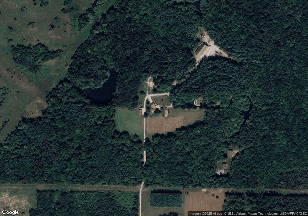
Map
Nearby Homes
- 3750 Farber St SE
- 5236 Hilltop Dr NE
- 10440 Circle Dr SE
- 5416 M Ave
- 0 Lampe Lane North E Unit 5162024
- 3799 Westbrook St SE
- 5219 N St NE
- 217 E Carrollton St
- 2251 Farber St
- 614 Levee Cir
- 1.06 Ac Vacant Lot N Lynnwood Dr
- 715 Minerva Rd
- 1.25 Ac Vacant Lot N Lynnwood Dr
- 8522 Cleveland Ave SE
- 11276 East Ave
- 11355 West Ave
- 8411 Cleveland Ave SE
- 5488 Elson St SE
- 7901 E Sparta Ave
- 1080 Downing St SW
- 6479 Locust Ln NE
- 3646 Farber St
- 6497 Locust Ln NE
- 3494 Farber St
- 3682 Farber St SE
- 3682 Farber St
- 6703 State Route 183 NE
- 6715 State Route 183 NE
- 6755 State Route 183 NE
- 6787 State Route 183 NE
- 6787 Ohio 183
- 6787 St Route 183
- 6297 State Route 183 NE
- 3696 Farber St
- 3750 Farber St
- 6414 Locust Ln NE
- 3544 Farber St
- 3777 Farber St
- 6870 State Route 183 NE
- 6357 Ohio 183