6443 Secrest Rd Wooster, OH 44691
Estimated Value: $339,000 - $367,000
3
Beds
2
Baths
1,687
Sq Ft
$210/Sq Ft
Est. Value
About This Home
This home is located at 6443 Secrest Rd, Wooster, OH 44691 and is currently estimated at $354,166, approximately $209 per square foot. 6443 Secrest Rd is a home located in Wayne County with nearby schools including Waynedale High School, Maple Grove, and STONE HILL.
Ownership History
Date
Name
Owned For
Owner Type
Purchase Details
Closed on
Nov 15, 2006
Sold by
Gaiser Christine M
Bought by
Varner Jeffrey H
Current Estimated Value
Home Financials for this Owner
Home Financials are based on the most recent Mortgage that was taken out on this home.
Original Mortgage
$152,400
Outstanding Balance
$90,904
Interest Rate
6.36%
Mortgage Type
New Conventional
Estimated Equity
$263,262
Purchase Details
Closed on
Mar 28, 1997
Sold by
Hochstetler Owen E
Bought by
Varner Jeffrey H and Gaiser Christine M
Home Financials for this Owner
Home Financials are based on the most recent Mortgage that was taken out on this home.
Original Mortgage
$16,095
Interest Rate
7.73%
Mortgage Type
New Conventional
Create a Home Valuation Report for This Property
The Home Valuation Report is an in-depth analysis detailing your home's value as well as a comparison with similar homes in the area
Home Values in the Area
Average Home Value in this Area
Purchase History
| Date | Buyer | Sale Price | Title Company |
|---|---|---|---|
| Varner Jeffrey H | -- | Transition Title Llc | |
| Varner Jeffrey H | $17,500 | -- |
Source: Public Records
Mortgage History
| Date | Status | Borrower | Loan Amount |
|---|---|---|---|
| Open | Varner Jeffrey H | $152,400 | |
| Previous Owner | Varner Jeffrey H | $16,095 |
Source: Public Records
Tax History Compared to Growth
Tax History
| Year | Tax Paid | Tax Assessment Tax Assessment Total Assessment is a certain percentage of the fair market value that is determined by local assessors to be the total taxable value of land and additions on the property. | Land | Improvement |
|---|---|---|---|---|
| 2024 | $3,934 | $107,860 | $27,620 | $80,240 |
| 2023 | $3,934 | $107,860 | $27,620 | $80,240 |
| 2022 | $3,049 | $75,960 | $19,450 | $56,510 |
| 2021 | $3,055 | $75,960 | $19,450 | $56,510 |
| 2020 | $3,089 | $75,960 | $19,450 | $56,510 |
| 2019 | $3,000 | $72,000 | $17,820 | $54,180 |
| 2018 | $3,118 | $72,000 | $17,820 | $54,180 |
| 2017 | $3,153 | $72,000 | $17,820 | $54,180 |
| 2016 | $2,791 | $62,600 | $15,490 | $47,110 |
| 2015 | $2,586 | $62,600 | $15,490 | $47,110 |
| 2014 | $2,600 | $62,600 | $15,490 | $47,110 |
| 2013 | $2,673 | $61,760 | $14,870 | $46,890 |
Source: Public Records
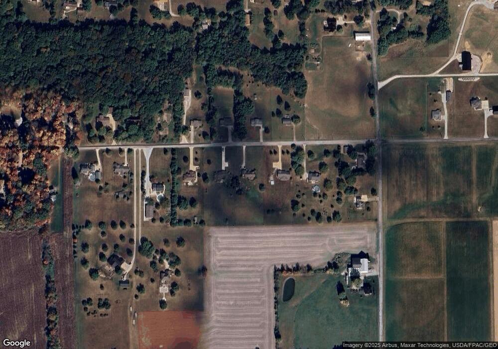
Map
Nearby Homes
- 24 Silver Pond Dr
- 5311 Canal Rd
- 3450 Secrest Rd
- 1043 N Honeytown Rd
- 660 Millborne Rd
- 3299 Crestview Dr
- 1474 N Honeytown Rd
- 3125 Dover Rd
- 4622 S Apple Creek Rd
- 4639 Westwood Dr
- 2530 Tuckahoe Rd
- 0 E Main St
- 24 Shannon Dr
- 136 Spring Run Dr
- 8191 Back Orrville Rd
- 10475 Lincoln Way E
- 1762 Pine Cove
- 1790 Pine Cove
- 2667 Eastwood Dr
- 2754 Millersburg Rd
- 6401 Secrest Rd
- 6475 Secrest Rd
- 6363 Secrest Rd
- 6416 Secrest Rd
- 6511 Secrest Rd
- 6452 Secrest Rd
- 6490 Secrest Rd
- 6378 Secrest Rd
- 6327 Secrest Rd
- 1301 Barnard Rd
- 1291 Barnard Rd
- 1225 Barnard Rd
- 6300 Secrest Rd
- 6300 Secrest Rd
- 6309 Secrest Rd
- 6283 Secrest Rd
- 1399 Barnard Rd
- 6299 Secrest Rd
- 6245 Secrest Rd
- 6258 Secrest Rd