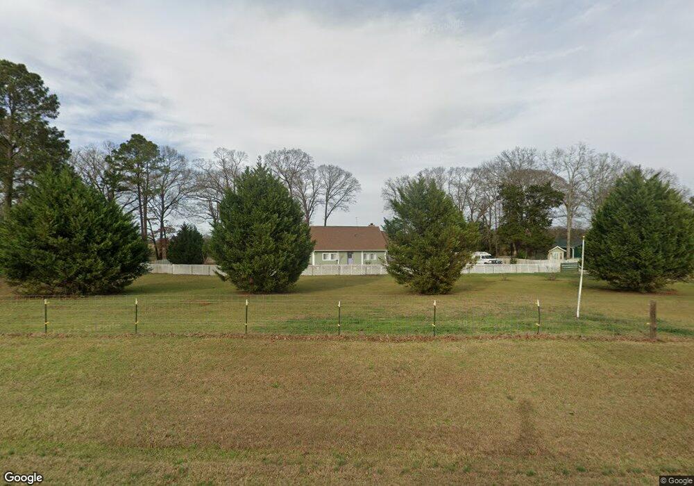
6444 Ga Highway 41 Shellman, GA 39886
Estimated Value: $185,000 - $975,000
3
Beds
2
Baths
1,608
Sq Ft
$272/Sq Ft
Est. Value
About This Home
This home is located at 6444 Ga Highway 41, Shellman, GA 39886 and is currently estimated at $436,859, approximately $271 per square foot. 6444 Ga Highway 41 is a home located in Randolph County with nearby schools including Randolph County Elementary School, Randolph Clay Middle School, and Randolph Clay High School.
Ownership History
Date
Name
Owned For
Owner Type
Purchase Details
Closed on
Mar 30, 2020
Sold by
Fernandes Virginio
Bought by
Roberts Susan R
Current Estimated Value
Purchase Details
Closed on
Jul 31, 2017
Sold by
Davis Hubert
Bought by
Fernandez Virginio
Purchase Details
Closed on
Oct 1, 2004
Sold by
First State Bank Of
Bought by
Davis Hubert
Purchase Details
Closed on
Sep 13, 2004
Sold by
Wilson Nancy and Wilson Mike
Bought by
First State Bank Of
Purchase Details
Closed on
Jul 28, 2004
Sold by
Reynolds Timothy James Etal
Bought by
First State Bank Of
Purchase Details
Closed on
May 11, 2004
Sold by
Reynolds Timothy Jam
Bought by
First State Bank Of
Purchase Details
Closed on
Sep 5, 2000
Sold by
Mclaughlin Marie W
Bought by
Reynolds Timothy Jam
Create a Home Valuation Report for This Property
The Home Valuation Report is an in-depth analysis detailing your home's value as well as a comparison with similar homes in the area
Home Values in the Area
Average Home Value in this Area
Purchase History
| Date | Buyer | Sale Price | Title Company |
|---|---|---|---|
| Roberts Susan R | $178,400 | -- | |
| Roberts Susan R | $178,400 | -- | |
| Fernandez Virginio | $175,000 | -- | |
| Fernandez Virginio | $175,000 | -- | |
| Davis Hubert | $97,800 | -- | |
| Davis Hubert | $97,800 | -- | |
| First State Bank Of | -- | -- | |
| First State Bank Of | -- | -- | |
| First State Bank Of | -- | -- | |
| First State Bank Of | -- | -- | |
| First State Bank Of | -- | -- | |
| First State Bank Of | -- | -- | |
| Reynolds Timothy Jam | $5,000 | -- | |
| Reynolds Timothy Jam | $5,000 | -- |
Source: Public Records
Tax History Compared to Growth
Tax History
| Year | Tax Paid | Tax Assessment Tax Assessment Total Assessment is a certain percentage of the fair market value that is determined by local assessors to be the total taxable value of land and additions on the property. | Land | Improvement |
|---|---|---|---|---|
| 2024 | $2,838 | $73,352 | $5,360 | $67,992 |
| 2023 | $1,958 | $71,992 | $5,360 | $66,632 |
| 2022 | $2,477 | $71,992 | $5,360 | $66,632 |
| 2021 | $1,674 | $48,600 | $5,371 | $43,229 |
| 2020 | $985 | $48,600 | $5,371 | $43,229 |
| 2019 | $981 | $48,600 | $5,371 | $43,229 |
| 2018 | $1,716 | $48,600 | $5,371 | $43,229 |
| 2017 | $1,722 | $48,600 | $5,371 | $43,229 |
| 2016 | $1,687 | $47,408 | $4,179 | $43,229 |
| 2015 | -- | $49,777 | $4,179 | $45,598 |
| 2014 | -- | $49,341 | $4,179 | $45,162 |
| 2013 | -- | $45,869 | $4,179 | $41,690 |
Source: Public Records
Map
Nearby Homes