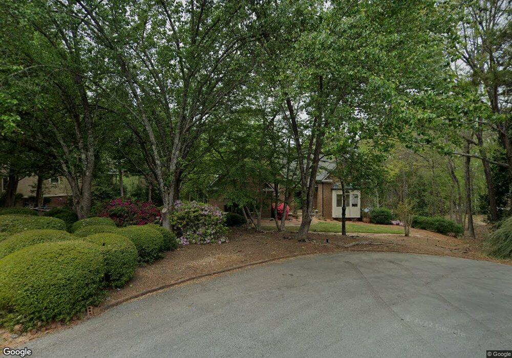
6445 Cannon Dr Flowery Branch, GA 30542
Estimated Value: $1,023,000 - $1,432,000
4
Beds
3
Baths
2,790
Sq Ft
$415/Sq Ft
Est. Value
About This Home
This home is located at 6445 Cannon Dr, Flowery Branch, GA 30542 and is currently estimated at $1,159,044, approximately $415 per square foot. 6445 Cannon Dr is a home located in Hall County with nearby schools including Flowery Branch Elementary School, West Hall Middle School, and West Hall High School.
Ownership History
Date
Name
Owned For
Owner Type
Purchase Details
Closed on
Mar 26, 2003
Sold by
Schwartz A Perry
Bought by
Schwartz Schwartz A and Schwartz Valerie
Current Estimated Value
Home Financials for this Owner
Home Financials are based on the most recent Mortgage that was taken out on this home.
Original Mortgage
$472,500
Outstanding Balance
$193,572
Interest Rate
5.12%
Mortgage Type
New Conventional
Estimated Equity
$965,472
Create a Home Valuation Report for This Property
The Home Valuation Report is an in-depth analysis detailing your home's value as well as a comparison with similar homes in the area
Home Values in the Area
Average Home Value in this Area
Purchase History
| Date | Buyer | Sale Price | Title Company |
|---|---|---|---|
| Schwartz Schwartz A | -- | -- |
Source: Public Records
Mortgage History
| Date | Status | Borrower | Loan Amount |
|---|---|---|---|
| Open | Schwartz Schwartz A | $472,500 |
Source: Public Records
Tax History Compared to Growth
Tax History
| Year | Tax Paid | Tax Assessment Tax Assessment Total Assessment is a certain percentage of the fair market value that is determined by local assessors to be the total taxable value of land and additions on the property. | Land | Improvement |
|---|---|---|---|---|
| 2024 | $3,627 | $437,840 | $195,000 | $242,840 |
| 2023 | $3,288 | $415,720 | $195,000 | $220,720 |
| 2022 | $2,626 | $279,040 | $86,640 | $192,400 |
| 2021 | $2,675 | $278,400 | $86,640 | $191,760 |
| 2020 | $2,664 | $271,200 | $86,640 | $184,560 |
| 2019 | $2,668 | $264,840 | $86,640 | $178,200 |
| 2018 | $7,013 | $246,800 | $79,520 | $167,280 |
| 2017 | $6,723 | $239,040 | $79,520 | $159,520 |
| 2016 | $6,561 | $239,040 | $79,520 | $159,520 |
| 2015 | $6,613 | $239,040 | $79,520 | $159,520 |
| 2014 | $6,613 | $239,040 | $79,520 | $159,520 |
Source: Public Records
Map
Nearby Homes
- 6185 Old Stringer Rd
- 6026 Jim Crow Rd
- 6144 Scott Dr
- 6144 Scott Dr Unit 8
- 6025 River Oaks Dr
- 6137 White Oak Dr
- 6135 White Oak Dr
- 5993 Overby Rd
- 5837 Meadow View Ln
- 5514 Mainsail Way
- 5867 Meadow View Ln
- 5610 Point Dr W
- 5359 Point Dr S
- 5729 Jim Crow Rd
- 5580 Point West Dr
- 6024 Park Bay Ct
- 5411 Mayflower Ct
- 5704 Sallee Cir
- 6441 Cannon Dr
- 6450 Cannon Dr
- 6446 Cannon Dr
- 6442 Cannon Dr
- 6433 Cannon Dr
- 6429 Cannon Dr
- 6438 Cannon Dr
- 6421 Cannon Dr
- 6424 Cannon Dr
- 6416 Cannon Dr
- 6220 Costa Lake Point
- 6156 Old Federal Rd
- 6224 Costa Lake Point
- 6216 Costa Lake Point
- 6126 Old Federal Rd
- 6110 Old Federal Rd
- 0 Old Federal Rd Unit 7468068
- 0 Old Federal Rd Unit 3161506
- 0 Old Federal Rd Unit 7303229
- 6204 Costa Lake Point