Estimated Value: $269,000 - $379,000
Studio
--
Bath
--
Sq Ft
326,700
Sq Ft Lot
About This Home
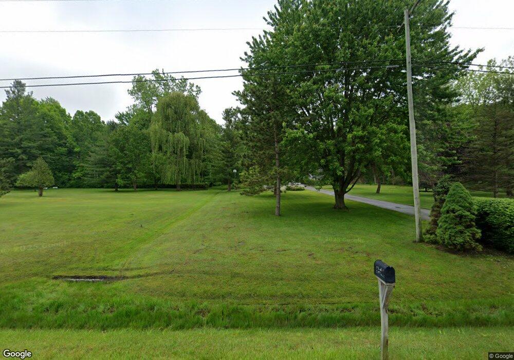
This home is located at 6445 W Frances Rd, Clio, MI 48420 and is currently estimated at $329,054. 6445 W Frances Rd is a home located in Genesee County with nearby schools including George R. Carter Middle School and Clio Area High School.
Ownership History
Date
Name
Owned For
Owner Type
Purchase Details
Closed on
May 6, 2021
Sold by
Sauser Kathleen and Skarbek Valrie
Bought by
Lonsway Properties Llc
Current Estimated Value
Purchase Details
Closed on
Mar 3, 2010
Sold by
Garsreck John
Bought by
The Trust Of John Garsreck
Purchase Details
Closed on
Feb 25, 2010
Sold by
The Trust Of John Garsreck
Bought by
Garsreck John
Purchase Details
Closed on
Nov 6, 2006
Sold by
Garsteck Stephanie Ann
Bought by
Garsteck John Michael
Purchase Details
Closed on
Oct 14, 2005
Sold by
Garsteck John M
Bought by
Garsteck John M and Trust Of John M Garsteck
Purchase Details
Closed on
Mar 17, 2004
Sold by
Garsteck Stephanie Ann
Bought by
Garsteck John Michael
Create a Home Valuation Report for This Property
The Home Valuation Report is an in-depth analysis detailing your home's value as well as a comparison with similar homes in the area
Home Values in the Area
Average Home Value in this Area
Purchase History
| Date | Buyer | Sale Price | Title Company |
|---|---|---|---|
| Lonsway Properties Llc | $355,526 | None Available | |
| The Trust Of John Garsreck | -- | Bell Title Agency | |
| Garsreck John | -- | Bell | |
| Garsteck John Michael | -- | None Available | |
| Garsteck John M | -- | None Available | |
| Garsteck John Michael | -- | -- | |
| Garsteck John Michael | -- | -- | |
| Garsteck John Michael | -- | -- | |
| Garsteck John Michael | -- | -- | |
| Garsteck John Michael | -- | -- |
Source: Public Records
Tax History
| Year | Tax Paid | Tax Assessment Tax Assessment Total Assessment is a certain percentage of the fair market value that is determined by local assessors to be the total taxable value of land and additions on the property. | Land | Improvement |
|---|---|---|---|---|
| 2025 | $4,002 | $166,300 | $0 | $0 |
| 2024 | $1,705 | $155,200 | $0 | $0 |
| 2023 | $1,627 | $141,200 | $0 | $0 |
| 2022 | $3,581 | $123,800 | $0 | $0 |
| 2021 | $3,536 | $115,300 | $0 | $0 |
| 2020 | $1,489 | $110,000 | $0 | $0 |
| 2019 | $1,296 | $101,000 | $0 | $0 |
| 2018 | $3,126 | $92,900 | $0 | $0 |
| 2017 | $2,998 | $91,700 | $0 | $0 |
| 2016 | $2,973 | $92,100 | $0 | $0 |
| 2015 | $2,666 | $77,400 | $0 | $0 |
| 2014 | $1,118 | $75,900 | $0 | $0 |
| 2012 | -- | $68,900 | $68,900 | $0 |
Source: Public Records
Map
Nearby Homes
- 7250 Frances Rd
- 5430 W Frances Rd
- 6270 Tommy Trail
- 7267 109th St
- 7181 W Mount Morris Rd
- 7452 Dodge Rd
- 8171 N Linden Rd
- 7151 N Elms Rd
- 4449 W Frances Rd
- 7067 W Stanley Rd
- 5186 W Wilson Rd
- 7410 Wilson Rd
- 5012 W Stanley Rd
- 9061 N Mckinley Rd
- 4020 W Frances Rd
- 9222 N Mckinley Rd
- 169 Apollo Cir Unit 169
- 8522 Tim Tam Trail
- 255 Grissom Ct
- 4500 W Wilson Rd
- 6446 W Frances Rd
- 6387 W Frances Rd
- 6377 W Frances Rd
- 6365 W Frances Rd
- 6360 W Frances Rd
- 6386 W Frances Rd
- 6350 W Frances Rd
- 6402 W Frances Rd
- 6357 W Frances Rd
- 6340 W Frances Rd
- 6349 W Frances Rd
- 6330 W Frances Rd
- 6343 W Frances Rd
- 6320 W Frances Rd
- 6335 W Frances Rd
- 6418 W Frances Rd
- 6310 W Frances Rd
- 6325 W Frances Rd
- 6300 W Frances Rd
- 6368 W Frances Rd
Your Personal Tour Guide
Ask me questions while you tour the home.