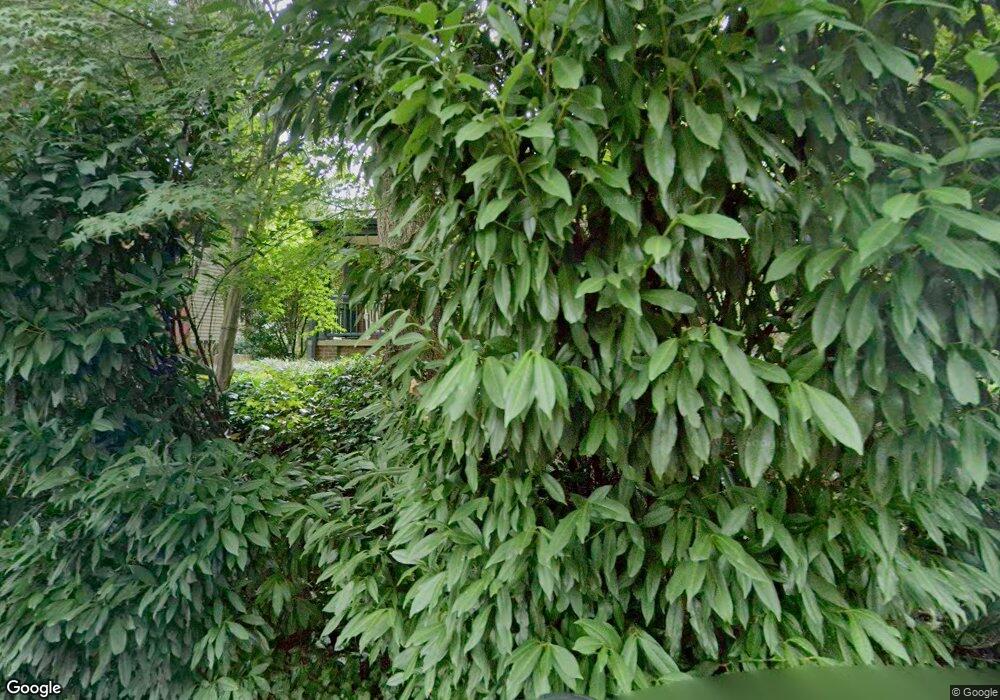
6446 Brookes Ln Bethesda, MD 20816
Brookmont NeighborhoodEstimated Value: $1,126,000 - $1,366,000
--
Bed
3
Baths
2,033
Sq Ft
$605/Sq Ft
Est. Value
About This Home
This home is located at 6446 Brookes Ln, Bethesda, MD 20816 and is currently estimated at $1,230,239, approximately $605 per square foot. 6446 Brookes Ln is a home located in Montgomery County with nearby schools including Bannockburn Elementary School, Thomas W. Pyle Middle School, and Walt Whitman High School.
Ownership History
Date
Name
Owned For
Owner Type
Purchase Details
Closed on
Dec 18, 2014
Sold by
Holmes Crawford Gilbert and Stoner Crawford Louise
Bought by
Holmes Crawford Gilbert and The Gilbert Holmes Crawford Re
Current Estimated Value
Purchase Details
Closed on
May 19, 1994
Sold by
Haupt R W
Bought by
Crawford Gilbert H
Home Financials for this Owner
Home Financials are based on the most recent Mortgage that was taken out on this home.
Original Mortgage
$250,000
Interest Rate
8.44%
Create a Home Valuation Report for This Property
The Home Valuation Report is an in-depth analysis detailing your home's value as well as a comparison with similar homes in the area
Home Values in the Area
Average Home Value in this Area
Purchase History
| Date | Buyer | Sale Price | Title Company |
|---|---|---|---|
| Holmes Crawford Gilbert | -- | None Available | |
| Crawford Gilbert H | $326,410 | -- |
Source: Public Records
Mortgage History
| Date | Status | Borrower | Loan Amount |
|---|---|---|---|
| Closed | Crawford Gilbert H | $250,000 |
Source: Public Records
Tax History Compared to Growth
Tax History
| Year | Tax Paid | Tax Assessment Tax Assessment Total Assessment is a certain percentage of the fair market value that is determined by local assessors to be the total taxable value of land and additions on the property. | Land | Improvement |
|---|---|---|---|---|
| 2025 | $10,918 | $921,300 | $697,700 | $223,600 |
| 2024 | $10,918 | $884,900 | $0 | $0 |
| 2023 | $9,787 | $848,500 | $0 | $0 |
| 2022 | $9,138 | $812,100 | $634,300 | $177,800 |
| 2021 | $8,802 | $801,500 | $0 | $0 |
| 2020 | $8,802 | $790,900 | $0 | $0 |
| 2019 | $8,648 | $780,300 | $604,100 | $176,200 |
| 2018 | $8,575 | $775,167 | $0 | $0 |
| 2017 | $8,662 | $770,033 | $0 | $0 |
| 2016 | -- | $764,900 | $0 | $0 |
| 2015 | $8,178 | $739,933 | $0 | $0 |
| 2014 | $8,178 | $714,967 | $0 | $0 |
Source: Public Records
Map
Nearby Homes
- 4928 Sentinel Dr
- 4928 Sentinel Dr
- 4956 Sentinel Dr Unit 9106
- 5819 Madaket Rd
- 6506 Ridge Dr
- 5103 Sentinel Dr
- 4960 Sentinel Dr
- 4974 Sentinel Dr
- 5340 Westpath Way
- 5101 Baltan Rd
- 5144 Westpath Way
- 1159 Crest Ln
- 1175 Crest Ln
- 5205 Westpath Way
- 5013 Nahant St
- 706 Blueberry Hill Rd
- 5109 River Hill Rd
- 5605 Wood Way
- 1332 Skipwith Rd
- 1205 Crest Ln
- 6506 Brookes Ln
- 6504 Brookes Ln
- 6502 Brookes Ln
- 6440 Brookes Ln
- 6447 Brookes Ln
- 6448 Brookes Ln
- 6438 Brookes Ln
- 4301 Maryland Ave
- 6449 Brookes Ln
- 592 Brookes Ln
- 604 Brookes Ln
- 602 Brookes Ln
- 606 Brookes Ln
- 610 Brookes Ln
- 598 Brookes Ln
- 594 Brookes Ln
- 0 Brookes Ln
- 6434 Brookes Ln
- 6451 Brookes Ln
- 4302 Locust Ln
