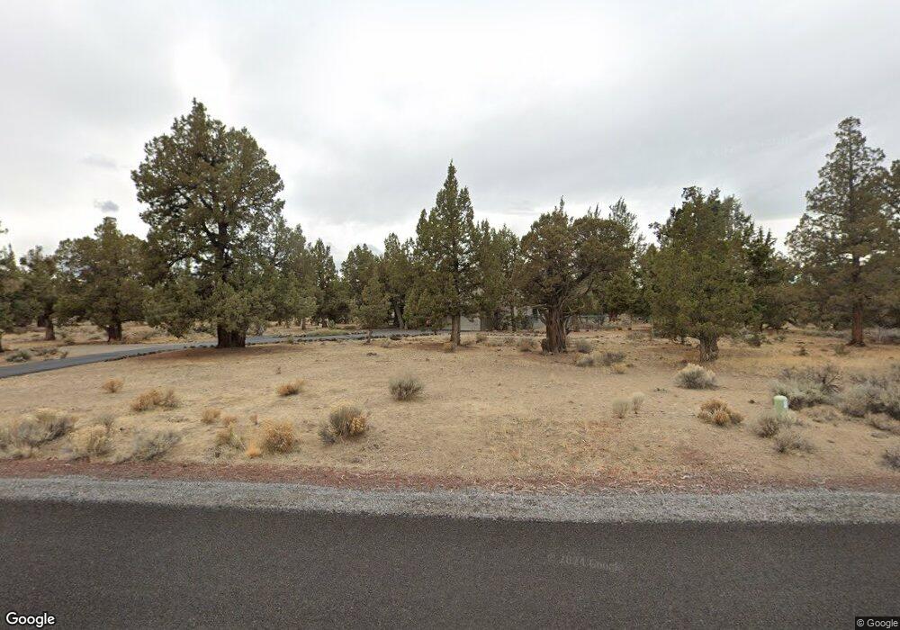
Estimated Value: $914,130 - $1,021,000
4
Beds
3
Baths
2,703
Sq Ft
$359/Sq Ft
Est. Value
About This Home
This home is located at 64463 Mcgrath Rd, Bend, OR 97701 and is currently estimated at $969,283, approximately $358 per square foot. 64463 Mcgrath Rd is a home located in Deschutes County with nearby schools including Tumalo Community School, Obsidian Middle School, and Ridgeview High School.
Ownership History
Date
Name
Owned For
Owner Type
Purchase Details
Closed on
May 7, 2018
Sold by
Mercer Michael and Mercer Pamela J
Bought by
Michael And Pamela Mercer Joint Trust and Mercer
Current Estimated Value
Purchase Details
Closed on
Apr 26, 2018
Sold by
Mercer Michael and Mercer Pamela Joanne
Bought by
Mercer Michael and Mercer Pamela J
Create a Home Valuation Report for This Property
The Home Valuation Report is an in-depth analysis detailing your home's value as well as a comparison with similar homes in the area
Purchase History
| Date | Buyer | Sale Price | Title Company |
|---|---|---|---|
| Michael And Pamela Mercer Joint Trust | -- | None Listed On Document | |
| Mercer Michael | -- | None Available |
Source: Public Records
Tax History Compared to Growth
Tax History
| Year | Tax Paid | Tax Assessment Tax Assessment Total Assessment is a certain percentage of the fair market value that is determined by local assessors to be the total taxable value of land and additions on the property. | Land | Improvement |
|---|---|---|---|---|
| 2025 | $4,896 | $312,100 | -- | -- |
| 2024 | $4,681 | $303,010 | -- | -- |
| 2023 | $5,959 | $396,160 | $0 | $0 |
| 2022 | $5,483 | $373,430 | $0 | $0 |
| 2021 | $5,481 | $362,560 | $0 | $0 |
| 2020 | $5,211 | $362,560 | $0 | $0 |
| 2019 | $5,058 | $352,000 | $0 | $0 |
| 2018 | $4,937 | $341,750 | $0 | $0 |
| 2017 | $4,715 | $324,010 | $0 | $0 |
| 2016 | $4,662 | $314,580 | $0 | $0 |
| 2015 | $4,517 | $305,420 | $0 | $0 |
| 2014 | $4,399 | $296,530 | $0 | $0 |
Source: Public Records
Map
Nearby Homes
- 64742 Sylvan Loop
- 21665 Dale Rd
- 64401 Deschutes Market Rd
- 63805 NE Cricketwood Rd
- 63420 Gentry Loop
- 63610 Deschutes Market Rd
- 63493 Gentry Loop
- 65140 78th St
- 64100 N Highway 97 Unit 16
- 64100 N Highway 97 Unit 14
- 65299 85th St
- 68334 Conquest Rd Unit Lot 1
- 63425 Deschutes Market Rd
- 65050 92nd St
- 65415 78th St
- 65432 78th St
- 65605 61st St
- 63930 N Highway 97 Unit 42
- 65665 SW 61st St
- 22835 Latigo Ct
- 21862 Boonesborough Dr
- 21862 Boones Borough Dr
- 64481 Mcgrath Rd
- 64466 Mcgrath Rd
- 64433 Mcgrath Rd
- 21865 Boonesborough Dr
- 21865 Boones Borough Dr
- 64478 Mcgrath Rd
- 64460 Mcgrath Rd
- 21883 Boones Borough Dr
- 21883 Boonesborough Dr
- 21834 Boones Borough Dr
- 64417 Mcgrath Rd
- 64486 Mcgrath Rd
- 64465 Sylvan Loop
- 64491 Mcgrath Rd
- 21845 Boones Borough Dr
- 21845 Boonesborough Dr
- 21907 Dee Dr
- 21885 Dee Dr
