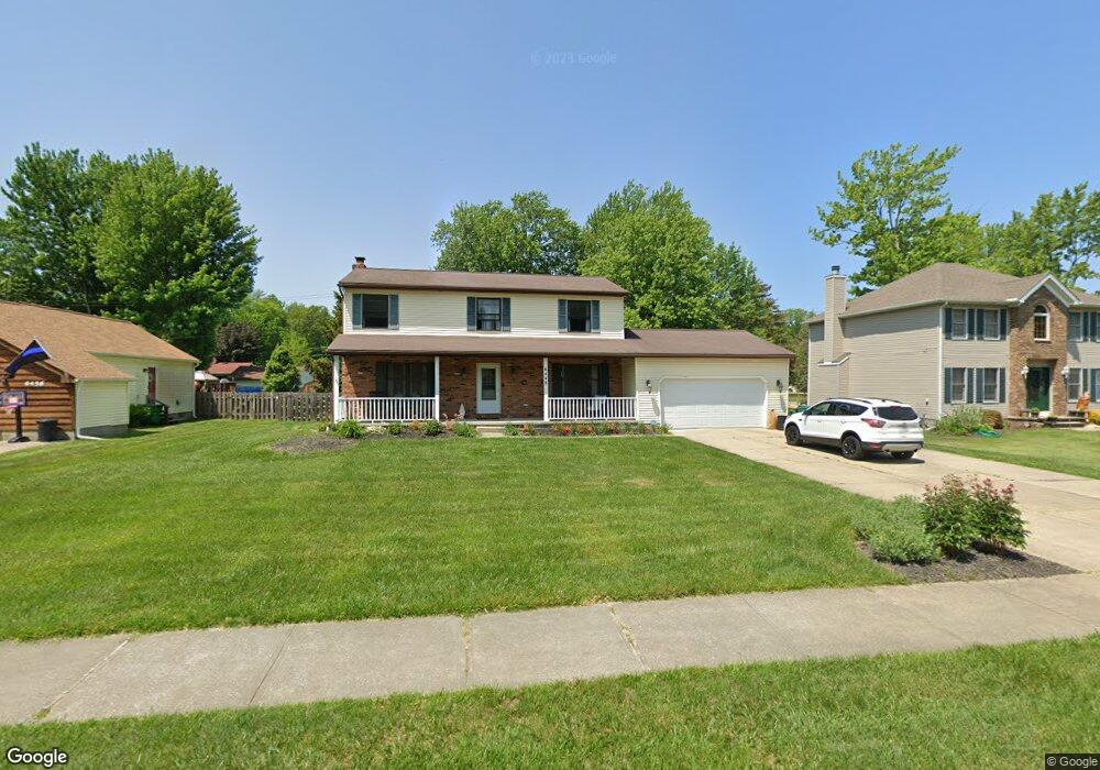
6448 Dawson Blvd Mentor, OH 44060
Estimated Value: $361,025 - $384,000
4
Beds
3
Baths
1,082
Sq Ft
$345/Sq Ft
Est. Value
About This Home
This home is located at 6448 Dawson Blvd, Mentor, OH 44060 and is currently estimated at $373,256, approximately $344 per square foot. 6448 Dawson Blvd is a home located in Lake County with nearby schools including Bellflower Elementary School, Shore Middle School, and Mentor High School.
Ownership History
Date
Name
Owned For
Owner Type
Purchase Details
Closed on
Nov 15, 2005
Sold by
Paragon Management Group
Bought by
Luptak Joseph and Luptak Sharon
Current Estimated Value
Home Financials for this Owner
Home Financials are based on the most recent Mortgage that was taken out on this home.
Original Mortgage
$46,890
Interest Rate
5.73%
Mortgage Type
Stand Alone Second
Purchase Details
Closed on
Jun 20, 2005
Sold by
Sluga Allen J and Sluga Marie
Bought by
Paragon Management Group
Home Financials for this Owner
Home Financials are based on the most recent Mortgage that was taken out on this home.
Original Mortgage
$186,000
Interest Rate
5.82%
Mortgage Type
Purchase Money Mortgage
Purchase Details
Closed on
Jan 1, 1990
Bought by
Sluga Marie
Create a Home Valuation Report for This Property
The Home Valuation Report is an in-depth analysis detailing your home's value as well as a comparison with similar homes in the area
Home Values in the Area
Average Home Value in this Area
Purchase History
| Date | Buyer | Sale Price | Title Company |
|---|---|---|---|
| Luptak Joseph | $234,500 | Homestar Title Agency Inc | |
| Paragon Management Group | $168,000 | Homestar Title Agency Inc | |
| Sluga Marie | -- | -- |
Source: Public Records
Mortgage History
| Date | Status | Borrower | Loan Amount |
|---|---|---|---|
| Closed | Luptak Joseph | $46,890 | |
| Open | Luptak Joseph | $187,560 | |
| Closed | Paragon Management Group | $186,000 |
Source: Public Records
Tax History
| Year | Tax Paid | Tax Assessment Tax Assessment Total Assessment is a certain percentage of the fair market value that is determined by local assessors to be the total taxable value of land and additions on the property. | Land | Improvement |
|---|---|---|---|---|
| 2025 | -- | $112,720 | $19,810 | $92,910 |
| 2024 | -- | $112,720 | $19,810 | $92,910 |
| 2023 | $9,010 | $86,710 | $16,240 | $70,470 |
| 2022 | $3,995 | $86,710 | $16,240 | $70,470 |
| 2021 | $4,006 | $86,710 | $16,240 | $70,470 |
| 2020 | $3,872 | $73,480 | $13,760 | $59,720 |
| 2019 | $4,250 | $73,480 | $13,760 | $59,720 |
| 2018 | $3,988 | $60,870 | $19,830 | $41,040 |
| 2017 | $3,738 | $60,870 | $19,830 | $41,040 |
| 2016 | $3,714 | $60,870 | $19,830 | $41,040 |
| 2015 | $3,049 | $60,870 | $19,830 | $41,040 |
| 2014 | $2,995 | $58,920 | $19,830 | $39,090 |
| 2013 | $2,998 | $58,920 | $19,830 | $39,090 |
Source: Public Records
Map
Nearby Homes
- 6503 Brooks Blvd
- 6452 Brooks Blvd
- 6443 Chase Dr
- 7723 Rutland Dr
- 6239 Dunbar Dr
- 6484 Elmwood Rd
- 7506 Jeremy Ave
- 7400 N Chestnut Commons Dr
- 6082 Andrews Rd
- 7772 Barnaby Ln
- 6270 Cumberland Dr
- 6853 Colonial Dr Unit A
- 8067 Independence Dr Unit D
- 6595 Devonshire Ct
- 7992 Puritan Dr Unit 76-C
- 8031 Munson Rd
- 7505 Dahlia Dr
- 7627 Newton Dr
- 7260 Port Royal Ct
- 7972 Colonial Dr Unit 89C
- 6456 Dawson Blvd
- 6440 Dawson Blvd
- 6467 Brooks Blvd
- 6457 Brooks Blvd
- 6473 Brooks Blvd
- 6464 Dawson Blvd
- 6447 Brooks Blvd
- 6477 Brooks Blvd
- 6439 Dawson Blvd
- 6485 Brooks Blvd
- 6431 Dawson Blvd
- 6430 Dawson Blvd
- 6447 Dawson Blvd
- 6472 Dawson Blvd
- 6443 Brooks Blvd
- 6489 Brooks Blvd
- 6455 Dawson Blvd
- 6437 Brooks Blvd
- 6421 Dawson Blvd
- 6422 Dawson Blvd
Your Personal Tour Guide
Ask me questions while you tour the home.