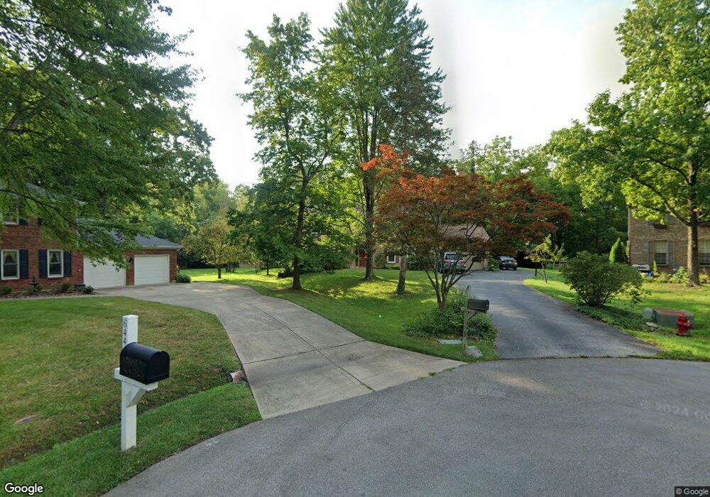
6448 Paxton Woods Dr Loveland, OH 45140
Outer Loveland NeighborhoodEstimated Value: $496,542 - $522,000
4
Beds
3
Baths
2,504
Sq Ft
$205/Sq Ft
Est. Value
About This Home
This home is located at 6448 Paxton Woods Dr, Loveland, OH 45140 and is currently estimated at $512,386, approximately $204 per square foot. 6448 Paxton Woods Dr is a home located in Clermont County with nearby schools including Loveland Primary School, Loveland Elementary School, and Loveland Intermediate School.
Ownership History
Date
Name
Owned For
Owner Type
Purchase Details
Closed on
Nov 2, 2000
Sold by
Larson Edwin R
Bought by
Richardson Mark L and Richardson Kimberly S
Current Estimated Value
Home Financials for this Owner
Home Financials are based on the most recent Mortgage that was taken out on this home.
Original Mortgage
$148,000
Outstanding Balance
$54,846
Interest Rate
7.96%
Mortgage Type
New Conventional
Estimated Equity
$457,540
Purchase Details
Closed on
Jan 1, 1989
Purchase Details
Closed on
Jun 1, 1985
Create a Home Valuation Report for This Property
The Home Valuation Report is an in-depth analysis detailing your home's value as well as a comparison with similar homes in the area
Home Values in the Area
Average Home Value in this Area
Purchase History
| Date | Buyer | Sale Price | Title Company |
|---|---|---|---|
| Richardson Mark L | $185,000 | -- | |
| -- | $152,900 | -- | |
| -- | $122,500 | -- |
Source: Public Records
Mortgage History
| Date | Status | Borrower | Loan Amount |
|---|---|---|---|
| Open | Richardson Mark L | $148,000 |
Source: Public Records
Tax History Compared to Growth
Tax History
| Year | Tax Paid | Tax Assessment Tax Assessment Total Assessment is a certain percentage of the fair market value that is determined by local assessors to be the total taxable value of land and additions on the property. | Land | Improvement |
|---|---|---|---|---|
| 2024 | $6,353 | $127,190 | $23,940 | $103,250 |
| 2023 | $6,470 | $127,190 | $23,940 | $103,250 |
| 2022 | $5,924 | $97,690 | $18,380 | $79,310 |
| 2021 | $5,935 | $97,690 | $18,380 | $79,310 |
| 2020 | $5,952 | $97,690 | $18,380 | $79,310 |
| 2019 | $4,763 | $74,000 | $16,630 | $57,370 |
| 2018 | $4,789 | $74,000 | $16,630 | $57,370 |
| 2017 | $4,526 | $74,000 | $16,630 | $57,370 |
| 2016 | $4,526 | $65,450 | $14,700 | $50,750 |
| 2015 | $4,344 | $65,450 | $14,700 | $50,750 |
| 2014 | $4,344 | $65,450 | $14,700 | $50,750 |
| 2013 | $4,456 | $70,950 | $15,750 | $55,200 |
Source: Public Records
Map
Nearby Homes
- 6379 Derbyshire Ln
- 1513 Charleston Ln
- 1146 Clover Field Dr
- 5937 Firm Stance Dr
- 1331 Harbor Cove
- 1113 Clover Field Dr
- 6149 Century Farm Dr
- 1152 Diekmeyer Ln
- 1140 Weber Rd
- 962 Paul Vista Dr
- 899 Murle Ln
- 802 Andrea Dr
- 6469 Brittany Ln
- 955 Paul Vista Dr
- 2013 Weber Rd
- 709 Middleton Way
- 1809 Wheatfield Way
- 1803 Wheatfield Way
- 6211 Spires Dr
- 5893 Meadow Lark Ct
- 6447 Paxton Woods Dr
- 6444 Paxton Woods Dr
- 6440 Paxton Woods Dr
- 6445 Paxton Woods Dr
- 6441 Paxton Woods Dr
- 6543 Cedar Ridge Dr
- 6436 Paxton Woods Dr
- 1522 Georgetown Rd
- 1520 Georgetown Rd
- 6437 Paxton Woods Dr
- 6539 Cedar Ridge Dr
- 6345 Dustywind Ln
- 1524 Georgetown Rd
- 6547 Cedar Ridge Dr
- 1725 Old Farm Dr
- 6535 Cedar Ridge Dr
- 850 Old Mill Dr
- 1727 Old Farm Dr
- 1526 Georgetown Rd
- 1723 Old Farm Dr