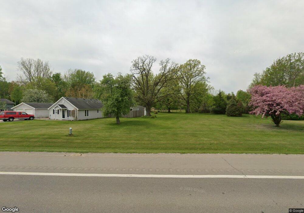
6448 State Rd Vassar, MI 48768
Estimated Value: $197,053 - $236,000
2
Beds
1
Bath
1,284
Sq Ft
$167/Sq Ft
Est. Value
About This Home
This home is located at 6448 State Rd, Vassar, MI 48768 and is currently estimated at $214,013, approximately $166 per square foot. 6448 State Rd is a home located in Tuscola County with nearby schools including Central School, Vassar Junior High School, and Vassar Senior High School.
Ownership History
Date
Name
Owned For
Owner Type
Purchase Details
Closed on
Mar 25, 2011
Sold by
Duncan Robert N
Bought by
Eaton Terry Lee and Eaton Julie
Current Estimated Value
Purchase Details
Closed on
Aug 5, 2005
Sold by
Schwab Victor G
Bought by
Duncan Robert N
Home Financials for this Owner
Home Financials are based on the most recent Mortgage that was taken out on this home.
Original Mortgage
$90,000
Interest Rate
5.66%
Mortgage Type
Unknown
Create a Home Valuation Report for This Property
The Home Valuation Report is an in-depth analysis detailing your home's value as well as a comparison with similar homes in the area
Home Values in the Area
Average Home Value in this Area
Purchase History
| Date | Buyer | Sale Price | Title Company |
|---|---|---|---|
| Eaton Terry Lee | -- | None Available | |
| Duncan Robert N | $136,000 | Centenial Title Insurance Ag |
Source: Public Records
Mortgage History
| Date | Status | Borrower | Loan Amount |
|---|---|---|---|
| Previous Owner | Duncan Robert N | $90,000 |
Source: Public Records
Tax History Compared to Growth
Tax History
| Year | Tax Paid | Tax Assessment Tax Assessment Total Assessment is a certain percentage of the fair market value that is determined by local assessors to be the total taxable value of land and additions on the property. | Land | Improvement |
|---|---|---|---|---|
| 2025 | $1,417 | $98,200 | $0 | $0 |
| 2024 | $1,417 | $96,200 | $0 | $0 |
| 2023 | $1,602 | $87,300 | $0 | $0 |
| 2022 | $1,508 | $74,200 | $0 | $0 |
| 2021 | $1,458 | $69,100 | $0 | $0 |
| 2020 | $1,449 | $64,900 | $0 | $0 |
| 2019 | $1,432 | $59,000 | $0 | $0 |
| 2018 | $1,303 | $58,700 | $0 | $0 |
| 2017 | $1,296 | $57,900 | $0 | $0 |
| 2016 | $1,258 | $56,200 | $0 | $0 |
| 2015 | $3 | $51,100 | $0 | $0 |
| 2014 | $3 | $48,000 | $0 | $0 |
| 2013 | $3 | $48,000 | $0 | $0 |
Source: Public Records
Map
Nearby Homes
- 0 Evergreen Dr
- 001 Evergreen Dr
- 024 Evergreen Dr
- 022 Evergreen Dr
- 002 Evergreen Dr
- 6234 Pine Ave
- 6685 State Rd
- 5446 Rupprecht Rd
- 6755 Hess Rd
- 321 Gaway St
- 7118 Irish Rd
- 5852 Pinkerton Rd
- 3606 Smokey Ridge S Vassar Rd
- 452 Birch Rd
- 424 Goodrich St
- 244 S Sherman St
- #0047 V L Maplegrove Ln
- #0079 V L Natures Nest Rd
- #0092 V L Nature's Trail Rd
- #0103 V L Nature's Nest