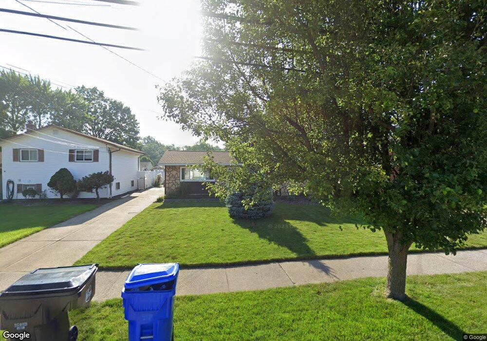
6449 Scott Dr Brookpark, OH 44142
Estimated Value: $209,352 - $270,000
3
Beds
1
Bath
1,412
Sq Ft
$169/Sq Ft
Est. Value
About This Home
This home is located at 6449 Scott Dr, Brookpark, OH 44142 and is currently estimated at $238,088, approximately $168 per square foot. 6449 Scott Dr is a home located in Cuyahoga County with nearby schools including Berea-Midpark Middle School, Berea-Midpark High School, and The Academy of St. Bartholomew.
Ownership History
Date
Name
Owned For
Owner Type
Purchase Details
Closed on
Aug 1, 1991
Sold by
Dill Steve M and Dill Tressa C
Bought by
Carnes James O and Carnes Tina M
Current Estimated Value
Purchase Details
Closed on
Dec 12, 1985
Sold by
Fleming Rodney
Bought by
Dill Steve M and Dill Tressa C
Purchase Details
Closed on
Aug 22, 1984
Sold by
Fleming Rodney
Bought by
Fleming Rodney
Purchase Details
Closed on
Apr 3, 1978
Sold by
Rufin Martha A
Bought by
Fleming Rodney
Purchase Details
Closed on
Jan 1, 1975
Bought by
Rufin Martha A
Create a Home Valuation Report for This Property
The Home Valuation Report is an in-depth analysis detailing your home's value as well as a comparison with similar homes in the area
Home Values in the Area
Average Home Value in this Area
Purchase History
| Date | Buyer | Sale Price | Title Company |
|---|---|---|---|
| Carnes James O | -- | -- | |
| Dill Steve M | $57,000 | -- | |
| Fleming Rodney | -- | -- | |
| Fleming Rodney | $44,000 | -- | |
| Rufin Martha A | -- | -- |
Source: Public Records
Tax History
| Year | Tax Paid | Tax Assessment Tax Assessment Total Assessment is a certain percentage of the fair market value that is determined by local assessors to be the total taxable value of land and additions on the property. | Land | Improvement |
|---|---|---|---|---|
| 2024 | $3,405 | $67,515 | $12,075 | $55,440 |
| 2023 | $2,961 | $48,620 | $10,400 | $38,220 |
| 2022 | $2,941 | $48,620 | $10,400 | $38,220 |
| 2021 | $2,923 | $48,620 | $10,400 | $38,220 |
| 2020 | $2,638 | $38,610 | $8,260 | $30,350 |
| 2019 | $2,559 | $110,300 | $23,600 | $86,700 |
| 2018 | $2,548 | $38,610 | $8,260 | $30,350 |
| 2017 | $2,482 | $34,730 | $7,110 | $27,620 |
| 2016 | $2,461 | $34,730 | $7,110 | $27,620 |
| 2015 | -- | $34,730 | $7,110 | $27,620 |
| 2014 | -- | $36,540 | $7,490 | $29,050 |
Source: Public Records
Map
Nearby Homes
- 6490 Grosse Dr
- 6572 Liberty Bell Dr Unit 23C
- 6213 Siegler Dr
- 6210 Siegler Dr
- 6728 Benedict Dr
- 6748 Benedict Dr
- 6752 Benedict Dr
- 6744 Benedict Dr
- 6720 Benedict Dr
- 6724 Benedict Dr
- 6040 Slater Dr
- 6744 Fry Rd Unit 4
- 16761 Orchard Grove Dr Unit 6808A
- 6377 Ledgebrook Dr
- 6689 Fry Rd
- 16001 Sylvia Dr
- 16445 Heather Ln Unit 203
- 16117 Hocking Blvd
- 16475 Heather Ln Unit S202
- 16415 Heather Ln Unit F103
Your Personal Tour Guide
Ask me questions while you tour the home.