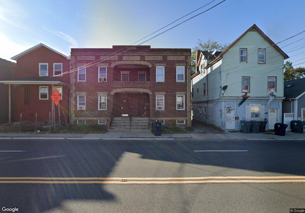
645 Convery Blvd Perth Amboy, NJ 08861
Chickentown NeighborhoodEstimated Value: $354,000 - $484,000
--
Bed
--
Bath
1,476
Sq Ft
$289/Sq Ft
Est. Value
About This Home
This home is located at 645 Convery Blvd, Perth Amboy, NJ 08861 and is currently estimated at $426,138, approximately $288 per square foot. 645 Convery Blvd is a home located in Middlesex County with nearby schools including Perth Amboy High School, Middlesex County STEM Charter School, and Academy for Urban Leadership Charter School.
Ownership History
Date
Name
Owned For
Owner Type
Purchase Details
Closed on
Mar 30, 2004
Sold by
Redd Dan
Bought by
Grooms George
Current Estimated Value
Home Financials for this Owner
Home Financials are based on the most recent Mortgage that was taken out on this home.
Original Mortgage
$234,000
Interest Rate
5.75%
Create a Home Valuation Report for This Property
The Home Valuation Report is an in-depth analysis detailing your home's value as well as a comparison with similar homes in the area
Home Values in the Area
Average Home Value in this Area
Purchase History
| Date | Buyer | Sale Price | Title Company |
|---|---|---|---|
| Grooms George | $312,000 | -- |
Source: Public Records
Mortgage History
| Date | Status | Borrower | Loan Amount |
|---|---|---|---|
| Previous Owner | Grooms George | $234,000 |
Source: Public Records
Tax History Compared to Growth
Tax History
| Year | Tax Paid | Tax Assessment Tax Assessment Total Assessment is a certain percentage of the fair market value that is determined by local assessors to be the total taxable value of land and additions on the property. | Land | Improvement |
|---|---|---|---|---|
| 2025 | $6,296 | $208,700 | $75,400 | $133,300 |
| 2024 | $6,284 | $208,700 | $75,400 | $133,300 |
| 2023 | $6,284 | $208,700 | $75,400 | $133,300 |
| 2022 | $6,209 | $208,700 | $75,400 | $133,300 |
| 2021 | $6,217 | $208,700 | $75,400 | $133,300 |
| 2020 | $6,215 | $208,700 | $75,400 | $133,300 |
| 2019 | $6,238 | $208,700 | $75,400 | $133,300 |
| 2018 | $6,184 | $208,700 | $75,400 | $133,300 |
| 2017 | $6,171 | $208,700 | $75,400 | $133,300 |
| 2016 | $6,011 | $208,700 | $75,400 | $133,300 |
| 2015 | $6,052 | $208,700 | $75,400 | $133,300 |
| 2014 | $6,090 | $208,700 | $75,400 | $133,300 |
Source: Public Records
Map
Nearby Homes
- 599 Pacific Ave
- 552 Compton Ave
- 559 Compton Ave
- 689 Mary St
- 485 Compton Ave
- 459 Brace Ave
- 649 Cornell St
- 720 Donald Ave
- 744 Donald Ave
- 693 Hanson Ave
- 752 Donald Ave
- 461 Lawrie St
- 448 Baker Place
- 438 Lawrie St
- 678 Bingle St
- 537 Harding Ave
- 376 Barclay St
- 359 Neville St
- 732 Vincent Place
- 397 Washington St
- 647 Convery Blvd
- 643 Convery Blvd
- 649 Convery Blvd
- 641 Convery Blvd
- 653 Convery Blvd
- 651-653 Convery Blvd
- 631 Convery Blvd
- 657 Convery Blvd
- 655 Convery Blvd
- 612 Carson Ave
- 630 Carson Ave
- 622 Convery Blvd
- 622 Convery Blvd Unit 1
- 542 Kennedy St
- 616 Convery Blvd
- 659 Convery Blvd
- 616 Carson Ave
- 614 Carson Ave
- 622 Carson Ave
- 624 Carson Ave